How to get to Summit Beauty And Ink Corp by bus?
Click on the bus route to see step by step directions with maps, line arrival times and updated time schedules.
From South High Community School, Worcester
72 minFrom Walmart Supercenter, Worcester
42 minFrom Palladium, Worcester
38 minFrom Registry Of Motor Vehicles (Rmv) Branch Office, Worcester
33 minFrom Foxwoods, Worcester
49 minFrom Dcu Center, Worcester
39 minFrom Worcester, MA, Worcester
30 minFrom St Vincent Hospital TH Medical, Worcester
33 minFrom Saint Vincent Hospital at Worcester Medical Center, Worcester
52 minFrom Polar Park, Worcester
32 min
Bus stop near Summit Beauty And Ink Corp in Boston
- Southbridge St at West St, 11 min walk,VIEW
Bus lines to Summit Beauty And Ink Corp in Boston
What are the closest stations to Summit Beauty And Ink Corp?
The closest stations to Summit Beauty And Ink Corp are:
- Southbridge St at West St is 937 yards away, 11 min walk.
Which bus lines stop near Summit Beauty And Ink Corp?
These bus lines stop near Summit Beauty And Ink Corp: 29, 42.
What’s the nearest bus station to Summit Beauty And Ink Corp in Boston?
The nearest bus station to Summit Beauty And Ink Corp in Boston is Southbridge St at West St. It’s a 11 min walk away.
What time is the first bus to Summit Beauty And Ink Corp in Boston?
The 42 is the first bus that goes to Summit Beauty And Ink Corp in Boston. It stops nearby at 5:38 AM.
What time is the last bus to Summit Beauty And Ink Corp in Boston?
The 42 is the last bus that goes to Summit Beauty And Ink Corp in Boston. It stops nearby at 8:48 PM.
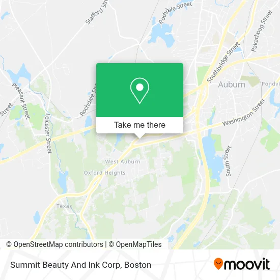
See Summit Beauty And Ink Corp, Boston, on the map
Public Transit to Summit Beauty And Ink Corp in Boston
Wondering how to get to Summit Beauty And Ink Corp in Boston? Moovit helps you find the best way to get to Summit Beauty And Ink Corp with step-by-step directions from the nearest public transit station.
Moovit provides free maps and live directions to help you navigate through your city. View schedules, routes, timetables, and find out how long does it take to get to Summit Beauty And Ink Corp in real time.
Looking for the nearest stop or station to Summit Beauty And Ink Corp? Check out this list of stops closest to your destination: Southbridge St at West St.
Bus: 29, 42.
Want to see if there’s another route that gets you there at an earlier time? Moovit helps you find alternative routes or times. Get directions from and directions to Summit Beauty And Ink Corp easily from the Moovit App or Website.
We make riding to Summit Beauty And Ink Corp easy, which is why over 1.7 million users, including users in Boston, trust Moovit as the best app for public transit. You don’t need to download an individual bus app or train app, Moovit is your all-in-one transit app that helps you find the best bus time or train time available.
For information on prices of bus, costs and ride fares to Summit Beauty And Ink Corp, please check the Moovit app.
Use the app to navigate to popular places including to the airport, hospital, stadium, grocery store, mall, coffee shop, school, college, and university.
Summit Beauty And Ink Corp Address: 4 Appleton Rd street in Boston
- Shear Soul,
- Hair by Nichole Bacon,
- Brows by Jacinthia,
- Law Offices of Jessica L. Albino,
- Auburn Therapeutic Massage,
- Laroyal Esthetics,
- Direct Autocare,
- Adler Tank Rentals,
- Family Behavioral Health,
- Unlock Car Services,
- Thrifty,
- Town of Auburn School Dept,
- ATM,
- Hunter-Mason Lisa PC,
- Interstate Batteries,
- Paula Mollov - NMLS,
- CMG Financial,
- Bob Naranjo - CMG Home Loans,
- Tom Hunt - CMG Home Loans Mortgage,
- Greg Gentile - CMG Home Loans
Places Near Summit Beauty And Ink Corp (Boston)
- Isabella Stewart Gardner Museum, Boston,
- Cheers, Boston,
- House Of Blues, Boston,
- Boston Convention & Exhibition Center, Boston,
- North End, Boston,
- Castle Island, Boston,
- Seaport District, Boston,
- Wang Theater, Boston,
- Td Garden, Boston,
- Quincy Market, Boston,
- Mgm Music Hall, Boston,
- Boston Medical Center, Boston,
- Faneuil Hall, Boston,
- Wilbur Theatre, Boston,
- Boston Children's Hospital, Boston,
- Museum Of Science, Boston,
- Boston Common, Boston,
- Massachusetts General Hospital, Boston,
- Leader Bank Pavilion (Leader Bank Pavillion), Boston,
- Prudential Center, Boston
How to get to popular places in Boston with public transit
Get around Boston by public transit!
Traveling around Boston has never been so easy. See step by step directions as you travel to any attraction, street or major public transit station. View bus and train schedules, arrival times, service alerts and detailed routes on a map, so you know exactly how to get to anywhere in Boston.
When traveling to any destination around Boston use Moovit's Live Directions with Get Off Notifications to know exactly where and how far to walk, how long to wait for your line, and how many stops are left. Moovit will alert you when it's time to get off — no need to constantly re-check whether yours is the next stop.
Wondering how to use public transit in Boston or how to pay for public transit in Boston? Moovit public transit app can help you navigate your way with public transit easily, and at minimum cost. It includes public transit fees, ticket prices, and costs. Looking for a map of Boston public transit lines? Moovit public transit app shows all public transit maps in Boston with all Bus, Train, Subway and Ferry routes and stops on an interactive map.
Boston has 4 transit type(s), including: Bus, Train, Subway and Ferry, operated by several transit agencies, including MBTA, Southeastern Regional Transit Authority, MetroWest Regional Transit Authority, Rhode Island Public Transit Authority, WRTA, Lowell Regional Transit Authority, Merrimack Valley Transit, Montachusett Regional Transit Authority, Cape Cod Regional Transit Authority, Brockton Area Transit Authority, Martha's Vineyard Transit Authority, the WAVE - Nantucket Regional Transit Authority, GATRA, Cape Ann Transportation Authority and Massport