How to get to Summit Geotechnical Consultants, Inc. by bus?
Click on the bus route to see step by step directions with maps, line arrival times and updated time schedules.
From Fresh Pond Mall, Cambridge
32 minFrom Terrace Room, Paige Hall, Medford
53 minFrom Chevalier Theatre (Chevalier Theater Show Line), Medford
64 minFrom Boston Dynamics, Waltham
148 minFrom Bentley University, Waltham
139 minFrom Chevalier Theater, Medford
64 minFrom Medford Square, Medford
62 minFrom Woburn, MA, Woburn
73 minFrom Tufts University, Medford
52 min
Bus stops near Summit Geotechnical Consultants, Inc. in Lexington
Bus lines to Summit Geotechnical Consultants, Inc. in Lexington
What are the closest stations to Summit Geotechnical Consultants, Inc.?
The closest stations to Summit Geotechnical Consultants, Inc. are:
- Massachusetts Ave @ Slocum Rd is 420 yards away, 6 min walk.
- Lexington Center (Arrive/Depart) is 469 yards away, 6 min walk.
Which bus lines stop near Summit Geotechnical Consultants, Inc.?
These bus lines stop near Summit Geotechnical Consultants, Inc.: 62, 76.
What’s the nearest bus station to Summit Geotechnical Consultants, Inc. in Lexington?
The nearest bus stations to Summit Geotechnical Consultants, Inc. in Lexington are Massachusetts Ave @ Slocum Rd and Lexington Center (Arrive/Depart). The closest one is a 6 min walk away.
What time is the first bus to Summit Geotechnical Consultants, Inc. in Lexington?
The 62 is the first bus that goes to Summit Geotechnical Consultants, Inc. in Lexington. It stops nearby at 5:23 AM.
What time is the last bus to Summit Geotechnical Consultants, Inc. in Lexington?
The 62 is the last bus that goes to Summit Geotechnical Consultants, Inc. in Lexington. It stops nearby at 10:39 PM.
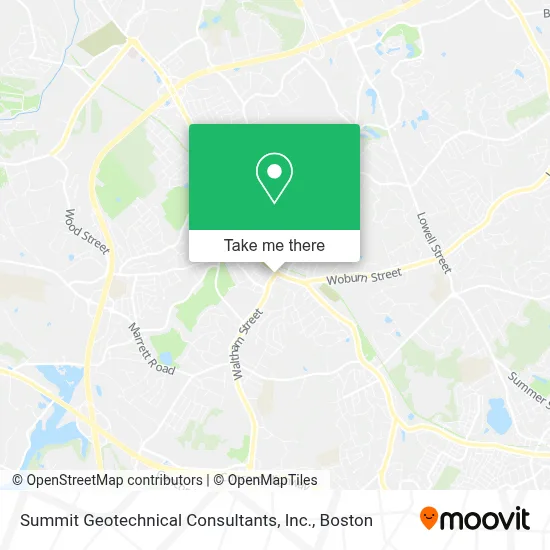
See Summit Geotechnical Consultants, Inc., Lexington, on the map
Public Transit to Summit Geotechnical Consultants, Inc. in Lexington
Wondering how to get to Summit Geotechnical Consultants, Inc. in Lexington? Moovit helps you find the best way to get to Summit Geotechnical Consultants, Inc. with step-by-step directions from the nearest public transit station.
Moovit provides free maps and live directions to help you navigate through your city. View schedules, routes, timetables, and find out how long does it take to get to Summit Geotechnical Consultants, Inc. in real time.
Looking for the nearest stop or station to Summit Geotechnical Consultants, Inc.? Check out this list of stops closest to your destination: Massachusetts Ave @ Slocum Rd; Lexington Center (Arrive/Depart).
Bus: 62, 76, R2.
Want to see if there’s another route that gets you there at an earlier time? Moovit helps you find alternative routes or times. Get directions from and directions to Summit Geotechnical Consultants, Inc. easily from the Moovit App or Website.
We make riding to Summit Geotechnical Consultants, Inc. easy, which is why over 1.7 million users, including users in Lexington, trust Moovit as the best app for public transit. You don’t need to download an individual bus app or train app, Moovit is your all-in-one transit app that helps you find the best bus time or train time available.
For information on prices of bus and subway, costs and ride fares to Summit Geotechnical Consultants, Inc., please check the Moovit app.
Use the app to navigate to popular places including to the airport, hospital, stadium, grocery store, mall, coffee shop, school, college, and university.
Summit Geotechnical Consultants, Inc. Address: 17 Waltham St street in Lexington
- Lexington, MA,
- Justine Wirtanen Realtor,
- Fiorella's,
- Joseph V Papandrea Od,
- Hfi,
- Stretchmed Lexington,
- Susan Macedo Kadilak,
- When Pigs Fly,
- Coleen McAdam Real Estate,
- Nouvé Bakery,
- Morgan Stanley Wealth Management,
- Emerald Garage Door Repair,
- Terrence McManus,
- New Star Reality,
- Galaray House,
- DCU Digital Federal Credit Union,
- Waltham Street Lot,
- Nassau Capital Partners,
- Amazon Counter-Michelsonâs Shoes- Lexington,
- Revival Cafe & Kitchen
Places Near Summit Geotechnical Consultants, Inc. (Lexington)
- Boston Common, Boston,
- Prudential Center, Boston,
- Cheers, Boston,
- North End, Boston,
- Quincy Market, Boston,
- Leader Bank Pavilion (Leader Bank Pavillion), Boston,
- Boston Children's Hospital, Boston,
- Museum Of Science, Boston,
- Wilbur Theatre, Boston,
- Mgm Music Hall, Boston,
- Wang Theater, Boston,
- House Of Blues, Boston,
- Td Garden, Boston,
- Seaport District, Boston,
- Faneuil Hall, Boston,
- Massachusetts General Hospital, Boston,
- Isabella Stewart Gardner Museum, Boston,
- Boston Medical Center, Boston,
- Castle Island, Boston,
- Boston Convention & Exhibition Center, Boston
How to get to popular places in Boston with public transit
Get around Lexington by public transit!
Traveling around Lexington has never been so easy. See step by step directions as you travel to any attraction, street or major public transit station. View bus and train schedules, arrival times, service alerts and detailed routes on a map, so you know exactly how to get to anywhere in Lexington.
When traveling to any destination around Lexington use Moovit's Live Directions with Get Off Notifications to know exactly where and how far to walk, how long to wait for your line, and how many stops are left. Moovit will alert you when it's time to get off — no need to constantly re-check whether yours is the next stop.
Wondering how to use public transit in Lexington or how to pay for public transit in Lexington? Moovit public transit app can help you navigate your way with public transit easily, and at minimum cost. It includes public transit fees, ticket prices, and costs. Looking for a map of Lexington public transit lines? Moovit public transit app shows all public transit maps in Lexington with all Bus, Train, Subway and Ferry routes and stops on an interactive map.
Boston has 4 transit type(s), including: Bus, Train, Subway and Ferry, operated by several transit agencies, including MBTA, Southeastern Regional Transit Authority, MetroWest Regional Transit Authority, Rhode Island Public Transit Authority, WRTA, Lowell Regional Transit Authority, Merrimack Valley Transit, Montachusett Regional Transit Authority, Cape Cod Regional Transit Authority, Brockton Area Transit Authority, Martha's Vineyard Transit Authority, the WAVE - Nantucket Regional Transit Authority, GATRA, Cape Ann Transportation Authority and Massport