How to get to Table Of Contents by bus?
Click on the bus route to see step by step directions with maps, line arrival times and updated time schedules.
Bus stops near Table Of Contents in Boston
Train station near Table Of Contents in Boston
- Northampton, 17 min walk,VIEW
Bus lines to Table Of Contents in Boston
What are the closest stations to Table Of Contents?
The closest stations to Table Of Contents are:
- Starlite Center is 62 yards away, 2 min walk.
- Florence Center (Inbound) is 759 yards away, 10 min walk.
- Northampton is 1425 yards away, 17 min walk.
Which bus lines stop near Table Of Contents?
These bus lines stop near Table Of Contents: 31, 904, R42, R44.
What’s the nearest train station to Table Of Contents in Boston?
The nearest train station to Table Of Contents in Boston is Northampton. It’s a 17 min walk away.
What’s the nearest bus station to Table Of Contents in Boston?
The nearest bus station to Table Of Contents in Boston is Starlite Center. It’s a 2 min walk away.
What time is the first train to Table Of Contents in Boston?
The VALLEY FLYER is the first train that goes to Table Of Contents in Boston. It stops nearby at 6:30 AM.
What time is the last train to Table Of Contents in Boston?
The VALLEY FLYER is the last train that goes to Table Of Contents in Boston. It stops nearby at 10:07 PM.
What time is the first bus to Table Of Contents in Boston?
The R42 is the first bus that goes to Table Of Contents in Boston. It stops nearby at 5:54 AM.
What time is the last bus to Table Of Contents in Boston?
The 904 is the last bus that goes to Table Of Contents in Boston. It stops nearby at 8:45 PM.
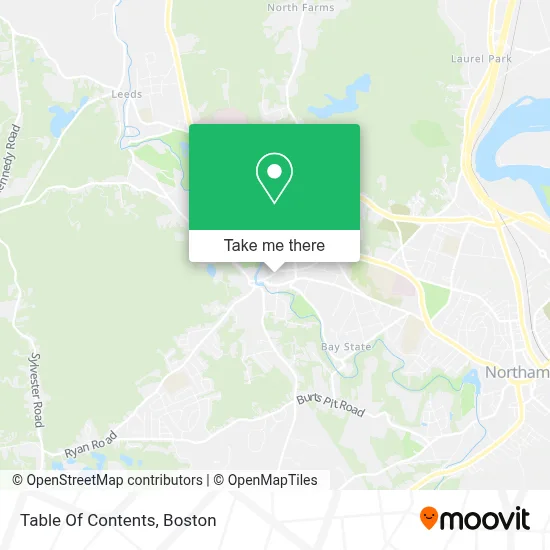
See Table Of Contents, Boston, on the map
Public Transit to Table Of Contents in Boston
Wondering how to get to Table Of Contents in Boston? Moovit helps you find the best way to get to Table Of Contents with step-by-step directions from the nearest public transit station.
Moovit provides free maps and live directions to help you navigate through your city. View schedules, routes, timetables, and find out how long does it take to get to Table Of Contents in real time.
Looking for the nearest stop or station to Table Of Contents? Check out this list of stops closest to your destination: Starlite Center; Florence Center (Inbound); Northampton.
Bus: 31, 904, R42, R44.Train: VALLEY FLYER, VERMONTER.
Want to see if there’s another route that gets you there at an earlier time? Moovit helps you find alternative routes or times. Get directions from and directions to Table Of Contents easily from the Moovit App or Website.
We make riding to Table Of Contents easy, which is why over 1.7 million users, including users in Boston, trust Moovit as the best app for public transit. You don’t need to download an individual bus app or train app, Moovit is your all-in-one transit app that helps you find the best bus time or train time available.
For information on prices of bus, costs and ride fares to Table Of Contents, please check the Moovit app.
Use the app to navigate to popular places including to the airport, hospital, stadium, grocery store, mall, coffee shop, school, college, and university.
Table Of Contents Address: 140 Pine St street in Boston
- Florence Community Center,
- Rolling Clouds Soapery,
- Florence Grammar,
- Bombyx Center for Arts & Equity,
- Precision Ball Graining,
- Star Light Center,
- Great Wall,
- Pine Street Cafe,
- Un Arrêt Café,
- Public Library,
- S&S Studio Cabinetry Gallery,
- Servicenet Admin Support Office,
- Dax Transportation,
- Hub,
- Chareco Sewing Machines,
- The Integrative Healing Arts Academy,
- Pioneer Precision Optics,
- Spitjack,
- Stuart F Solomon Antiques,
- United Republic Education Fund
Places Near Table Of Contents (Boston)
- Wang Theater, Boston,
- Leader Bank Pavilion (Leader Bank Pavillion), Boston,
- Boston Children's Hospital, Boston,
- Mgm Music Hall, Boston,
- Isabella Stewart Gardner Museum, Boston,
- Quincy Market, Boston,
- Boston Medical Center, Boston,
- Massachusetts General Hospital, Boston,
- Seaport District, Boston,
- Prudential Center, Boston,
- Faneuil Hall, Boston,
- Castle Island, Boston,
- Boston Convention & Exhibition Center, Boston,
- Wilbur Theatre, Boston,
- Boston Common, Boston,
- Td Garden, Boston,
- Cheers, Boston,
- North End, Boston,
- Museum Of Science, Boston,
- House Of Blues, Boston
How to get to popular places in Boston with public transit
Get around Boston by public transit!
Traveling around Boston has never been so easy. See step by step directions as you travel to any attraction, street or major public transit station. View bus and train schedules, arrival times, service alerts and detailed routes on a map, so you know exactly how to get to anywhere in Boston.
When traveling to any destination around Boston use Moovit's Live Directions with Get Off Notifications to know exactly where and how far to walk, how long to wait for your line, and how many stops are left. Moovit will alert you when it's time to get off — no need to constantly re-check whether yours is the next stop.
Wondering how to use public transit in Boston or how to pay for public transit in Boston? Moovit public transit app can help you navigate your way with public transit easily, and at minimum cost. It includes public transit fees, ticket prices, and costs. Looking for a map of Boston public transit lines? Moovit public transit app shows all public transit maps in Boston with all Bus, Train, Subway and Ferry routes and stops on an interactive map.
Boston has 4 transit type(s), including: Bus, Train, Subway and Ferry, operated by several transit agencies, including MBTA, Southeastern Regional Transit Authority, MetroWest Regional Transit Authority, Rhode Island Public Transit Authority, WRTA, Lowell Regional Transit Authority, Merrimack Valley Transit, Montachusett Regional Transit Authority, Cape Cod Regional Transit Authority, Brockton Area Transit Authority, Martha's Vineyard Transit Authority, the WAVE - Nantucket Regional Transit Authority, GATRA, Cape Ann Transportation Authority and Massport