Directions to Taste Of Lebanon (Boston) with public transportation
The following transit lines have routes that pass near Taste Of Lebanon
 Bus: R10, R14.
- Train: LAKE SHORE LIMITED, VERMONTER, AMTRAK HARTFORD LINE, NORTHEAST REGIONAL, VALLEY FLYER.
How to get to Taste Of Lebanon by bus?
Click on the bus route to see step by step directions with maps, line arrival times and updated time schedules.
From Worcester, MA, Worcester
93 minFrom Dcu Center, Worcester
95 minFrom Registry Of Motor Vehicles (Rmv) Branch Office, Worcester
97 minFrom South High Community School, Worcester
190 minFrom Palladium, Worcester
98 minFrom Foxwoods, Worcester
122 minFrom Polar Park, Worcester
94 minFrom Walmart Supercenter, Worcester
152 min
How to get to Taste Of Lebanon by train?
Click on the train route to see step by step directions with maps, line arrival times and updated time schedules.
Bus stops near Taste Of Lebanon in Boston
Train station near Taste Of Lebanon in Boston
- Springfield, 36 min walk,VIEW
Bus lines to Taste Of Lebanon in Boston
What are the closest stations to Taste Of Lebanon?
The closest stations to Taste Of Lebanon are:
- Main / Church is 58 yards away, 1 min walk.
- Memorial / Union is 489 yards away, 6 min walk.
- Springfield is 3011 yards away, 36 min walk.
Which bus line stops near Taste Of Lebanon?
R10 (Westfield State University)
Which train lines stop near Taste Of Lebanon?
These train lines stop near Taste Of Lebanon: LAKE SHORE LIMITED, VERMONTER.
What’s the nearest bus station to Taste Of Lebanon in Boston?
The nearest bus station to Taste Of Lebanon in Boston is Main / Church. It’s a 1 min walk away.
What time is the first train to Taste Of Lebanon in Boston?
The NORTHEAST REGIONAL is the first train that goes to Taste Of Lebanon in Boston. It stops nearby at 4:10 AM.
What time is the last train to Taste Of Lebanon in Boston?
The LAKE SHORE LIMITED is the last train that goes to Taste Of Lebanon in Boston. It stops nearby at 6:04 PM.
What time is the first bus to Taste Of Lebanon in Boston?
The R10 is the first bus that goes to Taste Of Lebanon in Boston. It stops nearby at 5:03 AM.
What time is the last bus to Taste Of Lebanon in Boston?
The R10 is the last bus that goes to Taste Of Lebanon in Boston. It stops nearby at 11:18 PM.
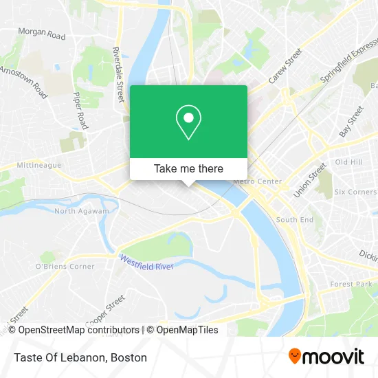
See Taste Of Lebanon, Boston, on the map
Public Transit to Taste Of Lebanon in Boston
Wondering how to get to Taste Of Lebanon in Boston? Moovit helps you find the best way to get to Taste Of Lebanon with step-by-step directions from the nearest public transit station.
Moovit provides free maps and live directions to help you navigate through your city. View schedules, routes, timetables, and find out how long does it take to get to Taste Of Lebanon in real time.
Looking for the nearest stop or station to Taste Of Lebanon? Check out this list of stops closest to your destination: Main / Church; Memorial / Union; Springfield.
Bus: R10, R14.Train: LAKE SHORE LIMITED, VERMONTER, AMTRAK HARTFORD LINE, NORTHEAST REGIONAL, VALLEY FLYER.
Want to see if there’s another route that gets you there at an earlier time? Moovit helps you find alternative routes or times. Get directions from and directions to Taste Of Lebanon easily from the Moovit App or Website.
We make riding to Taste Of Lebanon easy, which is why over 1.7 million users, including users in Boston, trust Moovit as the best app for public transit. You don’t need to download an individual bus app or train app, Moovit is your all-in-one transit app that helps you find the best bus time or train time available.
For information on prices of bus and train, costs and ride fares to Taste Of Lebanon, please check the Moovit app.
Use the app to navigate to popular places including to the airport, hospital, stadium, grocery store, mall, coffee shop, school, college, and university.
Taste Of Lebanon Address: 553 Main St street in Boston
- May Center School For Autism And Developmental Disabilities,
- St Thomas Catholic Church,
- Union Mart,
- Yara Market,
- St Francis Xavier Cabrini Parish,
- Little Futures Preschool,
- Westside Aikido,
- Santana's Kung Fu Studio,
- Raw Beauty,
- Westside Sign TW,
- Bethesda House of Grace,
- Health Products Shop,
- Sisters of Saint Joseph,
- Salsa Con Clase,
- Sunshine Village,
- Corner Pantry,
- Mas Transport Mas Transport,
- Shine Rite Auto Cleaning & Detailing,
- Alice Carson Playground,
- West Springfield / Agawam Parish Cupboard
Places Near Taste Of Lebanon (Boston)
- Isabella Stewart Gardner Museum, Boston,
- Seaport District, Boston,
- North End, Boston,
- Museum Of Science, Boston,
- Leader Bank Pavilion (Leader Bank Pavillion), Boston,
- House Of Blues, Boston,
- Td Garden, Boston,
- Prudential Center, Boston,
- Mgm Music Hall, Boston,
- Quincy Market, Boston,
- Faneuil Hall, Boston,
- Wilbur Theatre, Boston,
- Boston Common, Boston,
- Boston Children's Hospital, Boston,
- Boston Convention & Exhibition Center, Boston,
- Castle Island, Boston,
- Cheers, Boston,
- Wang Theater, Boston,
- Boston Medical Center, Boston,
- Massachusetts General Hospital, Boston
How to get to popular places in Boston with public transit
Get around Boston by public transit!
Traveling around Boston has never been so easy. See step by step directions as you travel to any attraction, street or major public transit station. View bus and train schedules, arrival times, service alerts and detailed routes on a map, so you know exactly how to get to anywhere in Boston.
When traveling to any destination around Boston use Moovit's Live Directions with Get Off Notifications to know exactly where and how far to walk, how long to wait for your line, and how many stops are left. Moovit will alert you when it's time to get off — no need to constantly re-check whether yours is the next stop.
Wondering how to use public transit in Boston or how to pay for public transit in Boston? Moovit public transit app can help you navigate your way with public transit easily, and at minimum cost. It includes public transit fees, ticket prices, and costs. Looking for a map of Boston public transit lines? Moovit public transit app shows all public transit maps in Boston with all Bus, Train, Subway and Ferry routes and stops on an interactive map.
Boston has 4 transit type(s), including: Bus, Train, Subway and Ferry, operated by several transit agencies, including MBTA, Southeastern Regional Transit Authority, MetroWest Regional Transit Authority, Rhode Island Public Transit Authority, WRTA, Lowell Regional Transit Authority, Merrimack Valley Transit, Montachusett Regional Transit Authority, Cape Cod Regional Transit Authority, Brockton Area Transit Authority, Martha's Vineyard Transit Authority, the WAVE - Nantucket Regional Transit Authority, GATRA, Cape Ann Transportation Authority and Massport