How to get to Taylor & Mathis by bus?
Click on the bus route to see step by step directions with maps, line arrival times and updated time schedules.
From 79th street and nw 17th ave., Miami
75 minFrom SW 11th St / SW 3rd Ave, Miami
57 minFrom Stephen P. Clark Center, Miami
50 minFrom MDT Metrorail - Hialeah Station, Hialeah
87 minFrom Jackson Health System, Jackson Memorial Hospital, South Florida AIDS Network, Miami
59 minFrom Santa Clara Metrorail Station, Miami
60 minFrom Main Library - Miami-Dade Public Library System, Miami
50 minFrom Ransom Everglades School, Miami
84 minFrom Coconut Grove Arts Festival, Miami
80 minFrom John Pennekamp Coral reef state park, Miami
71 min
Bus stops near Taylor & Mathis in Miami
Bus lines to Taylor & Mathis in Miami
What are the closest stations to Taylor & Mathis?
The closest stations to Taylor & Mathis are:
- Blue Lagoon Dr & # 6161 is 131 yards away, 2 min walk.
- Nw 7 St & 62 Av is 856 yards away, 11 min walk.
- Nw 7 St & Nw 60 Av is 1304 yards away, 16 min walk.
Which bus lines stop near Taylor & Mathis?
These bus lines stop near Taylor & Mathis: 57, 7.
What’s the nearest bus station to Taylor & Mathis in Miami?
The nearest bus station to Taylor & Mathis in Miami is Blue Lagoon Dr & # 6161. It’s a 2 min walk away.
What time is the first bus to Taylor & Mathis in Miami?
The 7 is the first bus that goes to Taylor & Mathis in Miami. It stops nearby at 5:19 AM.
What time is the last bus to Taylor & Mathis in Miami?
The 7 is the last bus that goes to Taylor & Mathis in Miami. It stops nearby at 12:01 AM.
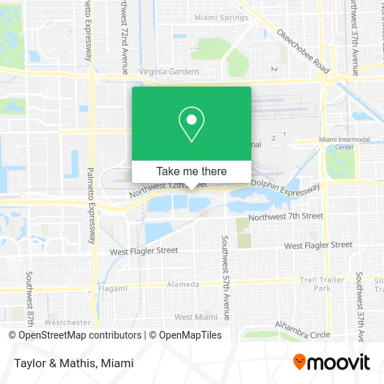
See Taylor & Mathis, Miami, on the map
Public Transit to Taylor & Mathis in Miami
Wondering how to get to Taylor & Mathis in Miami? Moovit helps you find the best way to get to Taylor & Mathis with step-by-step directions from the nearest public transit station.
Moovit provides free maps and live directions to help you navigate through your city. View schedules, routes, timetables, and find out how long does it take to get to Taylor & Mathis in real time.
Looking for the nearest stop or station to Taylor & Mathis? Check out this list of stops closest to your destination: Blue Lagoon Dr & # 6161; Nw 7 St & 62 Av; Nw 7 St & Nw 60 Av.
Bus: 57, 7, MIAFLAG.
Want to see if there’s another route that gets you there at an earlier time? Moovit helps you find alternative routes or times. Get directions from and directions to Taylor & Mathis easily from the Moovit App or Website.
We make riding to Taylor & Mathis easy, which is why over 1.5 million users, including users in Miami, trust Moovit as the best app for public transit. You don’t need to download an individual bus app or train app, Moovit is your all-in-one transit app that helps you find the best bus time or train time available.
For information on prices of bus and train, costs and ride fares to Taylor & Mathis, please check the Moovit app.
Use the app to navigate to popular places including to the airport, hospital, stadium, grocery store, mall, coffee shop, school, college, and university.
Taylor & Mathis Address: 6161 Blue Lagoon Dr Miami, FL 33126 street in Miami
- Conviva Care Solutions,
- David A Donet,
- Abogado de Inmigracion Jorge Rivera - Immigration Group,
- Abogado de Inmigracion Jorge Rivera,
- Rogers Behavioral Health,
- Advantage Credit Counseling,
- Quick Hook Towing & Recovery,
- Federal Express Corporation,
- Digicel Top Up,
- Blink Charging,
- Aegfuels,
- Services International,
- Baxter,
- Wehavedevs,
- Amanda Demanda Law Group,
- Pullman Miami Airport Hotel,
- Gestoria Uruguaya,
- Med-Lab,
- Sole Farms,
- Fedex Express LAC Division
Places Near Taylor & Mathis (Miami)
- Dolphin Mall, Miami,
- Keiser University Flagship Campus, West Palm Beach,
- Miami VA Hospital, Miami,
- Sawgrass mall ( FL ), Miami Beach,
- Dolphin Mall Bus, Miami,
- Aventura Mall, Miami Beach,
- Miami Design District, Miami,
- Wynwood, Miami,
- Marlins Park, Miami,
- Richard E. Gerstein Justice Building, Miami,
- Bayside Marketplace, Miami,
- Aventura Mall, Miami,
- Sawgrass Mall, Miami,
- Miami-Dade County Courthouse, Miami,
- Little Havana, Miami,
- Port of Miami Cruise Terminal, Miami,
- Hard Rock Stadium, Miami Gardens,
- Brickell City Centre, Miami,
- Miami Freedom Park, Miami,
- Zoo Miami, Miami
How to get to popular places in Miami with public transit
Get around Miami by public transit!
Traveling around Miami has never been so easy. See step by step directions as you travel to any attraction, street or major public transit station. View bus and train schedules, arrival times, service alerts and detailed routes on a map, so you know exactly how to get to anywhere in Miami.
When traveling to any destination around Miami use Moovit's Live Directions with Get Off Notifications to know exactly where and how far to walk, how long to wait for your line, and how many stops are left. Moovit will alert you when it's time to get off — no need to constantly re-check whether yours is the next stop.
Wondering how to use public transit in Miami or how to pay for public transit in Miami? Moovit public transit app can help you navigate your way with public transit easily, and at minimum cost. It includes public transit fees, ticket prices, and costs. Looking for a map of Miami public transit lines? Moovit public transit app shows all public transit maps in Miami with all Bus, Train, Light Rail and Ferry routes and stops on an interactive map.
Miami has 4 transit type(s), including: Bus, Train, Light Rail and Ferry, operated by several transit agencies, including Broward County Transit, Miami-Dade Transit, Metrorail, Palm Tran, Tri-Rail, Brightline, MARTY, City of Homestead Trolley, Key West Transit, Treasure Coast Connector, GoLine IRT, Amtrak, Greyhound-us, FlixBus-us and Aventura Express Shuttle Bus