Directions to Ten Media (Lynn) with public transportation
The following transit lines have routes that pass near Ten Media
 Bus: 435, 436, 442, 455, 441.
- Train: NEWBURYPORT/ROCKPORT.
- Ferry: LYNN FERRY.
How to get to Ten Media by bus?
Click on the bus route to see step by step directions with maps, line arrival times and updated time schedules.
From Hilton Garden Inn Boston Logan Airport, Boston
57 minFrom Winthrop, Winthrop Town
84 minFrom Marblehead, MA, Marblehead
22 minFrom Suffolk Downs, Boston
54 minFrom Belle Isle Lobster & Seafood, Winthrop Town
74 minFrom Peabody, MA, Peabody
42 minFrom Choi's Health Spa, Saugus
46 minFrom Walmart, Saugus
72 minFrom Malden Catholic High School, Malden
67 min
Bus stops near Ten Media in Lynn
Train station near Ten Media in Lynn
- Swampscott, 24 min walk,VIEW
Ferry station near Ten Media in Lynn
- Blossom Street Pier, 44 min walk,VIEW
Bus lines to Ten Media in Lynn
What are the closest stations to Ten Media?
The closest stations to Ten Media are:
- Lewis St @ Atlantic St is 74 yards away, 2 min walk.
- Olive St @ Fayette St is 188 yards away, 3 min walk.
- Union St @ Chestnut St is 390 yards away, 5 min walk.
- Nahant St @ W Baltimore St is 596 yards away, 8 min walk.
- Swampscott is 2048 yards away, 24 min walk.
- Blossom Street Pier is 3726 yards away, 44 min walk.
Which bus lines stop near Ten Media?
These bus lines stop near Ten Media: 435, 436, 442, 455.
What’s the nearest train station to Ten Media in Lynn?
The nearest train station to Ten Media in Lynn is Swampscott. It’s a 24 min walk away.
What’s the nearest bus station to Ten Media in Lynn?
The nearest bus station to Ten Media in Lynn is Lewis St @ Atlantic St. It’s a 2 min walk away.
What time is the first train to Ten Media in Lynn?
The NEWBURYPORT/ROCKPORT is the first train that goes to Ten Media in Lynn. It stops nearby at 5:27 AM.
What time is the last train to Ten Media in Lynn?
The NEWBURYPORT/ROCKPORT is the last train that goes to Ten Media in Lynn. It stops nearby at 12:20 AM.
What time is the first bus to Ten Media in Lynn?
The 442 is the first bus that goes to Ten Media in Lynn. It stops nearby at 5:08 AM.
What time is the last bus to Ten Media in Lynn?
The 441/442 is the last bus that goes to Ten Media in Lynn. It stops nearby at 1:36 AM.
What time is the first ferry to Ten Media in Lynn?
The LYNN FERRY is the first ferry that goes to Ten Media in Lynn. It stops nearby at 6:00 AM.
What time is the last ferry to Ten Media in Lynn?
The LYNN FERRY is the last ferry that goes to Ten Media in Lynn. It stops nearby at 7:55 PM.
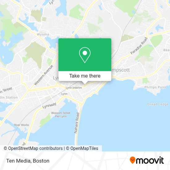
See Ten Media, Lynn, on the map
Public Transit to Ten Media in Lynn
Wondering how to get to Ten Media in Lynn? Moovit helps you find the best way to get to Ten Media with step-by-step directions from the nearest public transit station.
Moovit provides free maps and live directions to help you navigate through your city. View schedules, routes, timetables, and find out how long does it take to get to Ten Media in real time.
Looking for the nearest stop or station to Ten Media? Check out this list of stops closest to your destination: Lewis St @ Atlantic St; Olive St @ Fayette St; Union St @ Chestnut St; Nahant St @ W Baltimore St; Swampscott; Blossom Street Pier.
Bus: 435, 436, 442, 455, 441, 441/442, 456, 439.Train: NEWBURYPORT/ROCKPORT.Ferry: LYNN FERRY.
Want to see if there’s another route that gets you there at an earlier time? Moovit helps you find alternative routes or times. Get directions from and directions to Ten Media easily from the Moovit App or Website.
We make riding to Ten Media easy, which is why over 1.7 million users, including users in Lynn, trust Moovit as the best app for public transit. You don’t need to download an individual bus app or train app, Moovit is your all-in-one transit app that helps you find the best bus time or train time available.
For information on prices of bus and subway, costs and ride fares to Ten Media, please check the Moovit app.
Use the app to navigate to popular places including to the airport, hospital, stadium, grocery store, mall, coffee shop, school, college, and university.
Location: Lynn, Boston
- De Yovi Beuty Salon,
- Lewis St. Laundromat,
- Mi Patria Communications,
- Yanelis Mini Market & Deli Corp,
- Reymi Hair Salon,
- Victoria's International,
- 7-Eleven #37457,
- Nation Barber Shop,
- Variedades Oasis,
- Deep? Carpet Clean,
- Good Vibes Nutrition MA,
- Tropical Nails And Spa Salon,
- Wilson Gardens Associates,
- Termites Service,
- VIP Unisex Salon,
- Cover All Roofing and Home Improvements,
- El Siloe Es Eagles,
- Marion Painting & Decorating,
- Tinos Inc. Decks, Siding, Gutter, Painting And Carpentry,
- Equity Lab
Places Near Ten Media (Lynn)
- House Of Blues, Boston,
- Isabella Stewart Gardner Museum, Boston,
- North End, Boston,
- Prudential Center, Boston,
- Td Garden, Boston,
- Mgm Music Hall, Boston,
- Wilbur Theatre, Boston,
- Boston Common, Boston,
- Boston Medical Center, Boston,
- Boston Children's Hospital, Boston,
- Wang Theater, Boston,
- Massachusetts General Hospital, Boston,
- Castle Island, Boston,
- Faneuil Hall, Boston,
- Boston Convention & Exhibition Center, Boston,
- Seaport District, Boston,
- Cheers, Boston,
- Museum Of Science, Boston,
- Quincy Market, Boston,
- Leader Bank Pavilion (Leader Bank Pavillion), Boston
How to get to popular places in Boston with public transit
Get around Lynn by public transit!
Traveling around Lynn has never been so easy. See step by step directions as you travel to any attraction, street or major public transit station. View bus and train schedules, arrival times, service alerts and detailed routes on a map, so you know exactly how to get to anywhere in Lynn.
When traveling to any destination around Lynn use Moovit's Live Directions with Get Off Notifications to know exactly where and how far to walk, how long to wait for your line, and how many stops are left. Moovit will alert you when it's time to get off — no need to constantly re-check whether yours is the next stop.
Wondering how to use public transit in Lynn or how to pay for public transit in Lynn? Moovit public transit app can help you navigate your way with public transit easily, and at minimum cost. It includes public transit fees, ticket prices, and costs. Looking for a map of Lynn public transit lines? Moovit public transit app shows all public transit maps in Lynn with all Bus, Train, Subway and Ferry routes and stops on an interactive map.
Boston has 4 transit type(s), including: Bus, Train, Subway and Ferry, operated by several transit agencies, including MBTA, Southeastern Regional Transit Authority, MetroWest Regional Transit Authority, Rhode Island Public Transit Authority, WRTA, Lowell Regional Transit Authority, Merrimack Valley Transit, Montachusett Regional Transit Authority, Cape Cod Regional Transit Authority, Brockton Area Transit Authority, Martha's Vineyard Transit Authority, the WAVE - Nantucket Regional Transit Authority, GATRA, Cape Ann Transportation Authority and Massport