How to get to Thanksgiving Cd by bus?
Click on the bus route to see step by step directions with maps, line arrival times and updated time schedules.
From West Roxbury, Boston
74 minFrom Braintree, MA, Braintree Town
85 minFrom Moderna, Norwood
108 minFrom The Strand Theater, Boston
74 minFrom Jamaica Plain, Boston
57 minFrom Arnold Arboretum, Boston
57 minFrom Archbishop Williams High School, Braintree Town
73 minFrom Boston Latin Academy, Boston
60 minFrom Sam Adams Boston Brewery Tour, Boston
63 minFrom Dorchester, Boston
75 min
Bus stops near Thanksgiving Cd in Milton
What are the closest stations to Thanksgiving Cd?
The closest stations to Thanksgiving Cd are:
- Randolph Ave Opp Hillside St is 848 yards away, 10 min walk.
- Randolph Avenue @ Hillside Street is 914 yards away, 11 min walk.
Which bus line stops near Thanksgiving Cd?
240 (Holbrook/Randolph Via Crawford Square)
What’s the nearest bus station to Thanksgiving Cd in Milton?
The nearest bus station to Thanksgiving Cd in Milton is Randolph Ave Opp Hillside St. It’s a 10 min walk away.
What time is the first bus to Thanksgiving Cd in Milton?
The 240 is the first bus that goes to Thanksgiving Cd in Milton. It stops nearby at 4:51 AM.
What time is the last bus to Thanksgiving Cd in Milton?
The 240 is the last bus that goes to Thanksgiving Cd in Milton. It stops nearby at 1:07 AM.
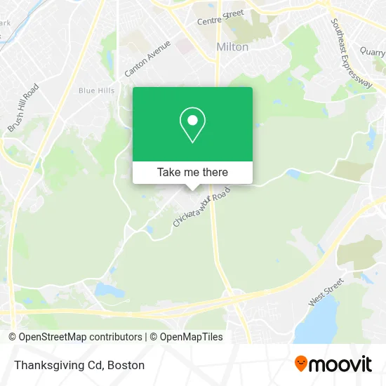
See Thanksgiving Cd, Milton, on the map
Public Transit to Thanksgiving Cd in Milton
Wondering how to get to Thanksgiving Cd in Milton? Moovit helps you find the best way to get to Thanksgiving Cd with step-by-step directions from the nearest public transit station.
Moovit provides free maps and live directions to help you navigate through your city. View schedules, routes, timetables, and find out how long does it take to get to Thanksgiving Cd in real time.
Looking for the nearest stop or station to Thanksgiving Cd? Check out this list of stops closest to your destination: Randolph Ave Opp Hillside St; Randolph Avenue @ Hillside Street.
Bus: 240, 12.
Want to see if there’s another route that gets you there at an earlier time? Moovit helps you find alternative routes or times. Get directions from and directions to Thanksgiving Cd easily from the Moovit App or Website.
We make riding to Thanksgiving Cd easy, which is why over 1.7 million users, including users in Milton, trust Moovit as the best app for public transit. You don’t need to download an individual bus app or train app, Moovit is your all-in-one transit app that helps you find the best bus time or train time available.
For information on prices of bus, subway and train, costs and ride fares to Thanksgiving Cd, please check the Moovit app.
Use the app to navigate to popular places including to the airport, hospital, stadium, grocery store, mall, coffee shop, school, college, and university.
Thanksgiving Cd Address: 70 Parkwood Dr street in Milton
- Friends of the White House,
- Blue Hills Reservation Parkways,
- Trusty Auto Glass,
- Olde Towne Real Estate,
- F Oldfield,
- Pepsi Plant,
- TTL Equipment,
- USPS Collection Box - Blue Box,
- Wollaston Golf Club,
- Boy Scouts of America (Boy Scout Day Camp Boston),
- Blue Hills Reservation,
- Blue Hills Reservation,
- Milton's Best Garage Doors,
- Route 28 North,
- Revive,
- Rick Baker, Realtor - Compass,
- Houghton's Pond,
- Lombardo's,
- Dorchester Biomedical,
- Vincent's Nightclub (Vincents Thursdays)
Places Near Thanksgiving Cd (Milton)
- Quincy Market, Boston,
- Museum Of Science, Boston,
- Cheers, Boston,
- North End, Boston,
- Castle Island, Boston,
- Seaport District, Boston,
- Wilbur Theatre, Boston,
- Td Garden, Boston,
- Mgm Music Hall, Boston,
- Isabella Stewart Gardner Museum, Boston,
- Boston Children's Hospital, Boston,
- Boston Medical Center, Boston,
- Wang Theater, Boston,
- House Of Blues, Boston,
- Prudential Center, Boston,
- Faneuil Hall, Boston,
- Leader Bank Pavilion (Leader Bank Pavillion), Boston,
- Boston Common, Boston,
- Massachusetts General Hospital, Boston,
- Boston Convention & Exhibition Center, Boston
How to get to popular places in Boston with public transit
Get around Milton by public transit!
Traveling around Milton has never been so easy. See step by step directions as you travel to any attraction, street or major public transit station. View bus and train schedules, arrival times, service alerts and detailed routes on a map, so you know exactly how to get to anywhere in Milton.
When traveling to any destination around Milton use Moovit's Live Directions with Get Off Notifications to know exactly where and how far to walk, how long to wait for your line, and how many stops are left. Moovit will alert you when it's time to get off — no need to constantly re-check whether yours is the next stop.
Wondering how to use public transit in Milton or how to pay for public transit in Milton? Moovit public transit app can help you navigate your way with public transit easily, and at minimum cost. It includes public transit fees, ticket prices, and costs. Looking for a map of Milton public transit lines? Moovit public transit app shows all public transit maps in Milton with all Bus, Train, Subway and Ferry routes and stops on an interactive map.
Boston has 4 transit type(s), including: Bus, Train, Subway and Ferry, operated by several transit agencies, including MBTA, Southeastern Regional Transit Authority, MetroWest Regional Transit Authority, Rhode Island Public Transit Authority, WRTA, Lowell Regional Transit Authority, Merrimack Valley Transit, Montachusett Regional Transit Authority, Cape Cod Regional Transit Authority, Brockton Area Transit Authority, Martha's Vineyard Transit Authority, the WAVE - Nantucket Regional Transit Authority, GATRA, Cape Ann Transportation Authority and Massport