Directions to The Alley (Hingham) with public transportation
The following transit lines have routes that pass near The Alley
 Bus: 220, 714.
- Train: GREENBUSH.
- Ferry: BUMPKIN ISLAND FERRY, GEORGES ISLAND FERRY, HEWITT'S COVE FERRY, PEDDOCKS ISLAND FERRY, HINGHAM FERRY.
How to get to The Alley by bus?
Click on the bus route to see step by step directions with maps, line arrival times and updated time schedules.
From Wollaston Beach, Quincy
101 minFrom Archbishop Williams High School, Braintree Town
72 minFrom Nantasket Beach, Hull
39 minFrom South Shore Plaza Mbta Bus Stop, Braintree Town
91 minFrom rmv Braintree, Braintree Town
106 minFrom Dolphin Day Surgery Waiting Area, Weymouth Town
109 minFrom South Shore Plaza, Braintree Town
97 minFrom Qea, Quincy
65 minFrom Quincy Center Station, Quincy
49 minFrom Quincy, MA, Quincy
53 min
How to get to The Alley by train?
Click on the train route to see step by step directions with maps, line arrival times and updated time schedules.
Train station near The Alley in Hingham
- East Weymouth, 10 min walk,VIEW
What are the closest stations to The Alley?
The closest stations to The Alley are:
- East Weymouth is 830 yards away, 10 min walk.
- Hewitt's Cove is 5269 yards away, 61 min walk.
- Hingham is 5280 yards away, 62 min walk.
Which bus lines stop near The Alley?
These bus lines stop near The Alley: 220, 714.
Which train line stops near The Alley?
GREENBUSH (#1061 | Greenbush)
What’s the nearest train station to The Alley in Hingham?
The nearest train station to The Alley in Hingham is East Weymouth. It’s a 10 min walk away.
What time is the first train to The Alley in Hingham?
The GREENBUSH is the first train that goes to The Alley in Hingham. It stops nearby at 5:32 AM.
What time is the last train to The Alley in Hingham?
The GREENBUSH is the last train that goes to The Alley in Hingham. It stops nearby at 12:26 AM.
What time is the first ferry to The Alley in Hingham?
The HINGHAM/HULL FERRY is the first ferry that goes to The Alley in Hingham. It stops nearby at 5:40 AM.
What time is the last ferry to The Alley in Hingham?
The HINGHAM/HULL FERRY is the last ferry that goes to The Alley in Hingham. It stops nearby at 10:50 PM.
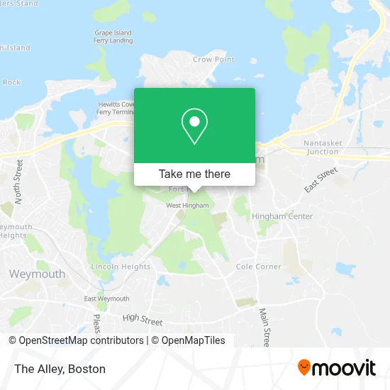
See The Alley, Hingham, on the map
Public Transit to The Alley in Hingham
Wondering how to get to The Alley in Hingham? Moovit helps you find the best way to get to The Alley with step-by-step directions from the nearest public transit station.
Moovit provides free maps and live directions to help you navigate through your city. View schedules, routes, timetables, and find out how long does it take to get to The Alley in real time.
Looking for the nearest stop or station to The Alley? Check out this list of stops closest to your destination: East Weymouth; Hewitt's Cove; Hingham.
Bus: 220, 714.Train: GREENBUSH.Ferry: BUMPKIN ISLAND FERRY, GEORGES ISLAND FERRY, HEWITT'S COVE FERRY, PEDDOCKS ISLAND FERRY, HINGHAM FERRY, HINGHAM/HULL FERRY.
Want to see if there’s another route that gets you there at an earlier time? Moovit helps you find alternative routes or times. Get directions from and directions to The Alley easily from the Moovit App or Website.
We make riding to The Alley easy, which is why over 1.7 million users, including users in Hingham, trust Moovit as the best app for public transit. You don’t need to download an individual bus app or train app, Moovit is your all-in-one transit app that helps you find the best bus time or train time available.
For information on prices of bus and train, costs and ride fares to The Alley, please check the Moovit app.
Use the app to navigate to popular places including to the airport, hospital, stadium, grocery store, mall, coffee shop, school, college, and university.
The Alley Address: 274 South St street in Hingham
- The Greenside Grille Restaurant,
- Raffael's at South Shore Country Club,
- Home Care Partners,
- Locks & Locksmiths,
- FLO,
- 7-Eleven - Closed,
- Libertyx Bitcoin Atm,
- Jennifer Bardsley Interior Design,
- Sally Weston And Associates,
- Glace Hair Company Llc,
- Hingham, MA,
- Kosierowski Counseling And Mediation,
- Wompatuck State Park,
- Astrue David,
- Medicare Insurance Advisors Hingham,
- Hingham Sports,
- Sullivan Painting,
- Specialized Rigging & Tree Care,
- True North Brand Group,
- Wild Waters
Places Near The Alley (Hingham)
- Boston Medical Center, Boston,
- Boston Convention & Exhibition Center, Boston,
- Faneuil Hall, Boston,
- Museum Of Science, Boston,
- Cheers, Boston,
- Isabella Stewart Gardner Museum, Boston,
- House Of Blues, Boston,
- Seaport District, Boston,
- Wilbur Theatre, Boston,
- Boston Children's Hospital, Boston,
- Boston Common, Boston,
- Td Garden, Boston,
- Quincy Market, Boston,
- Massachusetts General Hospital, Boston,
- North End, Boston,
- Castle Island, Boston,
- Wang Theater, Boston,
- Prudential Center, Boston,
- Mgm Music Hall, Boston,
- Leader Bank Pavilion (Leader Bank Pavillion), Boston
How to get to popular places in Boston with public transit
Get around Hingham by public transit!
Traveling around Hingham has never been so easy. See step by step directions as you travel to any attraction, street or major public transit station. View bus and train schedules, arrival times, service alerts and detailed routes on a map, so you know exactly how to get to anywhere in Hingham.
When traveling to any destination around Hingham use Moovit's Live Directions with Get Off Notifications to know exactly where and how far to walk, how long to wait for your line, and how many stops are left. Moovit will alert you when it's time to get off — no need to constantly re-check whether yours is the next stop.
Wondering how to use public transit in Hingham or how to pay for public transit in Hingham? Moovit public transit app can help you navigate your way with public transit easily, and at minimum cost. It includes public transit fees, ticket prices, and costs. Looking for a map of Hingham public transit lines? Moovit public transit app shows all public transit maps in Hingham with all Bus, Train, Subway and Ferry routes and stops on an interactive map.
Boston has 4 transit type(s), including: Bus, Train, Subway and Ferry, operated by several transit agencies, including MBTA, Southeastern Regional Transit Authority, MetroWest Regional Transit Authority, Rhode Island Public Transit Authority, WRTA, Lowell Regional Transit Authority, Merrimack Valley Transit, Montachusett Regional Transit Authority, Cape Cod Regional Transit Authority, Brockton Area Transit Authority, Martha's Vineyard Transit Authority, the WAVE - Nantucket Regional Transit Authority, GATRA, Cape Ann Transportation Authority and Massport