Directions to The Float Guide (Wakefield) with public transportation
The following transit lines have routes that pass near The Float Guide
How to get to The Float Guide by bus?
Click on the bus route to see step by step directions with maps, line arrival times and updated time schedules.
From Four Points by Sheraton Boston Logan Airport, Revere
101 minFrom Middlesex Superior Court, Woburn
109 minFrom Market Basket, Revere
68 minFrom Everett, MA, Everett
69 minFrom Walmart, Lynn
111 minFrom Medford, MA, Medford
67 minFrom Malden, MA, Malden
30 minFrom Kowloon Restaurant, Saugus
67 minFrom Burlington, MA, Burlington
98 min
How to get to The Float Guide by train?
Click on the train route to see step by step directions with maps, line arrival times and updated time schedules.
Bus stops near The Float Guide in Wakefield
Bus lines to The Float Guide in Wakefield
- 137, Malden,VIEW
- HAVERHILL LINE SHUTTLE, Ballardvale - Malden Center,VIEW
- HAVERHILL LINE SHUTTLE, Reading - Oak Grove,VIEW
- HAVERHILL LINE SHUTTLE, Haverhill - Malden Center,VIEW
- HAVERHILL LINE SHUTTLE, Haverhill - North Station,VIEW
- HAVERHILL LINE SHUTTLE, Ballardvale - North Station,VIEW
- HAVERHILL, Haverhill,VIEW
What are the closest stations to The Float Guide?
The closest stations to The Float Guide are:
- Main St @ Richardson St is 358 yards away, 5 min walk.
- Wakefield is 612 yards away, 8 min walk.
Which bus line stops near The Float Guide?
137 (Reading Depot)
Which train line stops near The Float Guide?
HAVERHILL (#229 | Haverhill)
What’s the nearest bus station to The Float Guide in Wakefield?
The nearest bus station to The Float Guide in Wakefield is Main St @ Richardson St. It’s a 5 min walk away.
What time is the first train to The Float Guide in Wakefield?
The HAVERHILL is the first train that goes to The Float Guide in Wakefield. It stops nearby at 5:18 AM.
What time is the last train to The Float Guide in Wakefield?
The HAVERHILL is the last train that goes to The Float Guide in Wakefield. It stops nearby at 12:13 AM.
What time is the first bus to The Float Guide in Wakefield?
The 137 is the first bus that goes to The Float Guide in Wakefield. It stops nearby at 5:09 AM.
What time is the last bus to The Float Guide in Wakefield?
The 137 is the last bus that goes to The Float Guide in Wakefield. It stops nearby at 10:46 PM.
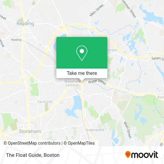
See The Float Guide, Wakefield, on the map
Public Transit to The Float Guide in Wakefield
Wondering how to get to The Float Guide in Wakefield? Moovit helps you find the best way to get to The Float Guide with step-by-step directions from the nearest public transit station.
Moovit provides free maps and live directions to help you navigate through your city. View schedules, routes, timetables, and find out how long does it take to get to The Float Guide in real time.
Looking for the nearest stop or station to The Float Guide? Check out this list of stops closest to your destination: Main St @ Richardson St; Wakefield.
Bus: 137, HAVERHILL LINE SHUTTLE, HAVERHILL LINE SHUTTLE, HAVERHILL LINE SHUTTLE, HAVERHILL LINE SHUTTLE, HAVERHILL LINE SHUTTLE.Train: HAVERHILL.
Want to see if there’s another route that gets you there at an earlier time? Moovit helps you find alternative routes or times. Get directions from and directions to The Float Guide easily from the Moovit App or Website.
We make riding to The Float Guide easy, which is why over 1.7 million users, including users in Wakefield, trust Moovit as the best app for public transit. You don’t need to download an individual bus app or train app, Moovit is your all-in-one transit app that helps you find the best bus time or train time available.
For information on prices of bus, train and subway, costs and ride fares to The Float Guide, please check the Moovit app.
Use the app to navigate to popular places including to the airport, hospital, stadium, grocery store, mall, coffee shop, school, college, and university.
Location: Wakefield, Boston
- Happy Dog! Dog Walks,
- Deanas Fund,
- Greg Digiorgio - Digiorgio Realty Group,
- Carpet & Rug Outlet,
- Waterfall Education,
- Syndala Life Coaching,
- Pierce Michael Attorney,
- Harmony Homecare,
- Best Funny Dog Videos,
- Designs by Amy,
- Winchester Remodeling Group,
- Shred Nations,
- Rockwell Investigations,
- Student Loan Counselors,
- Asm Associate,
- Philip Ciampa Salon,
- Luxury Homes Wakefield Ma,
- Guida Law Associates, PC,
- Direct Women's Health,
- FedEx
Places Near The Float Guide (Wakefield)
- Castle Island, Boston,
- Boston Convention & Exhibition Center, Boston,
- Seaport District, Boston,
- Prudential Center, Boston,
- Wilbur Theatre, Boston,
- Museum Of Science, Boston,
- Mgm Music Hall, Boston,
- Wang Theater, Boston,
- Faneuil Hall, Boston,
- Td Garden, Boston,
- Quincy Market, Boston,
- Massachusetts General Hospital, Boston,
- Boston Medical Center, Boston,
- North End, Boston,
- Leader Bank Pavilion (Leader Bank Pavillion), Boston,
- Cheers, Boston,
- Boston Children's Hospital, Boston,
- House Of Blues, Boston,
- Boston Common, Boston,
- Isabella Stewart Gardner Museum, Boston
How to get to popular places in Boston with public transit
Get around Wakefield by public transit!
Traveling around Wakefield has never been so easy. See step by step directions as you travel to any attraction, street or major public transit station. View bus and train schedules, arrival times, service alerts and detailed routes on a map, so you know exactly how to get to anywhere in Wakefield.
When traveling to any destination around Wakefield use Moovit's Live Directions with Get Off Notifications to know exactly where and how far to walk, how long to wait for your line, and how many stops are left. Moovit will alert you when it's time to get off — no need to constantly re-check whether yours is the next stop.
Wondering how to use public transit in Wakefield or how to pay for public transit in Wakefield? Moovit public transit app can help you navigate your way with public transit easily, and at minimum cost. It includes public transit fees, ticket prices, and costs. Looking for a map of Wakefield public transit lines? Moovit public transit app shows all public transit maps in Wakefield with all Bus, Train, Subway and Ferry routes and stops on an interactive map.
Boston has 4 transit type(s), including: Bus, Train, Subway and Ferry, operated by several transit agencies, including MBTA, Southeastern Regional Transit Authority, MetroWest Regional Transit Authority, Rhode Island Public Transit Authority, WRTA, Lowell Regional Transit Authority, Merrimack Valley Transit, Montachusett Regional Transit Authority, Cape Cod Regional Transit Authority, Brockton Area Transit Authority, Martha's Vineyard Transit Authority, the WAVE - Nantucket Regional Transit Authority, GATRA, Cape Ann Transportation Authority and Massport