How to get to The Gyro Spot by bus?
Click on the bus route to see step by step directions with maps, line arrival times and updated time schedules.
From Hyatt Place Medford, Medford
22 minFrom Highland Ave Somerville MA, Somerville
45 minFrom Saugus, MA, Saugus
64 minFrom Encore Boston Harbor, Everett
54 minFrom Winter Hill, Somerville
34 minFrom AC Hotel Boston Cambridge, Cambridge
78 minFrom Assembly Square, Somerville
45 minFrom Medford Square, Medford
23 minFrom Assembly Row, Somerville
41 minFrom Burlington Mall, Burlington
58 min
Bus stops near The Gyro Spot in Stoneham
Train stations near The Gyro Spot in Stoneham
What are the closest stations to The Gyro Spot?
The closest stations to The Gyro Spot are:
- Main St @ Hancock St is 542 yards away, 7 min walk.
- Winchester Center is 1520 yards away, 18 min walk.
- Montvale Ave @ I93 Ramp is 1963 yards away, 23 min walk.
- Reading is 3481 yards away, 41 min walk.
Which bus lines stop near The Gyro Spot?
These bus lines stop near The Gyro Spot: 132, 354.
What’s the nearest train station to The Gyro Spot in Stoneham?
The nearest train station to The Gyro Spot in Stoneham is Winchester Center. It’s a 18 min walk away.
What’s the nearest bus station to The Gyro Spot in Stoneham?
The nearest bus station to The Gyro Spot in Stoneham is Main St @ Hancock St. It’s a 7 min walk away.
What time is the first train to The Gyro Spot in Stoneham?
The HAVERHILL is the first train that goes to The Gyro Spot in Stoneham. It stops nearby at 5:18 AM.
What time is the last train to The Gyro Spot in Stoneham?
The LOWELL is the last train that goes to The Gyro Spot in Stoneham. It stops nearby at 12:15 AM.
What time is the first bus to The Gyro Spot in Stoneham?
The 132 is the first bus that goes to The Gyro Spot in Stoneham. It stops nearby at 5:41 AM.
What time is the last bus to The Gyro Spot in Stoneham?
The 132 is the last bus that goes to The Gyro Spot in Stoneham. It stops nearby at 11:30 PM.
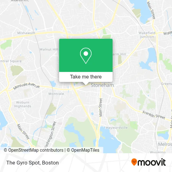
See The Gyro Spot, Stoneham, on the map
Public Transit to The Gyro Spot in Stoneham
Wondering how to get to The Gyro Spot in Stoneham? Moovit helps you find the best way to get to The Gyro Spot with step-by-step directions from the nearest public transit station.
Moovit provides free maps and live directions to help you navigate through your city. View schedules, routes, timetables, and find out how long does it take to get to The Gyro Spot in real time.
Looking for the nearest stop or station to The Gyro Spot? Check out this list of stops closest to your destination: Main St @ Hancock St; Winchester Center; Montvale Ave @ I93 Ramp; Reading.
Bus: 132, 354.Train: LOWELL, HAVERHILL.
Want to see if there’s another route that gets you there at an earlier time? Moovit helps you find alternative routes or times. Get directions from and directions to The Gyro Spot easily from the Moovit App or Website.
We make riding to The Gyro Spot easy, which is why over 1.7 million users, including users in Stoneham, trust Moovit as the best app for public transit. You don’t need to download an individual bus app or train app, Moovit is your all-in-one transit app that helps you find the best bus time or train time available.
For information on prices of bus and subway, costs and ride fares to The Gyro Spot, please check the Moovit app.
Use the app to navigate to popular places including to the airport, hospital, stadium, grocery store, mall, coffee shop, school, college, and university.
The Gyro Spot Address: 62 Montvale Ave street in Stoneham
- Henry Schein,
- Tufts Medical Center Community Care,
- Euro Food Hub, LLC,
- New Life International Christian Center,
- North East Airgun,
- Nafi,
- Uts of Massachusetts,
- Garage Door Opener Repair,
- Tint Fanatics,
- Bay State Iron Work,
- Excel Granite,
- Ultimate Cabinets,
- 200 Unicorn Park,
- Comfort Inn,
- Micheal Desano Electric,
- Massage by Joyce,
- Metro Pizza,
- Bacci's Restaurant,
- Stoneham Theatre,
- STARBUCKS
Places Near The Gyro Spot (Stoneham)
- Mgm Music Hall, Boston,
- Museum Of Science, Boston,
- Faneuil Hall, Boston,
- Massachusetts General Hospital, Boston,
- Boston Convention & Exhibition Center, Boston,
- Isabella Stewart Gardner Museum, Boston,
- Castle Island, Boston,
- Wilbur Theatre, Boston,
- Boston Common, Boston,
- House Of Blues, Boston,
- Boston Medical Center, Boston,
- Boston Children's Hospital, Boston,
- Cheers, Boston,
- Td Garden, Boston,
- Quincy Market, Boston,
- Wang Theater, Boston,
- Prudential Center, Boston,
- North End, Boston,
- Seaport District, Boston,
- Leader Bank Pavilion (Leader Bank Pavillion), Boston
How to get to popular places in Boston with public transit
Get around Stoneham by public transit!
Traveling around Stoneham has never been so easy. See step by step directions as you travel to any attraction, street or major public transit station. View bus and train schedules, arrival times, service alerts and detailed routes on a map, so you know exactly how to get to anywhere in Stoneham.
When traveling to any destination around Stoneham use Moovit's Live Directions with Get Off Notifications to know exactly where and how far to walk, how long to wait for your line, and how many stops are left. Moovit will alert you when it's time to get off — no need to constantly re-check whether yours is the next stop.
Wondering how to use public transit in Stoneham or how to pay for public transit in Stoneham? Moovit public transit app can help you navigate your way with public transit easily, and at minimum cost. It includes public transit fees, ticket prices, and costs. Looking for a map of Stoneham public transit lines? Moovit public transit app shows all public transit maps in Stoneham with all Bus, Train, Subway and Ferry routes and stops on an interactive map.
Boston has 4 transit type(s), including: Bus, Train, Subway and Ferry, operated by several transit agencies, including MBTA, Southeastern Regional Transit Authority, MetroWest Regional Transit Authority, Rhode Island Public Transit Authority, WRTA, Lowell Regional Transit Authority, Merrimack Valley Transit, Montachusett Regional Transit Authority, Cape Cod Regional Transit Authority, Brockton Area Transit Authority, Martha's Vineyard Transit Authority, the WAVE - Nantucket Regional Transit Authority, GATRA, Cape Ann Transportation Authority and Massport