Directions to The Hiccup Inc (Swampscott) with public transportation
The following transit lines have routes that pass near The Hiccup Inc
 Bus: 441, 442, 455.
- Train: NEWBURYPORT/ROCKPORT.
- Ferry: LYNN FERRY.
How to get to The Hiccup Inc by bus?
Click on the bus route to see step by step directions with maps, line arrival times and updated time schedules.
From Beverly, MA, Beverly
57 minFrom Kowloon Restaurant, Saugus
65 minFrom Holiday Inn Express-Saugus, Saugus
97 minFrom Comfort Inn & Suites Logan International Airport, Revere
43 minFrom Cummings Center - Beverly, Beverly
57 minFrom Revere, MA, Revere
49 minFrom Hampton Inn Boston Logan Airport, Revere
69 minFrom Walmart, Saugus
97 min
How to get to The Hiccup Inc by train?
Click on the train route to see step by step directions with maps, line arrival times and updated time schedules.
Bus stops near The Hiccup Inc in Swampscott
Ferry station near The Hiccup Inc in Swampscott
- Blossom Street Pier, 13 min walk,VIEW
Train station near The Hiccup Inc in Swampscott
- Swampscott, 54 min walk,VIEW
Bus lines to The Hiccup Inc in Swampscott
What are the closest stations to The Hiccup Inc?
The closest stations to The Hiccup Inc are:
- 50 Humphrey St is 225 yards away, 3 min walk.
- New Ocean St @ Burrill St is 474 yards away, 6 min walk.
- Blossom Street Pier is 1030 yards away, 13 min walk.
- Swampscott is 4604 yards away, 54 min walk.
Which bus lines stop near The Hiccup Inc?
These bus lines stop near The Hiccup Inc: 441, 442, 455.
Which train line stops near The Hiccup Inc?
NEWBURYPORT/ROCKPORT (#120 | North Station)
What’s the nearest bus station to The Hiccup Inc in Swampscott?
The nearest bus station to The Hiccup Inc in Swampscott is 50 Humphrey St. It’s a 3 min walk away.
What’s the nearest ferry station to The Hiccup Inc in Swampscott?
The nearest ferry station to The Hiccup Inc in Swampscott is Blossom Street Pier. It’s a 13 min walk away.
What time is the first train to The Hiccup Inc in Swampscott?
The NEWBURYPORT/ROCKPORT is the first train that goes to The Hiccup Inc in Swampscott. It stops nearby at 5:27 AM.
What time is the last train to The Hiccup Inc in Swampscott?
The NEWBURYPORT/ROCKPORT is the last train that goes to The Hiccup Inc in Swampscott. It stops nearby at 12:20 AM.
What time is the first bus to The Hiccup Inc in Swampscott?
The 442 is the first bus that goes to The Hiccup Inc in Swampscott. It stops nearby at 5:12 AM.
What time is the last bus to The Hiccup Inc in Swampscott?
The 442 is the last bus that goes to The Hiccup Inc in Swampscott. It stops nearby at 12:55 AM.
What time is the first ferry to The Hiccup Inc in Swampscott?
The LYNN FERRY is the first ferry that goes to The Hiccup Inc in Swampscott. It stops nearby at 6:00 AM.
What time is the last ferry to The Hiccup Inc in Swampscott?
The LYNN FERRY is the last ferry that goes to The Hiccup Inc in Swampscott. It stops nearby at 7:55 PM.
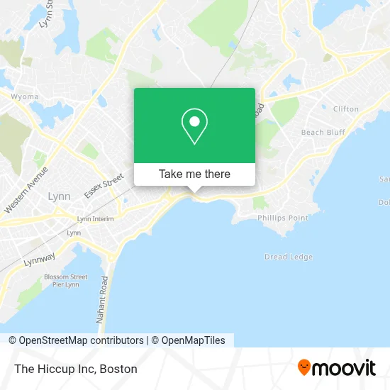
See The Hiccup Inc, Swampscott, on the map
Public Transit to The Hiccup Inc in Swampscott
Wondering how to get to The Hiccup Inc in Swampscott? Moovit helps you find the best way to get to The Hiccup Inc with step-by-step directions from the nearest public transit station.
Moovit provides free maps and live directions to help you navigate through your city. View schedules, routes, timetables, and find out how long does it take to get to The Hiccup Inc in real time.
Looking for the nearest stop or station to The Hiccup Inc? Check out this list of stops closest to your destination: 50 Humphrey St; New Ocean St @ Burrill St; Blossom Street Pier; Swampscott.
Bus: 441, 442, 455.Train: NEWBURYPORT/ROCKPORT.Ferry: LYNN FERRY.
Want to see if there’s another route that gets you there at an earlier time? Moovit helps you find alternative routes or times. Get directions from and directions to The Hiccup Inc easily from the Moovit App or Website.
We make riding to The Hiccup Inc easy, which is why over 1.7 million users, including users in Swampscott, trust Moovit as the best app for public transit. You don’t need to download an individual bus app or train app, Moovit is your all-in-one transit app that helps you find the best bus time or train time available.
For information on prices of bus, train and subway, costs and ride fares to The Hiccup Inc, please check the Moovit app.
Use the app to navigate to popular places including to the airport, hospital, stadium, grocery store, mall, coffee shop, school, college, and university.
The Hiccup Inc Address: 158 Humphrey St street in Swampscott
- Expert Digital Imaging, Inc.,
- 7 Day Emergency Locksmith,
- Boostberry Acai & Smoothies,
- Npoc Services,
- Blessedhandsspa,
- Navito Morel Barbershop,
- Firstlight Home Care,
- Aveda,
- Andrea Michele's Hair Color Studio,
- Stamina Spectrum,
- Navito Morel,
- Pomona Cafe And Wine Bar,
- New England Escape,
- Sudsy Sponge,
- Massachusetts Route 129,
- Military Friends Foundation,
- Spinale And Company Hair Design,
- Lynn & Nahant Beach,
- Flood Safe Habitats,
- Chien Elegant Salon
Places Near The Hiccup Inc (Swampscott)
- Massachusetts General Hospital, Boston,
- Leader Bank Pavilion (Leader Bank Pavillion), Boston,
- Td Garden, Boston,
- Seaport District, Boston,
- Boston Medical Center, Boston,
- House Of Blues, Boston,
- Museum Of Science, Boston,
- Mgm Music Hall, Boston,
- Wilbur Theatre, Boston,
- Boston Children's Hospital, Boston,
- Cheers, Boston,
- Prudential Center, Boston,
- Faneuil Hall, Boston,
- Isabella Stewart Gardner Museum, Boston,
- North End, Boston,
- Boston Convention & Exhibition Center, Boston,
- Castle Island, Boston,
- Boston Common, Boston,
- Wang Theater, Boston,
- Quincy Market, Boston
How to get to popular places in Boston with public transit
Get around Swampscott by public transit!
Traveling around Swampscott has never been so easy. See step by step directions as you travel to any attraction, street or major public transit station. View bus and train schedules, arrival times, service alerts and detailed routes on a map, so you know exactly how to get to anywhere in Swampscott.
When traveling to any destination around Swampscott use Moovit's Live Directions with Get Off Notifications to know exactly where and how far to walk, how long to wait for your line, and how many stops are left. Moovit will alert you when it's time to get off — no need to constantly re-check whether yours is the next stop.
Wondering how to use public transit in Swampscott or how to pay for public transit in Swampscott? Moovit public transit app can help you navigate your way with public transit easily, and at minimum cost. It includes public transit fees, ticket prices, and costs. Looking for a map of Swampscott public transit lines? Moovit public transit app shows all public transit maps in Swampscott with all Bus, Train, Subway and Ferry routes and stops on an interactive map.
Boston has 4 transit type(s), including: Bus, Train, Subway and Ferry, operated by several transit agencies, including MBTA, Southeastern Regional Transit Authority, MetroWest Regional Transit Authority, Rhode Island Public Transit Authority, WRTA, Lowell Regional Transit Authority, Merrimack Valley Transit, Montachusett Regional Transit Authority, Cape Cod Regional Transit Authority, Brockton Area Transit Authority, Martha's Vineyard Transit Authority, the WAVE - Nantucket Regional Transit Authority, GATRA, Cape Ann Transportation Authority and Massport