Directions to The Joint Chiropractic (Saugus) with public transportation
The following transit lines have routes that pass near The Joint Chiropractic
 Bus: 429.
How to get to The Joint Chiropractic by bus?
Click on the bus route to see step by step directions with maps, line arrival times and updated time schedules.
From GE Aviation, Lynn
52 minFrom Hampton Inn Boston Logan Airport, Revere
81 minFrom Malden Catholic High School, Malden
53 minFrom Hampton Inn Boston Logan Airport Chelsea, Chelsea
78 minFrom Hyatt Place Medford, Medford
67 minFrom Malden, MA, Malden
48 minFrom Melrose Wakefield Hospital, Malden
56 minFrom Massachusetts Water Resource Authority (MWRA), Chelsea
96 minFrom Costco, Everett
78 minFrom Winchester, MA, Winchester
120 min
Bus stop near The Joint Chiropractic in Saugus
- Walnut St @ Walnut Pl, 3 min walk,VIEW
Bus lines to The Joint Chiropractic in Saugus
- 429, Northgate Shopping Center,VIEW
What are the closest stations to The Joint Chiropractic?
The closest stations to The Joint Chiropractic are:
- Walnut St @ Walnut Pl is 202 yards away, 3 min walk.
Which bus line stops near The Joint Chiropractic?
429 (Northgate Shopping Center Via Square One Mall)
What’s the nearest bus station to The Joint Chiropractic in Saugus?
The nearest bus station to The Joint Chiropractic in Saugus is Walnut St @ Walnut Pl. It’s a 3 min walk away.
What time is the first bus to The Joint Chiropractic in Saugus?
The 429 is the first bus that goes to The Joint Chiropractic in Saugus. It stops nearby at 6:01 AM.
What time is the last bus to The Joint Chiropractic in Saugus?
The 429 is the last bus that goes to The Joint Chiropractic in Saugus. It stops nearby at 10:53 PM.
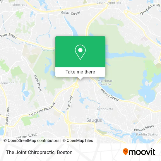
See The Joint Chiropractic, Saugus, on the map
Public Transit to The Joint Chiropractic in Saugus
Wondering how to get to The Joint Chiropractic in Saugus? Moovit helps you find the best way to get to The Joint Chiropractic with step-by-step directions from the nearest public transit station.
Moovit provides free maps and live directions to help you navigate through your city. View schedules, routes, timetables, and find out how long does it take to get to The Joint Chiropractic in real time.
Looking for the nearest stop or station to The Joint Chiropractic? Check out this list of stops closest to your destination: Walnut St @ Walnut Pl.
Bus: 429.
Want to see if there’s another route that gets you there at an earlier time? Moovit helps you find alternative routes or times. Get directions from and directions to The Joint Chiropractic easily from the Moovit App or Website.
We make riding to The Joint Chiropractic easy, which is why over 1.7 million users, including users in Saugus, trust Moovit as the best app for public transit. You don’t need to download an individual bus app or train app, Moovit is your all-in-one transit app that helps you find the best bus time or train time available.
For information on prices of bus, costs and ride fares to The Joint Chiropractic, please check the Moovit app.
Use the app to navigate to popular places including to the airport, hospital, stadium, grocery store, mall, coffee shop, school, college, and university.
The Joint Chiropractic Address: 358 Broadway street in Saugus
- Crumbl Cookies,
- Xfinity Store by Comcast Branded Partner,
- Tropical Smoothie Cafe,
- Giggles Comedy Club,
- Roller World,
- Libertyx Bitcoin ATM,
- AAA,
- AAA Saugus,
- Target,
- Target Store Saugus,
- US Marine Corps RSS North Boston,
- Elements Massage,
- ATM,
- Drains 911,
- Angelique's Fashion & Accessories,
- Kasabuski Memorial Arena Saugus MA,
- O'Brien & McKenney Property Improvement Services,
- Cataldo Ambulance Service-Walnut St,
- Kohl's,
- Christopher P. Dunne Visitor Center
Places Near The Joint Chiropractic (Saugus)
- House Of Blues, Boston,
- Leader Bank Pavilion (Leader Bank Pavillion), Boston,
- Boston Common, Boston,
- Boston Medical Center, Boston,
- North End, Boston,
- Seaport District, Boston,
- Quincy Market, Boston,
- Castle Island, Boston,
- Mgm Music Hall, Boston,
- Isabella Stewart Gardner Museum, Boston,
- Wilbur Theatre, Boston,
- Cheers, Boston,
- Faneuil Hall, Boston,
- Boston Children's Hospital, Boston,
- Boston Convention & Exhibition Center, Boston,
- Museum Of Science, Boston,
- Td Garden, Boston,
- Wang Theater, Boston,
- Prudential Center, Boston,
- Massachusetts General Hospital, Boston
How to get to popular places in Boston with public transit
Get around Saugus by public transit!
Traveling around Saugus has never been so easy. See step by step directions as you travel to any attraction, street or major public transit station. View bus and train schedules, arrival times, service alerts and detailed routes on a map, so you know exactly how to get to anywhere in Saugus.
When traveling to any destination around Saugus use Moovit's Live Directions with Get Off Notifications to know exactly where and how far to walk, how long to wait for your line, and how many stops are left. Moovit will alert you when it's time to get off — no need to constantly re-check whether yours is the next stop.
Wondering how to use public transit in Saugus or how to pay for public transit in Saugus? Moovit public transit app can help you navigate your way with public transit easily, and at minimum cost. It includes public transit fees, ticket prices, and costs. Looking for a map of Saugus public transit lines? Moovit public transit app shows all public transit maps in Saugus with all Bus, Train, Subway and Ferry routes and stops on an interactive map.
Boston has 4 transit type(s), including: Bus, Train, Subway and Ferry, operated by several transit agencies, including MBTA, Southeastern Regional Transit Authority, MetroWest Regional Transit Authority, Rhode Island Public Transit Authority, WRTA, Lowell Regional Transit Authority, Merrimack Valley Transit, Montachusett Regional Transit Authority, Cape Cod Regional Transit Authority, Brockton Area Transit Authority, Martha's Vineyard Transit Authority, the WAVE - Nantucket Regional Transit Authority, GATRA, Cape Ann Transportation Authority and Massport