How to get to The Nest @ Swan Point Way by bus?
Click on the bus route to see step by step directions with maps, line arrival times and updated time schedules.
From Elkridge, MD, Howard County
82 minFrom I-95 Exit 33 - Laurel/Burtonsville (Sandy Spring Rd/MD 198), Prince George's County
71 minFrom Arundel Mills, Anne Arundel County
89 minFrom Walmart, Baltimore County
81 minFrom Laurel, Maryland, Prince George's County
70 minFrom MD Live Casino Arundel Mills, Anne Arundel County
87 minFrom Maryland Live! Casino, Anne Arundel County
91 minFrom Guinness Open Gate Brewery & Barrel House, Baltimore County
145 minFrom NSA Friendship Annex (FANX), Anne Arundel County
130 min
Bus stops near The Nest @ Swan Point Way in Howard County
Bus lines to The Nest @ Swan Point Way in Howard County
What are the closest stations to The Nest @ Swan Point Way?
The closest stations to The Nest @ Swan Point Way are:
- Cradlerock Way / Swan Point Way is 242 yards away, 4 min walk.
- Owen Brown Village Center is 320 yards away, 5 min walk.
- Brokenland & Cradlerock S Nb is 1044 yards away, 13 min walk.
Which bus line stops near The Nest @ Swan Point Way?
503 (Towne Centre Laurel)
What’s the nearest bus station to The Nest @ Swan Point Way in Howard County?
The nearest bus station to The Nest @ Swan Point Way in Howard County is Cradlerock Way / Swan Point Way. It’s a 4 min walk away.
What time is the first bus to The Nest @ Swan Point Way in Howard County?
The 407 is the first bus that goes to The Nest @ Swan Point Way in Howard County. It stops nearby at 5:29 AM.
What time is the last bus to The Nest @ Swan Point Way in Howard County?
The 407 is the last bus that goes to The Nest @ Swan Point Way in Howard County. It stops nearby at 11:20 PM.
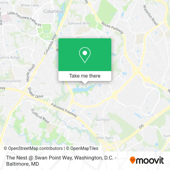
See The Nest @ Swan Point Way, Howard County, on the map
Public Transit to The Nest @ Swan Point Way in Howard County
Wondering how to get to The Nest @ Swan Point Way in Howard County? Moovit helps you find the best way to get to The Nest @ Swan Point Way with step-by-step directions from the nearest public transit station.
Moovit provides free maps and live directions to help you navigate through your city. View schedules, routes, timetables, and find out how long does it take to get to The Nest @ Swan Point Way in real time.
Looking for the nearest stop or station to The Nest @ Swan Point Way? Check out this list of stops closest to your destination: Cradlerock Way / Swan Point Way; Owen Brown Village Center; Brokenland & Cradlerock S Nb.
Bus: 503, 407, 305, 315.
Want to see if there’s another route that gets you there at an earlier time? Moovit helps you find alternative routes or times. Get directions from and directions to The Nest @ Swan Point Way easily from the Moovit App or Website.
We make riding to The Nest @ Swan Point Way easy, which is why over 1.5 million users, including users in Howard County, trust Moovit as the best app for public transit. You don’t need to download an individual bus app or train app, Moovit is your all-in-one transit app that helps you find the best bus time or train time available.
For information on prices of bus, costs and ride fares to The Nest @ Swan Point Way, please check the Moovit app.
Get to The Nest @ Swan Point Way with public transit and pay for the ride in the Moovit app. In addition to all info you may need for your trip to The Nest @ Swan Point Way, including live directions, real-time arrivals and fare prices, you can also buy public transit passes for your rides. No need for cash or paper tickets to get to The Nest @ Swan Point Way - everything you need is accessible in the app with a click of the button.
Use the app to navigate to popular places including to the airport, hospital, stadium, grocery store, mall, coffee shop, school, college, and university.
Location: Howard County, Washington, D.C. - Baltimore, MD
- Alexia Clifton,
- Fitness with Grace,
- Coinstar,
- Royal Tobacco,
- Owen Brown Village,
- Bitcoin ATM - Coinhub,
- Baltimoves,
- Narnia,
- Yoga Community Newsletter,
- Dollar Tree,
- Owen Brown Wine & Spirits,
- First National Bank ATM,
- Giant Pharmacy,
- Jerry's Subs & Pizza,
- Suncrust Pizza,
- WESTERN UNION,
- Owen Brown Tennis Club,
- GFS Realty,
- Auriga Internet Associates,
- Warren, Michelle
Places Near The Nest @ Swan Point Way (Howard County)
- Rock Creek Tennis Center, Washington,
- PG Mall, Prince George's County,
- Marriott Marquis Washington, DC, Washington,
- Amazon Hq2, Arlington County,
- Camden Yards, Baltimore,
- Capital One Arena, Washington,
- M&T Bank Stadium, Baltimore,
- Washington DC VA Medical Center, Washington,
- The Anthem, Washington,
- National Theatre, Washington,
- Museum Of The Bible, Washington,
- Basilica of the National Shrine, Washington,
- National Zoo, Washington,
- Pennsylvania Ave NW (3rd st and pennsylvania), Washington,
- Warner Theatre, Washington,
- Sibley Memorial Hospital, Washington,
- National Museum of African American History and Culture, Washington,
- Georgetown, Washington,
- Westfield Montgomery Mall, Montgomery County,
- Washington National Cathedral, Washington
How to get to popular places in Washington, D.C. - Baltimore, MD with public transit
Get around Howard County by public transit!
Traveling around Howard County has never been so easy. See step by step directions as you travel to any attraction, street or major public transit station. View bus and train schedules, arrival times, service alerts and detailed routes on a map, so you know exactly how to get to anywhere in Howard County.
When traveling to any destination around Howard County use Moovit's Live Directions with Get Off Notifications to know exactly where and how far to walk, how long to wait for your line, and how many stops are left. Moovit will alert you when it's time to get off — no need to constantly re-check whether yours is the next stop.
Wondering how to use public transit in Howard County or how to pay for public transit in Howard County? Moovit public transit app can help you navigate your way with public transit easily, and at minimum cost. It includes public transit fees, ticket prices, and costs. Looking for a map of Howard County public transit lines? Moovit public transit app shows all public transit maps in Howard County with all Bus, Train, Metro, Light Rail and Ferry routes and stops on an interactive map.
Washington, D.C. - Baltimore, MD has 5 transit type(s), including: Bus, Train, Metro, Light Rail and Ferry, operated by several transit agencies, including WMATA, Montgomery County Ride On, Fairfax Connector, TheBus, PRTC, DASH - Alexandria, Arlington Transit (ART), RTA of Central Maryland, MDOT MTA, MDOT MTA Light RailLink, MDOT MTA Commuter Bus, MDOT MTA Local Bus, FXBGO!, Virginia Railway Express (VRE) and MARC