Togliatti/Ciliegie stop - Monday schedule
| Line | Direction | Time |
|---|---|---|
| N543 | Vertunni | 3:12 AM |
| N543 | Vertunni | 3:12 AM |
| N5 | Togliatti/Palme | 3:17 AM |
| N5 | Togliatti/Palme | 3:17 AM |
| N5 | Togliatti/Palme | 3:36 AM |
| N5 | Togliatti/Palme | 3:36 AM |
| N543 | Vertunni | 3:52 AM |
| N543 | Vertunni | 3:52 AM |
| N5 | Togliatti/Palme | 3:54 AM |
| N5 | Togliatti/Palme | 3:54 AM |
| N5 | Togliatti/Palme | 4:12 AM |
| N5 | Togliatti/Palme | 4:12 AM |
| N543 | Vertunni | 4:27 AM |
| N543 | Vertunni | 4:27 AM |
| N5 | Togliatti/Palme | 4:30 AM |
| N5 | Togliatti/Palme | 4:30 AM |
| N5 | Togliatti/Palme | 4:48 AM |
| N5 | Togliatti/Palme | 4:48 AM |
| N543 | Vertunni | 5:02 AM |
| N543 | Vertunni | 5:02 AM |
| 450 | Monti Tiburtini/Pertini (H) | 5:03 AM |
| 556 | Anagnina Metro | 5:06 AM |
| N5 | Togliatti/Palme | 5:06 AM |
| N5 | Togliatti/Palme | 5:06 AM |
| 451 | Ponte Mammolo (Metro B) | 5:13 AM |
Directions to Togliatti/Ciliegie stop (Roma) with public transit
The following transit lines have routes that pass near Togliatti/Ciliegie
 Bus: 14NAV, 150F, 451, 543, 556.
- Train: FL2, R, R.
- Metro: C.
How to get to Togliatti/Ciliegie stop by bus?
Click on the bus route to see step by step directions with maps, line arrival times and updated time schedules.
How to get to Togliatti/Ciliegie stop by train?
Click on the train route to see step by step directions with maps, line arrival times and updated time schedules.
How to get to Togliatti/Ciliegie stop by metro?
Click on the metro route to see step by step directions with maps, line arrival times and updated time schedules.
Metro stations near Togliatti/Ciliegie station in Roma
- Myrtles, 1 min walk,
Bus stops near Togliatti/Ciliegie stop in Roma
- Togliatti/Acacie, 1 min walk,
- Togliatti/Molfetta, 4 min walk,
Train stations near Togliatti/Ciliegie station in Roma
- Palmiro Togliatti Street, 29 min walk,
Bus lines to Togliatti/Ciliegie stop in Roma
- N5, Piazza Venezia,
- 313, Longoni/Inps,
- 450, Monti Tiburtini/Pertini (H),
- 451, Ponte Mammolo (Metro B),
- N543, Vertunni,
- 556, Gardenie,
- 213, Cinecitta (Ma),
- 543, Vertunni/Salcito (FL2),
- 14NAV, Togliatti/Palme,
What are the closest stations to Togliatti/Ciliegie?
The closest stations to Togliatti/Ciliegie are:
- Myrtles station is 18 meters away, 1 min walk.
- Togliatti/Acacie stop is 49 meters away, 1 min walk.
- Togliatti/Molfetta stop is 254 meters away, 4 min walk.
- Palmiro Togliatti Street station is 2306 meters away, 29 min walk.
Which bus lines stop near Togliatti/Ciliegie?
These bus lines stop near Togliatti/Ciliegie: 14NAV, 150F, 451, 543, 556.
Which train line stops near Togliatti/Ciliegie?
FL2 (Tivoli)
Which metro line stops near Togliatti/Ciliegie?
C (Monte Compatri-Pantano)
What’s the nearest metro station to Togliatti/Ciliegie in Roma?
The nearest metro station to Togliatti/Ciliegie in Roma is Myrtles. It’s a 1 min walk away.
What’s the nearest train station to Togliatti/Ciliegie in Roma?
The nearest train station to Togliatti/Ciliegie in Roma is Palmiro Togliatti Street. It’s a 29 min walk away.
What’s the nearest bus station to Togliatti/Ciliegie in Roma?
The nearest bus station to Togliatti/Ciliegie in Roma is Togliatti/Acacie. It’s a 1 min walk away.
What time is the first metro to Togliatti/Ciliegie in Roma?
The C is the first metro that goes to Togliatti/Ciliegie in Roma. It stops nearby at 5:42 AM.
What time is the last metro to Togliatti/Ciliegie in Roma?
The C is the last metro that goes to Togliatti/Ciliegie in Roma. It stops nearby at 11:54 PM.
What time is the first train to Togliatti/Ciliegie in Roma?
The FL2 is the first train that goes to Togliatti/Ciliegie in Roma. It stops nearby at 6:37 AM.
What time is the last train to Togliatti/Ciliegie in Roma?
The FL2 is the last train that goes to Togliatti/Ciliegie in Roma. It stops nearby at 10:11 PM.
What time is the first bus to Togliatti/Ciliegie in Roma?
The N5 is the first bus that goes to Togliatti/Ciliegie in Roma. It stops nearby at 3:00 AM.
What time is the last bus to Togliatti/Ciliegie in Roma?
The N5 is the last bus that goes to Togliatti/Ciliegie in Roma. It stops nearby at 3:40 AM.
Togliatti/Ciliegie station
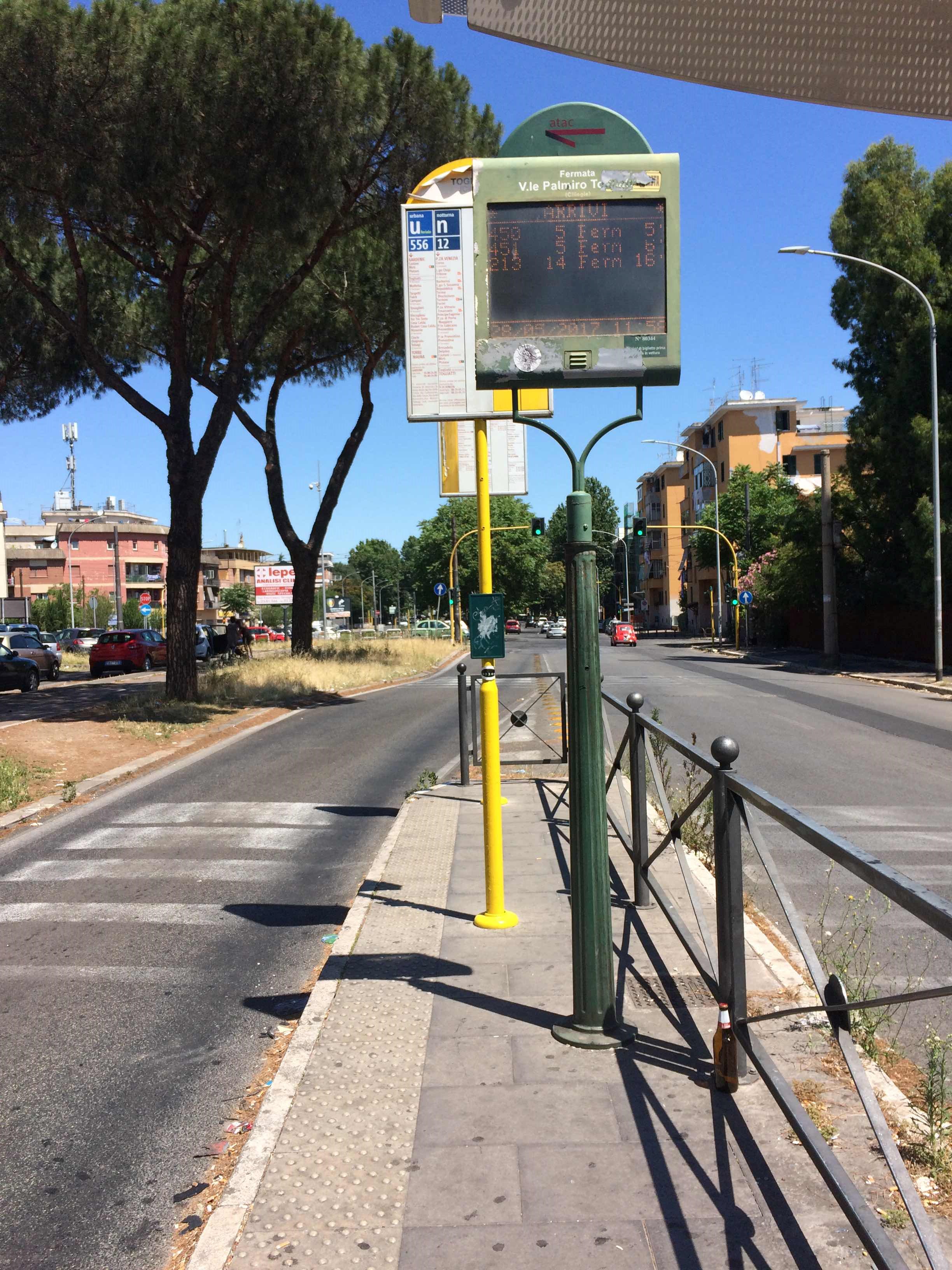 Taken by martina b.
See Togliatti/Ciliegie stop, Roma, on the map
Public transit to Togliatti/Ciliegie stop (ID: 80344) in Roma
Looking for directions to Togliatti/Ciliegie in Roma, Italy?
Download the Moovit App to find the current schedule and step-by-step directions for Bus, Metro or Train routes that pass through Togliatti/Ciliegie.
Looking for the nearest stops closest to Togliatti/Ciliegie ? Check out this list of closest stops to your destination: Myrtles; Togliatti/Acacie; Togliatti/Molfetta; Palmiro Togliatti Street.
Bus: 14NAV, 150F, 451, 543, 556, N5, 313, 450, N543.Train: FL2, R, R.Metro: C.
We make riding on public transit to Togliatti/Ciliegie easy, which is why over 1.7 billion users, including users in Roma trust Moovit as the best app for public transit.
Use the app to navigate to popular places including to the airport, hospital, stadium, grocery store, mall, coffee shop, school, college, and university.
Togliatti/Ciliegie stop’s code is 80344
The first line to this stop is N543, at 3:12 AM, and the last line is N5 at 2:57 AM.
This stop serves ATAC and Troiani Transportation Services’s lines
- Myrtles
Metro station near Togliatti/Ciliegie station
- Togliatti/Acacie,
- Togliatti/Molfetta
Bus stops near Togliatti/Ciliegie stop
- Palmiro Togliatti Street
Train station near Togliatti/Ciliegie station
- Castel Fusano Station Avenue,
- Cerveteri, Alessandro Manzoni Avenue 16,
- Portonaccio/Casal Bertone,
- Balsamo Crivelli,
- Sassofeltrio/Fidene Station (FL1),
- Manfredo/Fanti,
- Balsamo Crivelli,
- Jonio/Talenti,
- Anzio Colony,
- Arcinazzo | Highlands,
- Marconi/Radio Square,
- Riano,
- Itri,
- Monte Cucco,
- Portuense/La Loggia,
- Cerveteri | Arenile Waterfalls,
- Petrella Fiumata,
- Artena | Macere,
- Alberone,
- Gianicolo Passage/Villa Corsini
Popular public transit stations in Roma
Get around Roma by public transit!
Traveling around Roma has never been so easy. See step by step directions as you travel to any attraction, street or major public transit station. View bus and train schedules, arrival times, service alerts and detailed routes on a map, so you know exactly how to get to anywhere in Roma.
When traveling to any destination around Roma use Moovit's Live Directions with Get Off Notifications to know exactly where and how far to walk, how long to wait for your line, and how many stops are left. Moovit will alert you when it's time to get off — no need to constantly re-check whether yours is the next stop.
Wondering how to use public transit in Roma or how to pay for public transit in Roma? Moovit public transit app can help you navigate your way with public transit easily, and at minimum cost. It includes public transit fees, ticket prices, and costs. Looking for a map of Roma public transit lines? Moovit public transit app shows all public transit maps in Roma with all Bus, Train, Metro, Light Rail, Ferry, Funicular and Gondola routes and stops on an interactive map.
Rome and Lazio has 7 transit type(s), including: Bus, Train, Metro, Light Rail, Ferry, Funicular and Gondola, operated by several transit agencies, including ATAC, Cotral, Trenitalia, Troiani Transportation Services, BIS, ATR Mobility, Tuscia, Shuttle, Seatour, Troiani Bus Lines, CSC Mobility, Terravision, ATRAL, Tambus and Sitbus