Directions to Ups Access Point Location (North Las Vegas) with public transportation
The following transit lines have routes that pass near Ups Access Point Location
 Bus: 219.
How to get to Ups Access Point Location by bus?
Click on the bus route to see step by step directions with maps, line arrival times and updated time schedules.
From McDonalds, Las Vegas
58 minFrom Chapel of the Flowers, Las Vegas
56 minFrom S 1st St / E Bonneville Ave, Las Vegas
36 minFrom Santa Fe Station Hotel & Casino, Las Vegas
37 minFrom El Cortez Hotel & Casino, Las Vegas
40 minFrom Marlons Closet and Bookstore, Las Vegas
38 minFrom N Lamb Blvd / E Charleston Blvd, Las Vegas
58 minFrom Walmart Supercenter, North Las Vegas
45 minFrom John C Fremont Middle School, Las Vegas
53 minFrom Courtyard Homeless Resource Center, Las Vegas
40 min
Bus stop near Ups Access Point Location in North Las Vegas
- Wb Craig After 5th, 4 min walk,VIEW
Bus lines to Ups Access Point Location in North Las Vegas
- 219, 219 Craig Eastbound,VIEW
What are the closest stations to Ups Access Point Location?
The closest stations to Ups Access Point Location are:
- Wb Craig After 5th is 268 yards away, 4 min walk.
Which bus line stops near Ups Access Point Location?
219 (219 Craig Westbound)
What’s the nearest bus station to Ups Access Point Location in North Las Vegas?
The nearest bus station to Ups Access Point Location in North Las Vegas is Wb Craig After 5th. It’s a 4 min walk away.
What time is the first bus to Ups Access Point Location in North Las Vegas?
The 219 is the first bus that goes to Ups Access Point Location in North Las Vegas. It stops nearby at 4:29 AM.
What time is the last bus to Ups Access Point Location in North Las Vegas?
The 219 is the last bus that goes to Ups Access Point Location in North Las Vegas. It stops nearby at 1:30 AM.
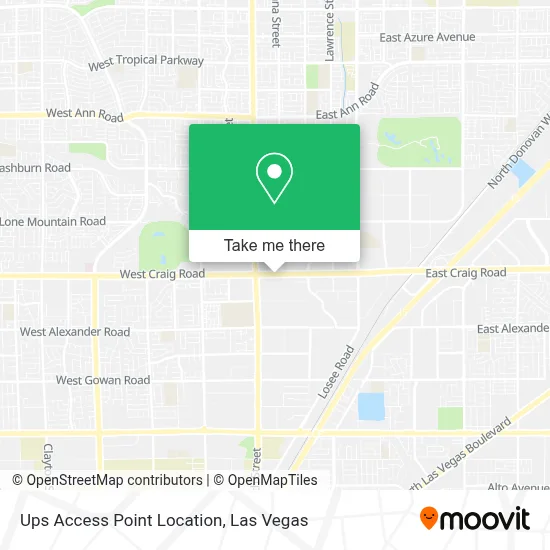
See Ups Access Point Location, North Las Vegas, on the map
Public Transit to Ups Access Point Location in North Las Vegas
Wondering how to get to Ups Access Point Location in North Las Vegas? Moovit helps you find the best way to get to Ups Access Point Location with step-by-step directions from the nearest public transit station.
Moovit provides free maps and live directions to help you navigate through your city. View schedules, routes, timetables, and find out how long does it take to get to Ups Access Point Location in real time.
Looking for the nearest stop or station to Ups Access Point Location? Check out this list of stops closest to your destination: Wb Craig After 5th.
Bus: 219.
Want to see if there’s another route that gets you there at an earlier time? Moovit helps you find alternative routes or times. Get directions from and directions to Ups Access Point Location easily from the Moovit App or Website.
We make riding to Ups Access Point Location easy, which is why over 1.7 million users, including users in North Las Vegas, trust Moovit as the best app for public transit. You don’t need to download an individual bus app or train app, Moovit is your all-in-one transit app that helps you find the best bus time or train time available.
For information on prices of bus, costs and ride fares to Ups Access Point Location, please check the Moovit app.
Use the app to navigate to popular places including to the airport, hospital, stadium, grocery store, mall, coffee shop, school, college, and university.
Ups Access Point Location Address: 725 E CRAIG Rd street in North Las Vegas
- E Craig Rd / Donna St,
- Olive Garden,
- N 5th St,
- Texas Roadhouse,
- Amazon Fulfillment Center-DLV2,
- Canyon Springs High School,
- Raising Cane's (Raising Canes Craig Road),
- Cannery Casino & Hotel,
- Cannery Hotel & Casino,
- W Craig Rd / N Commerce St,
- Wyko Tramms Salvador - Thrivent,
- Chevron,
- Terrible's,
- Western Union,
- Cheba Hut "Toasted" Subs,
- Ritab_Nails,
- Losee Rd / E Craig Rd,
- Sahara Resorts,
- 116,
- M and R Transport
Places Near Ups Access Point Location (North Las Vegas)
- Las Vegas South Premium Outlets, Enterprise,
- Welcome To Fabulous Las Vegas Sign, Paradise,
- Las Vegas Premium Outlets-North, Enterprise,
- The Neon Museum, Las Vegas,
- Town Square, Enterprise,
- Walmart Supercenter, Las Vegas,
- Lee Canyon, Las Vegas,
- Las Vegas North Premium Outlets, Las Vegas,
- Arte Museum Las Vegas, Paradise,
- Walmart, Las Vegas,
- Zak Bagans Haunted Museum, Las Vegas,
- Trump International Hotel Las Vegas, Paradise,
- The Palms Casino Resort, Paradise,
- Meow Wolf - Las Vegas (Meow Wolf's Omega Mart), Las Vegas,
- Allegiant Stadium, Paradise,
- Omega Mart, Las Vegas,
- The Deuce Bus Stop at Fremont St, Las Vegas,
- Gold & Silver Pawn Shop, Las Vegas,
- Area15, Las Vegas,
- Koolsville Tattoos, Las Vegas
How to get to popular places in Las Vegas with public transit
Get around North Las Vegas by public transit!
Traveling around North Las Vegas has never been so easy. See step by step directions as you travel to any attraction, street or major public transit station. View bus and train schedules, arrival times, service alerts and detailed routes on a map, so you know exactly how to get to anywhere in North Las Vegas.
When traveling to any destination around North Las Vegas use Moovit's Live Directions with Get Off Notifications to know exactly where and how far to walk, how long to wait for your line, and how many stops are left. Moovit will alert you when it's time to get off — no need to constantly re-check whether yours is the next stop.
Wondering how to use public transit in North Las Vegas or how to pay for public transit in North Las Vegas? Moovit public transit app can help you navigate your way with public transit easily, and at minimum cost. It includes public transit fees, ticket prices, and costs. Looking for a map of North Las Vegas public transit lines? Moovit public transit app shows all public transit maps in North Las Vegas with all Bus and Monorail routes and stops on an interactive map.
Las Vegas has 2 transit type(s), including: Bus and Monorail, operated by several transit agencies, including RTCSNV, City of Las Vegas, Alvand Transportation, Vegas Airporter, Las Vegas Monorail, FlixBus-us and Greyhound-us