How to get to Véronique Degardin by bus?
Click on the bus route to see step by step directions with maps, line arrival times and updated time schedules.
From Musée Militaire de la Targette, Neuville-Saint-Vaast
56 minFrom Fermiers de l'Artois, Gavrelle
56 minFrom Maxi Zoo France, Duisans
51 minFrom Auchan Drive Arras, Duisans
47 minFrom Monchy-Le-Preux, Monchy-Le-Preux
55 minFrom BP, Wancourt
79 minFrom Bray, Mont-Saint-Éloi
67 minFrom Basseux, Basseux
67 minFrom Letalle Florence, Gavrelle
54 minFrom Actiparc-Magna Park, Saint-Laurent-Blangy
56 min
Bus stops near Véronique Degardin in Beaurains
Bus lines to Véronique Degardin in Beaurains
What are the closest stations to Véronique Degardin?
The closest stations to Véronique Degardin are:
- Mairie De Beaurains is 75 meters away, 1 min walk.
- Vercors is 274 meters away, 4 min walk.
- R.Briquet Beaurains is 420 meters away, 6 min walk.
- Pierre Bolle is 707 meters away, 10 min walk.
- Carrefour 4 As is 784 meters away, 10 min walk.
Which bus line stops near Véronique Degardin?
L2 (Arras - Centre Commercial→Varlet)
What’s the nearest bus station to Véronique Degardin in Beaurains?
The nearest bus station to Véronique Degardin in Beaurains is Mairie De Beaurains. It’s a 1 min walk away.
What time is the first bus to Véronique Degardin in Beaurains?
The L7 is the first bus that goes to Véronique Degardin in Beaurains. It stops nearby at 6:15 AM.
What time is the last bus to Véronique Degardin in Beaurains?
The L4 is the last bus that goes to Véronique Degardin in Beaurains. It stops nearby at 8:52 PM.
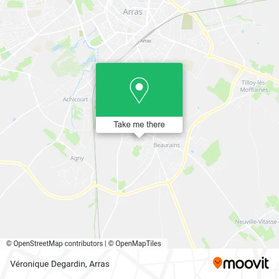
See Véronique Degardin, Beaurains, on the map
Public Transit to Véronique Degardin in Beaurains
Wondering how to get to Véronique Degardin in Beaurains? Moovit helps you find the best way to get to Véronique Degardin with step-by-step directions from the nearest public transit station.
Moovit provides free maps and live directions to help you navigate through your city. View schedules, routes, timetables, and find out how long does it take to get to Véronique Degardin in real time.
Looking for the nearest stop or station to Véronique Degardin? Check out this list of stops closest to your destination: Mairie De Beaurains; Vercors; R.Briquet Beaurains; Pierre Bolle; Carrefour 4 As.
Bus: L2, C7, C18, L7, LD2, L4, TAD8.
Want to see if there’s another route that gets you there at an earlier time? Moovit helps you find alternative routes or times. Get directions from and directions to Véronique Degardin easily from the Moovit App or Website.
We make riding to Véronique Degardin easy, which is why over 1.5 million users, including users in Beaurains, trust Moovit as the best app for public transit. You don’t need to download an individual bus app or train app, Moovit is your all-in-one transit app that helps you find the best bus time or train time available.
For information on prices of bus, costs and ride fares to Véronique Degardin, please check the Moovit app.
Use the app to navigate to popular places including to the airport, hospital, stadium, grocery store, mall, coffee shop, school, college, and university.
Véronique Degardin Address: 100 Place René Varlet 62217 Beaurains street in Beaurains
- Beaurains Kiné Balnéo,
- Agora Prêt à Porter,
- Batiment Les Aravis,
- Centre Multisports Jean Haniquaut,
- Hbélectricité,
- Centre Social Chico Mendes,
- Molin Lynda,
- Budget Shop,
- Bibliothèque Louise Michel,
- Autonomie Système,
- Centre Social Chico Mendès,
- CH'Gran Lardier,
- Les Éditions du Solange,
- Place Daniel Lambert,
- Western Union,
- Fédération Oeuvres Sociales des Ptt,
- College Adam de la Halle a Achicourt,
- La République,
- Indoor Motor Show,
- Scholz Pellets
Places Near Véronique Degardin (Beaurains)
- Grand'Place, Arras,
- Auchan Arras, Arras,
- Université D'Artois, Arras,
- Le Set Famous Club Roclincourt, Arras,
- Centre Hospitalier D'Arras, Arras,
- Lycée Professionnel Alain Savary, Arras,
- Artois-Expo, Saint-Laurent-Blangy,
- Citadelle D'Arras, Arras,
- Lfb Group Arras, Bailleul-Sir-Berthoult,
- Marché De Noël, Arras,
- Centre Commercial Auchan, Arras,
- Hôpital Privé Arras Les Bonnettes, Arras,
- Lycée Robespierre, Arras,
- Lycée Polyvalent Guy Mollet, Arras,
- Lycée Du Bâtiment Jacques Le Caron, Arras,
- Caf, Arras,
- lycée Baudimont St-Charles, Arras,
- Main Square Festival, Arras,
- Lycée Général Gambetta Carnot, Arras,
- Lycée Privé Baudimont Saint-Charles, Arras
How to get to popular places in Arras with public transit
Get around Beaurains by public transit!
Traveling around Beaurains has never been so easy. See step by step directions as you travel to any attraction, street or major public transit station. View bus and train schedules, arrival times, service alerts and detailed routes on a map, so you know exactly how to get to anywhere in Beaurains.
When traveling to any destination around Beaurains use Moovit's Live Directions with Get Off Notifications to know exactly where and how far to walk, how long to wait for your line, and how many stops are left. Moovit will alert you when it's time to get off — no need to constantly re-check whether yours is the next stop.
Wondering how to use public transit in Beaurains or how to pay for public transit in Beaurains? Moovit public transit app can help you navigate your way with public transit easily, and at minimum cost. It includes public transit fees, ticket prices, and costs. Looking for a map of Beaurains public transit lines? Moovit public transit app shows all public transit maps in Beaurains with all bus routes and stops on an interactive map.
Arras has 1 transit type(s), including: bus, operated by several transit agencies, including Artis