How to get to Version Lavable by bus?
Click on the bus route to see step by step directions with maps, line arrival times and updated time schedules.
From Collège Bollée, Mulsanne
67 minFrom Salle Edith Piaf, Mulsanne
67 minFrom Boulevard de Maule, Saint-Saturnin
54 minFrom Groupe Scolaire Saint-Joseph-La Salle, Allonnes
57 minFrom Pouic Cochon, Mulsanne
69 minFrom Darty, La Chapelle-Saint-Aubin
56 minFrom Optimhome Brochard Sophie Mandataire Indépendant, Mulsanne
72 minFrom C.I.A.M., Allonnes
67 minFrom Carrefour De Breil, Allonnes
47 min
Bus stops near Version Lavable in Le Mans
Light Rail stations near Version Lavable in Le Mans
- Leclerc-Fleurus, 14 min walk,VIEW
Bus lines to Version Lavable in Le Mans
- 5, Gazonfier,VIEW
- 15, Guetteloup,VIEW
- 12, Chanzy Bollee,VIEW
- 23, Chanzy Bollee,VIEW
- 25, Champagne,VIEW
- 25EX, La Baronniere,VIEW
- 4, St-Georges / St-Joseph – Bellevue-Hauts de C.,VIEW
- 7, Éperon par Auchan,VIEW
- 11, Le Cadran / St-Aubin - Closerie,VIEW
- 14, Parc Manceau - St-Martin,VIEW
- 16, Lafayette - Californie,VIEW
- 17, Gallière - Eperon,VIEW
- 20, Éperon - Aigné,VIEW
- T1, Antarès-Stade Marie Marvingt - Université,VIEW
- 6, St Martin,VIEW
What are the closest stations to Version Lavable?
The closest stations to Version Lavable are:
- Guillaume Apollinaire is 151 meters away, 3 min walk.
- Lambert is 474 meters away, 7 min walk.
- Béner is 486 meters away, 7 min walk.
- Lafayette is 494 meters away, 7 min walk.
- Leclerc-Fleurus is 1012 meters away, 14 min walk.
- Bollée is 1167 meters away, 15 min walk.
Which bus lines stop near Version Lavable?
These bus lines stop near Version Lavable: 15, 5.
What’s the nearest light rail station to Version Lavable in Le Mans?
The nearest light rail station to Version Lavable in Le Mans is Leclerc-Fleurus. It’s a 14 min walk away.
What’s the nearest bus station to Version Lavable in Le Mans?
The nearest bus station to Version Lavable in Le Mans is Guillaume Apollinaire. It’s a 3 min walk away.
What time is the first light rail to Version Lavable in Le Mans?
The T2 is the first light rail that goes to Version Lavable in Le Mans. It stops nearby at 5:10 AM.
What time is the last light rail to Version Lavable in Le Mans?
The T1 is the last light rail that goes to Version Lavable in Le Mans. It stops nearby at 1:12 AM.
What time is the first bus to Version Lavable in Le Mans?
The 25 is the first bus that goes to Version Lavable in Le Mans. It stops nearby at 5:31 AM.
What time is the last bus to Version Lavable in Le Mans?
The 5 is the last bus that goes to Version Lavable in Le Mans. It stops nearby at 11:59 PM.
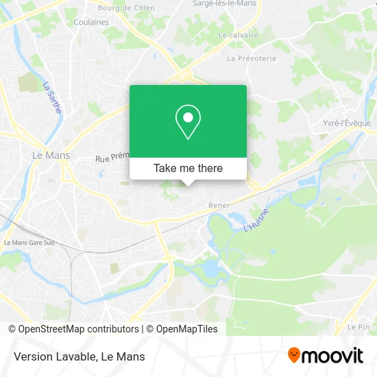
See Version Lavable, Le Mans, on the map
Public Transit to Version Lavable in Le Mans
Wondering how to get to Version Lavable in Le Mans? Moovit helps you find the best way to get to Version Lavable with step-by-step directions from the nearest public transit station.
Moovit provides free maps and live directions to help you navigate through your city. View schedules, routes, timetables, and find out how long does it take to get to Version Lavable in real time.
Looking for the nearest stop or station to Version Lavable? Check out this list of stops closest to your destination: Guillaume Apollinaire; Lambert; Béner; Lafayette; Leclerc-Fleurus; Bollée.
Bus: 15, 5, 12, 23, 25, 25EX, 4, 7, 11, 14, 16, 6.
Want to see if there’s another route that gets you there at an earlier time? Moovit helps you find alternative routes or times. Get directions from and directions to Version Lavable easily from the Moovit App or Website.
We make riding to Version Lavable easy, which is why over 1.5 million users, including users in Le Mans, trust Moovit as the best app for public transit. You don’t need to download an individual bus app or train app, Moovit is your all-in-one transit app that helps you find the best bus time or train time available.
For information on prices of bus and light rail, costs and ride fares to Version Lavable, please check the Moovit app.
Use the app to navigate to popular places including to the airport, hospital, stadium, grocery store, mall, coffee shop, school, college, and university.
Version Lavable Address: 76 Rue Paul Éluard 72000 Le Mans street in Le Mans
- Gazonfier,
- GÉMO,
- Rue Marcel Proust 34,
- Centre Commercial Gazonfier,
- Parc de Gazonfier,
- Vallée Saint-Blaise,
- Auberge de Bagatelle,
- Boulangerie Feuillette,
- Avenue Bollée 489,
- Sarl Mattalia,
- Alfa B,
- Aj Elec,
- Avenue Bollée 296,
- La Broderie,
- Houdayer Jean,
- Delta Technologies,
- Pariente Philippe,
- Claude Coutet,
- Rue de la Colline de Saint Blaise 2,
- Intermarché
Places Near Version Lavable (Le Mans)
- Circuit des 24 Heures du Mans, Le Mans,
- Université, Le Mans,
- Centre Hospitalier Du Mans, Le Mans,
- Hôpital, Le Mans,
- Clinique Pôle Santé Sud, Le Mans,
- Auchan le Mans, La Chapelle-Saint-Aubin,
- La Chapelle-Saint-Aubin, La Chapelle-Saint-Aubin,
- Gare SNCF du Mans, Le Mans,
- E.Leclerc, Le Mans,
- Place des Jacobins (le Mans), Le Mans,
- Camp du 2e RIMa, Champagné,
- Coulaines, Coulaines,
- Avenue Bollée, Le Mans,
- Saint-Saturnin, Saint-Saturnin,
- Clinique Du Pré, Le Mans,
- Parc Des Expositions, Le Mans,
- Maison D'Arrêt Le Mans - Les Croisettes, Coulaines,
- Family Village, Ruaudin,
- Pôle Santé Sud-Elsan, Le Mans,
- Changé, Changé
How to get to popular places in Le Mans with public transit
Get around Le Mans by public transit!
Traveling around Le Mans has never been so easy. See step by step directions as you travel to any attraction, street or major public transit station. View bus and train schedules, arrival times, service alerts and detailed routes on a map, so you know exactly how to get to anywhere in Le Mans.
When traveling to any destination around Le Mans use Moovit's Live Directions with Get Off Notifications to know exactly where and how far to walk, how long to wait for your line, and how many stops are left. Moovit will alert you when it's time to get off — no need to constantly re-check whether yours is the next stop.
Wondering how to use public transit in Le Mans or how to pay for public transit in Le Mans? Moovit public transit app can help you navigate your way with public transit easily, and at minimum cost. It includes public transit fees, ticket prices, and costs. Looking for a map of Le Mans public transit lines? Moovit public transit app shows all public transit maps in Le Mans with all Bus and Light Rail routes and stops on an interactive map.
Le Mans has 2 transit type(s), including: Bus and Light Rail, operated by several transit agencies, including SETRAM