Wabash / Mott stop - Friday schedule
| Line | Direction | Time |
|---|---|---|
| 74 | Garvey / Atlantic | 4:53 AM |
| 74 | Garvey / Atlantic | 5:22 AM |
| 74 | Garvey / Atlantic | 5:47 AM |
| 74 | Garvey / Atlantic | 6:07 AM |
| DASH | Dash / Boyle Heights / La County/Usc Medical Center | 6:12 AM |
| 74 | Garvey / Atlantic | 6:28 AM |
| DASH | Dash / Boyle Heights / La County/Usc Medical Center | 6:32 AM |
| 74 | Garvey / Atlantic | 6:48 AM |
| DASH | Dash / Boyle Heights / La County/Usc Medical Center | 6:52 AM |
| 74 | Garvey / Atlantic | 7:08 AM |
| DASH | Dash / Boyle Heights / La County/Usc Medical Center | 7:12 AM |
| 74 | Garvey / Atlantic | 7:28 AM |
| DASH | Dash / Boyle Heights / La County/Usc Medical Center | 7:32 AM |
| 74 | Garvey / Atlantic | 7:48 AM |
| DASH | Dash / Boyle Heights / La County/Usc Medical Center | 7:52 AM |
| 74 | Garvey / Atlantic | 8:08 AM |
| DASH | Dash / Boyle Heights / La County/Usc Medical Center | 8:12 AM |
| 74 | Garvey / Atlantic | 8:28 AM |
| DASH | Dash / Boyle Heights / La County/Usc Medical Center | 8:32 AM |
| 74 | Garvey / Atlantic | 8:48 AM |
| DASH | Dash / Boyle Heights / La County/Usc Medical Center | 8:52 AM |
| 74 | Garvey / Atlantic | 9:08 AM |
| DASH | Dash / Boyle Heights / La County/Usc Medical Center | 9:12 AM |
| 74 | Garvey / Atlantic | 9:28 AM |
| DASH | Dash / Boyle Heights / La County/Usc Medical Center | 9:32 AM |
Directions to Wabash / Mott stop (Boyle Heights) with public transit
The following transit lines have routes that pass near Wabash / Mott
 Bus: 251, 74, DASH, 605.
- Subway: E LINE.
- Train: AV LINE, OC LINE, RIV LINE, SB LINE, VC LINE.
How to get to Wabash / Mott stop by bus?
Click on the bus route to see step by step directions with maps, line arrival times and updated time schedules.
How to get to Wabash / Mott stop by subway?
Click on the subway route to see step by step directions with maps, line arrival times and updated time schedules.
Bus stops near Wabash / Mott stop in Boyle Heights
- Wabash / Mott, 1 min walk,
- Soto / Wabash, 6 min walk,
Subway stations near Wabash / Mott station in Boyle Heights
- Indiana Station, 25 min walk,
Train stations near Wabash / Mott station in Boyle Heights
- Union Station, 49 min walk,
Bus lines to Wabash / Mott stop in Boyle Heights
- DASH, (Northbound) Dash / Boyle Heights / East Los Angeles / to Whittier & Rowan,
- 74, The Shops at Montebello,
- 251, Eagle Rock Plaza,
- 605, Olympic - Grande Vista,
What are the closest stations to Wabash / Mott?
The closest stations to Wabash / Mott are:
- Wabash / Mott stop is 7 yards away, 1 min walk.
- Soto / Wabash stop is 424 yards away, 6 min walk.
- Indiana Station is 2088 yards away, 25 min walk.
- Union Station is 4202 yards away, 49 min walk.
Which bus lines stop near Wabash / Mott?
These bus lines stop near Wabash / Mott: 251, 74.
Which subway line stops near Wabash / Mott?
E LINE (Eastbound to East Los Angeles)
What’s the nearest subway station to Wabash / Mott in Boyle Heights?
The nearest subway station to Wabash / Mott in Boyle Heights is Indiana Station. It’s a 25 min walk away.
What’s the nearest bus station to Wabash / Mott in Boyle Heights?
The nearest bus station to Wabash / Mott in Boyle Heights is Wabash / Mott. It’s a 1 min walk away.
What time is the first subway to Wabash / Mott in Boyle Heights?
The A LINE is the first subway that goes to Wabash / Mott in Boyle Heights. It stops nearby at 3:53 AM.
What time is the last subway to Wabash / Mott in Boyle Heights?
The E LINE is the last subway that goes to Wabash / Mott in Boyle Heights. It stops nearby at 12:55 AM.
What time is the first train to Wabash / Mott in Boyle Heights?
The PACIFIC SURFLINER is the first train that goes to Wabash / Mott in Boyle Heights. It stops nearby at 5:13 AM.
What time is the last train to Wabash / Mott in Boyle Heights?
The SOUTHWEST CHIEF is the last train that goes to Wabash / Mott in Boyle Heights. It stops nearby at 8:12 AM.
What time is the first bus to Wabash / Mott in Boyle Heights?
The 251 is the first bus that goes to Wabash / Mott in Boyle Heights. It stops nearby at 3:30 AM.
What time is the last bus to Wabash / Mott in Boyle Heights?
The 251 is the last bus that goes to Wabash / Mott in Boyle Heights. It stops nearby at 3:31 AM.
Wabash / Mott station
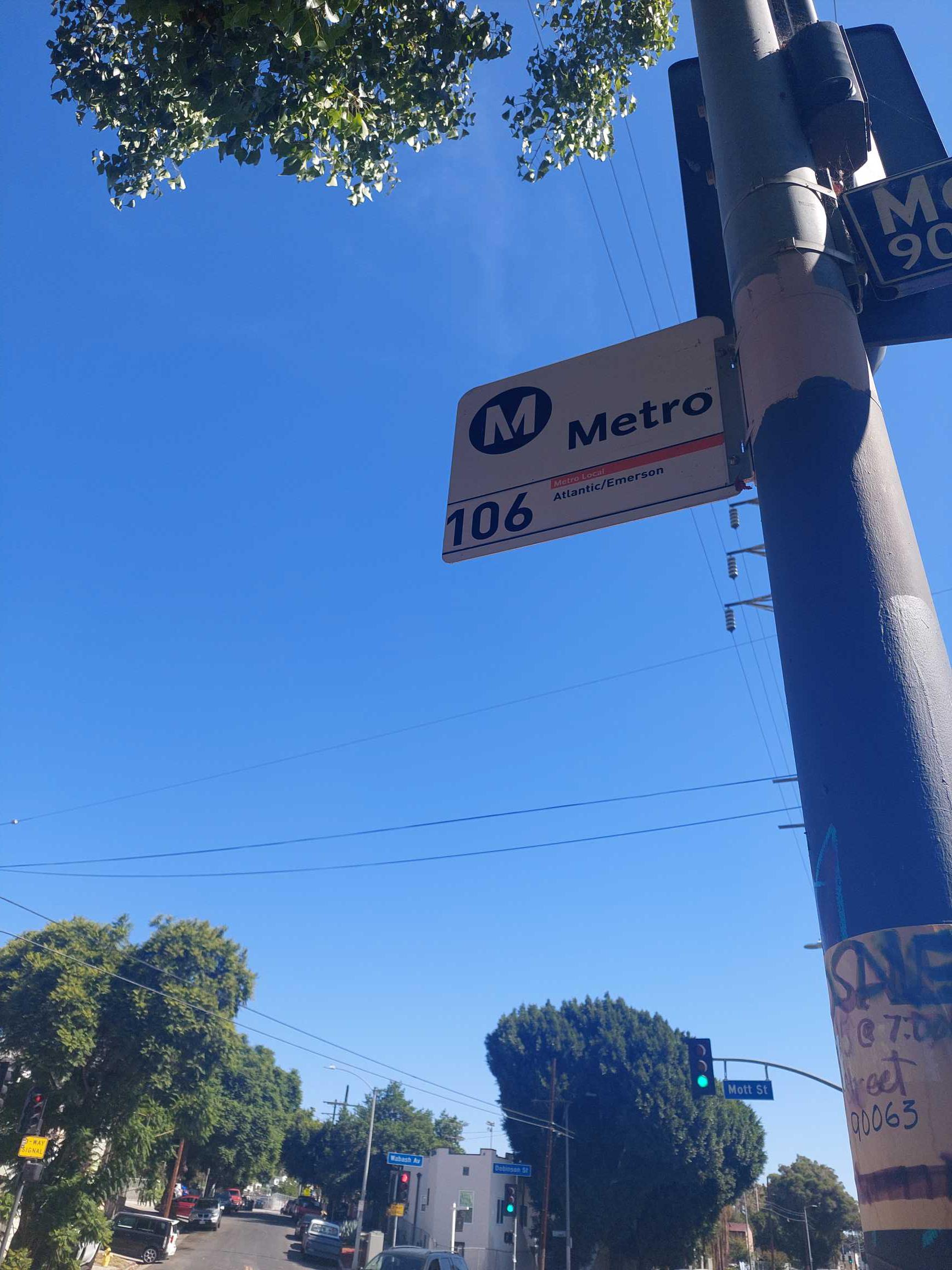 Taken by Anonymous
See Wabash / Mott stop, Boyle Heights, on the map
Public transit to Wabash / Mott stop (ID: 8219) in Boyle Heights
Looking for directions to Wabash / Mott in Boyle Heights, United States?
Download the Moovit App to find the current schedule and step-by-step directions for Bus or Subway routes that pass through Wabash / Mott.
Looking for the nearest stops closest to Wabash / Mott ? Check out this list of closest stops to your destination: Wabash / Mott; Soto / Wabash; Indiana Station; Union Station.
Bus: 251, 74, DASH, 605.Subway: E LINE.Train: AV LINE, OC LINE, RIV LINE, SB LINE, VC LINE.
We make riding on public transit to Wabash / Mott easy, which is why over 1.7 billion users, including users in Boyle Heights trust Moovit as the best app for public transit.
Use the app to navigate to popular places including to the airport, hospital, stadium, grocery store, mall, coffee shop, school, college, and university.
Wabash / Mott stop’s code is 8219
The first line to this stop is 74, at 4:53 AM, and the last line is 74 at 12:06 AM.
This stop serves LADOT and Metro’s lines
- Wabash / Mott,
- Soto / Wabash
Bus stops near Wabash / Mott stop
- Indiana Station
Subway station near Wabash / Mott station
- Union Station
Train station near Wabash / Mott station
- San Vicente Blvd & Bundy Dr,
- Glenoaks / Arroyo,
- Santa Clarita Metrolink,
- San Pedro / 23rd,
- Crescent Heights / Sunset,
- Pacific Coast Highway / Kanan Dume,
- Figueroa St & USC Mccarthy Way,
- Duarte / City of Hope,
- LAX Terminal 6 Lower Level Flyaway Stop,
- 5th / Spring,
- Carson St + Harbor-Ucla Medical Center,
- La Brea & Obama Blvd,
- Rosecrans / Garfield,
- Harbor-Warner,
- Woodley / Vanowen,
- Highland / Sunset,
- Vernon Station,
- Broadway / 12th,
- Parthenia St & Tampa Ave (Westbound),
- 3rd St & Bonnie Brae St (Eastbound)
Popular public transit stations in Boyle Heights
Get around Boyle Heights by public transit!
Traveling around Boyle Heights has never been so easy. See step by step directions as you travel to any attraction, street or major public transit station. View bus and train schedules, arrival times, service alerts and detailed routes on a map, so you know exactly how to get to anywhere in Boyle Heights.
When traveling to any destination around Boyle Heights use Moovit's Live Directions with Get Off Notifications to know exactly where and how far to walk, how long to wait for your line, and how many stops are left. Moovit will alert you when it's time to get off — no need to constantly re-check whether yours is the next stop.
Wondering how to use public transit in Boyle Heights or how to pay for public transit in Boyle Heights? Moovit public transit app can help you navigate your way with public transit easily, and at minimum cost. It includes public transit fees, ticket prices, and costs. Looking for a map of Boyle Heights public transit lines? Moovit public transit app shows all public transit maps in Boyle Heights with all Bus, Train, Subway, Ferry and Funicular routes and stops on an interactive map.
Los Angeles has 5 transit type(s), including: Bus, Train, Subway, Ferry and Funicular, operated by several transit agencies, including Metro, Metro Event Service, Alhambra Community Transit (ACT), Arcadia Transit, Artesia Transit, AVTA, Baldwin Park Transit, Beach Cities Transit, Beaumont Transit, Bell Gardens Town Trolley, Bellflower Bus, Big Blue Bus, Burbank Bus, Calabasas Trolley and Camarillo Area Transit