Directions to Wellesley Health Center with public transportation
The following transit lines have routes that pass near Wellesley Health Center
 Bus: 59, MBRS.
- Train: FRAMINGHAM/WORCESTER, NEEDHAM.
- Subway: GREEN LINE D.
How to get to Wellesley Health Center by bus?
Click on the bus route to see step by step directions with maps, line arrival times and updated time schedules.
From Boston Dynamics
110 minFrom Six Flags New England
47 minFrom Brookline High School (Brookline Town High School)
91 minFrom Arnold Arboretum
158 minFrom McLean Hospital
94 minFrom 1153 Centre Street
163 minFrom Alumni Stadium
93 minFrom Boston Landing Station
84 minFrom Belmont, MA
81 minFrom VA Hospital
117 min
How to get to Wellesley Health Center by train?
Click on the train route to see step by step directions with maps, line arrival times and updated time schedules.
How to get to Wellesley Health Center by subway?
Click on the subway route to see step by step directions with maps, line arrival times and updated time schedules.
Subway station near Wellesley Health Center
- Waban, 8 min walk,VIEW
Train station near Wellesley Health Center
- Wellesley Farms, 21 min walk,VIEW
What are the closest stations to Wellesley Health Center?
The closest stations to Wellesley Health Center are:
- Waban is 604 yards away, 8 min walk.
- Wellesley Farms is 1701 yards away, 21 min walk.
Which bus lines stop near Wellesley Health Center?
These bus lines stop near Wellesley Health Center: 59, MBRS.
Which train lines stop near Wellesley Health Center?
These train lines stop near Wellesley Health Center: FRAMINGHAM/WORCESTER, NEEDHAM.
Which subway line stops near Wellesley Health Center?
GREEN LINE D (Government Center)
What’s the nearest subway station to Wellesley Health Center?
The nearest subway station to Wellesley Health Center is Waban. It’s a 8 min walk away.
What’s the nearest train station to Wellesley Health Center?
The nearest train station to Wellesley Health Center is Wellesley Farms. It’s a 21 min walk away.
What time is the first subway to Wellesley Health Center?
The GREEN LINE D is the first subway that goes to Wellesley Health Center. It stops nearby at 4:45 AM.
What time is the last subway to Wellesley Health Center?
The GREEN LINE D is the last subway that goes to Wellesley Health Center. It stops nearby at 1:54 AM.
What time is the first train to Wellesley Health Center?
The FRAMINGHAM/WORCESTER is the first train that goes to Wellesley Health Center. It stops nearby at 5:09 AM.
What time is the last train to Wellesley Health Center?
The FRAMINGHAM/WORCESTER is the last train that goes to Wellesley Health Center. It stops nearby at 12:19 AM.
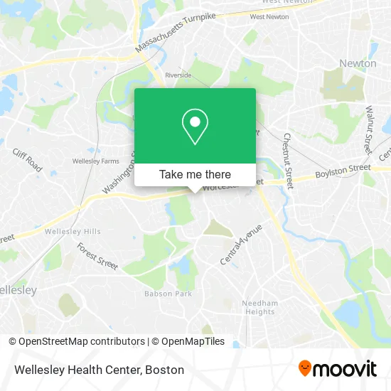
See Wellesley Health Center on the map
Public Transportation to Wellesley Health Center
Wondering how to get to Wellesley Health Center? Moovit helps you find the best way to get to Wellesley Health Center with step-by-step directions from the nearest public transit station.
Moovit provides free maps and live directions to help you navigate through your city. View schedules, routes, timetables, and find out how long does it take to get to Wellesley Health Center in real time.
Looking for the nearest stop or station to Wellesley Health Center? Check out this list of stops closest to your destination: Waban; Wellesley Farms.
Bus: 59, MBRS.Train: FRAMINGHAM/WORCESTER, NEEDHAM.Subway: GREEN LINE D.
Want to see if there’s another route that gets you there at an earlier time? Moovit helps you find alternative routes or times. Get directions from and directions to Wellesley Health Center easily from the Moovit App or Website.
We make riding to Wellesley Health Center easy, which is why over 1.5 million users, including users in Wellesley, trust Moovit as the best app for public transit. You don’t need to download an individual bus app or train app, Moovit is your all-in-one transit app that helps you find the best bus time or train time available.
For information on prices of bus, subway and train, costs and ride fares to Wellesley Health Center, please check the Moovit app.
Use the app to navigate to popular places including to the airport, hospital, stadium, grocery store, mall, coffee shop, school, college, and university.
Wellesley Health Center Address: 230 Worcester St Wellesley Hills, MA 02481 street in Wellesley
- Harvard Vanguard Medical Associates, Wellesley,
- Wellesley TOYOTA Scion,
- BBDC (Boston Breast Diagnostic Center),
- Crystal Paving and Masonry,
- Official Wellesley Public Sch,
- Tosti Crane Service,
- Sun Life Financial,
- Aetna,
- The Health Insurance Exchange Marketplace,
- Dental Benefits,
- Medicaid de Virginia,
- Cans for Charity,
- Goulding School of Irish Dance,
- American Tower,
- Legacy Coaching and Consulting,
- Paul David Epstein, DMD & Associates, PC,
- Jalbert Michelle Consultant,
- Eliot Triangle,
- Law Offices of Joseph P. McKenna Jr,
- Robert S Berman
Places Near Wellesley Health Center
- Wilbur Theatre, Boston,
- Leader Bank Pavilion (Leader Bank Pavillion), Boston,
- Wang Theater, Boston,
- Boston Common, Boston,
- Td Garden, Boston,
- North End, Boston,
- Quincy Market, Boston,
- Castle Island, Boston,
- Boston Children's Hospital, Boston,
- Mgm Music Hall, Boston,
- Isabella Stewart Gardner Museum, Boston,
- Boston Convention & Exhibition Center, Boston,
- Massachusetts General Hospital, Boston,
- Museum Of Science, Boston,
- Boston Medical Center, Boston,
- Prudential Center, Boston,
- Faneuil Hall, Boston,
- Seaport District, Boston,
- House Of Blues, Boston,
- Cheers, Boston
How to get to popular places in Boston with public transit
Get around Wellesley by public transit!
Traveling around Wellesley has never been so easy. See step by step directions as you travel to any attraction, street or major public transit station. View bus and train schedules, arrival times, service alerts and detailed routes on a map, so you know exactly how to get to anywhere in Wellesley.
When traveling to any destination around Wellesley use Moovit's Live Directions with Get Off Notifications to know exactly where and how far to walk, how long to wait for your line, and how many stops are left. Moovit will alert you when it's time to get off — no need to constantly re-check whether yours is the next stop.
Wondering how to use public transit in Wellesley or how to pay for public transit in Wellesley? Moovit public transit app can help you navigate your way with public transit easily, and at minimum cost. It includes public transit fees, ticket prices, and costs. Looking for a map of Wellesley public transit lines? Moovit public transit app shows all public transit maps in Wellesley with all Bus, Train, Subway and Ferry routes and stops on an interactive map.
Boston has 4 transit type(s), including: Bus, Train, Subway and Ferry, operated by several transit agencies, including MBTA, Southeastern Regional Transit Authority, MetroWest Regional Transit Authority, Rhode Island Public Transit Authority, WRTA, Lowell Regional Transit Authority, Merrimack Valley Transit, Montachusett Regional Transit Authority, Cape Cod Regional Transit Authority, Brockton Area Transit Authority, Martha's Vineyard Transit Authority, the WAVE - Nantucket Regional Transit Authority, GATRA, Cape Ann Transportation Authority and Massport