
10 Bus Route Map
View the 10 route map and see all 10 stops along the route. The map of 10 shows where the bus travels and the location of each stop, making it easy to understand the entire route at a glance.
Explore County Connection routes on the map and see where County Connection bus services operate. Use the 10 map to find bus stops and see how the 10 connects different areas along its trip.
All 10 stops on the map are displayed in route order, helping you follow the 10 bus from the first stop to the last.
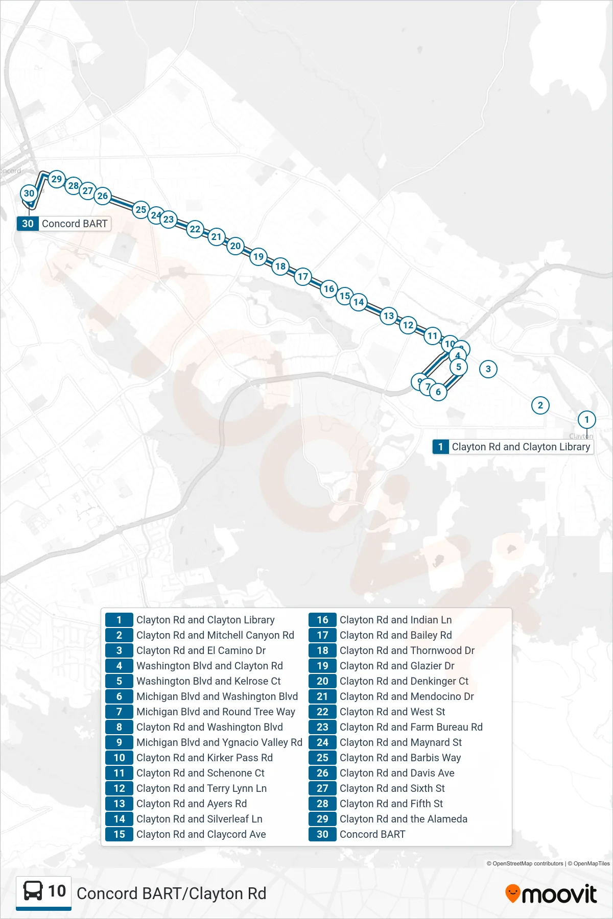
Stops list (10 - Concord BART)
- Clayton Rd and Clayton Library
- Clayton Rd and Mitchell Canyon Rd
- Clayton Rd and El Camino Dr
- Washington Blvd and Clayton Rd
- Washington Blvd and Kelrose Ct
- Michigan Blvd and Washington Blvd
- Michigan Blvd and Round Tree Way
- Clayton Rd and Washington Blvd
- Michigan Blvd and Ygnacio Valley Rd
- Clayton Rd and Kirker Pass Rd
- Clayton Rd and Schenone Ct
- Clayton Rd and Terry Lynn Ln
- Clayton Rd and Ayers Rd
- Clayton Rd and Silverleaf Ln
- Clayton Rd and Claycord Ave
- Clayton Rd and Indian Ln
- Clayton Rd and Bailey Rd
- Clayton Rd and Thornwood Dr
- Clayton Rd and Glazier Dr
- Clayton Rd and Denkinger Ct
- Clayton Rd and Mendocino Dr
- Clayton Rd and West St
- Clayton Rd and Farm Bureau Rd
- Clayton Rd and Maynard St
- Clayton Rd and Barbis Way
- Clayton Rd and Davis Ave
- Clayton Rd and Sixth St
- Clayton Rd and Fifth St
- Clayton Rd and the Alameda
- Concord BART