
109 Bus Route Map
View the 109 route map and see all 109 stops along the route. The map of 109 shows where the bus travels and the location of each stop, making it easy to understand the entire route at a glance.
Explore Livorno and Province - Tuscan Bus Lines routes on the map and see where Livorno and Province - Tuscan Bus Lines bus services operate. Use the 109 map to find bus stops and see how the 109 connects different areas along its trip.
All 109 stops on the map are displayed in route order, helping you follow the 109 bus from the first stop to the last.
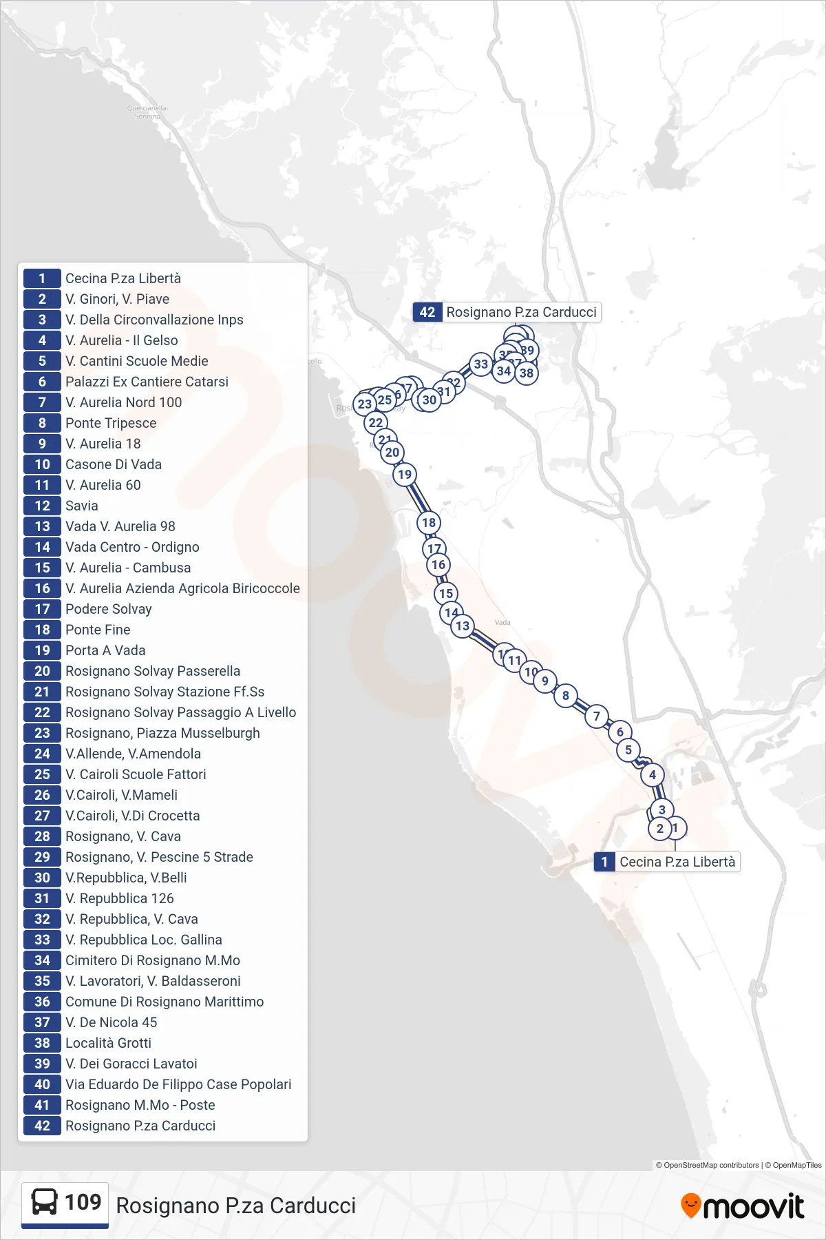
Stops list (109 - Rosignano Carducci Square)
- Cecina Piazza Libertà
- Via Ginori, Via Piave
- Circonvallazione INPS Street
- Via Aurelia - Il Gelso
- Via Cantini Middle School
- Palazzi Former Catarsi Shipyard
- Aurelia North 100
- Tripesce Bridge
- Aurelia Street 18
- Casone di Vada
- Aurelia Street 60
- Savia
- Vada Via Aurelia 98
- Vada Center - Ordigno
- Via Aurelia - Cambusa
- Via Aurelia Biricoccole Farm
- Solvay Estate
- Ponte Fine
- Porta A Vada
- Rosignano Solvay Footbridge
- Rosignano Solvay Railway Station
- Rosignano Solvay Level Crossing
- Rosignano, Musselburgh Square
- Allende Street, Amendola Street
- V. Cairoli Fattori Schools
- Cairoli Street, Mameli Street
- Cairoli Street, Crocetta Street
- Rosignano, Cava Street
- Rosignano, 5 Streets Pescine Road
- Repubblica St, Belli St
- Republic Street 126
- Republic Street, Cave Street
- Republic Street Gallina Area
- Rosignano Maritime Cemetery
- Workers Road, Baldasseroni Road
- Rosignano Marittimo Municipality
- V. De Nicola 45
- Grotti Area
- Goracci Street Washhouses
- Via Eduardo De Filippo Public Housing
- Rosignano Maritime - Post Office
- Rosignano Carducci Square