
14 Tram Route Map
View the 14 route map and see all 14 stops along the route. The map of 14 shows where the tram travels and the location of each stop, making it easy to understand the entire route at a glance.
Explore routes on the map and see where tram services operate. Use the 14 map to find tram stations and see how the 14 connects different areas along its trip.
All 14 stops on the map are displayed in route order, helping you follow the 14 tram from the first station to the last.
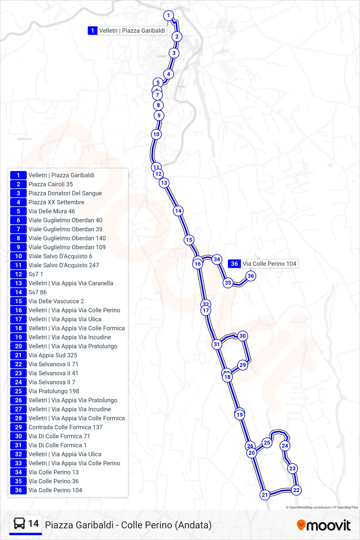
Stops list (14 - Piazza Garibaldi - Colle Perino (Outbound))
- Velletri | Garibaldi Square
- Cairoli Square 35
- Blood Donors Square
- XX Settembre Square
- Wall Street 46
- Viale Guglielmo Oberdan 40
- Viale Guglielmo Oberdan 39
- Viale Guglielmo Oberdan 140
- Guglielmo Oberdan Avenue 109
- Salvo D'Acquisto Avenue 6
- Salvo D'Acquisto Avenue 247
- Ss7 1
- Velletri | Via Appia Via Caranella
- State Road 7 86
- Vascucce Street 2
- Velletri | Via Appia Via Colle Perino
- Velletri | Appia Road Ulica Road
- Velletri | Appia Street Colle Formica Street
- Velletri | Via Appia Via Incudine
- Velletri | Appian Way Pratolungo Street
- Via Appia South 325
- Selvanova II Street 71
- Via Selvanova II 41
- Selvanova II Street 7
- Pratolungo Street 198
- Velletri | Appian Way Pratolungo Street
- Velletri | Via Appia Via Incudine
- Velletri | Appia Street Colle Formica Street
- Colle Formica District 137
- Colle Formica Street 71
- Colle Formica Street 1
- Velletri | Appia Road Ulica Road
- Velletri | Via Appia Via Colle Perino
- Colle Perino Street 13
- 36 Colle Perino Street
- Via Colle Perino 104