
2 Bus Route Map
View the 2 route map and see all 2 stops along the route. The map of 2 shows where the bus travels and the location of each stop, making it easy to understand the entire route at a glance.
Explore Transport Board routes on the map and see where Transport Board bus services operate. Use the 2 map to find bus stops and see how the 2 connects different areas along its trip.
All 2 stops on the map are displayed in route order, helping you follow the 2 bus from the first stop to the last.
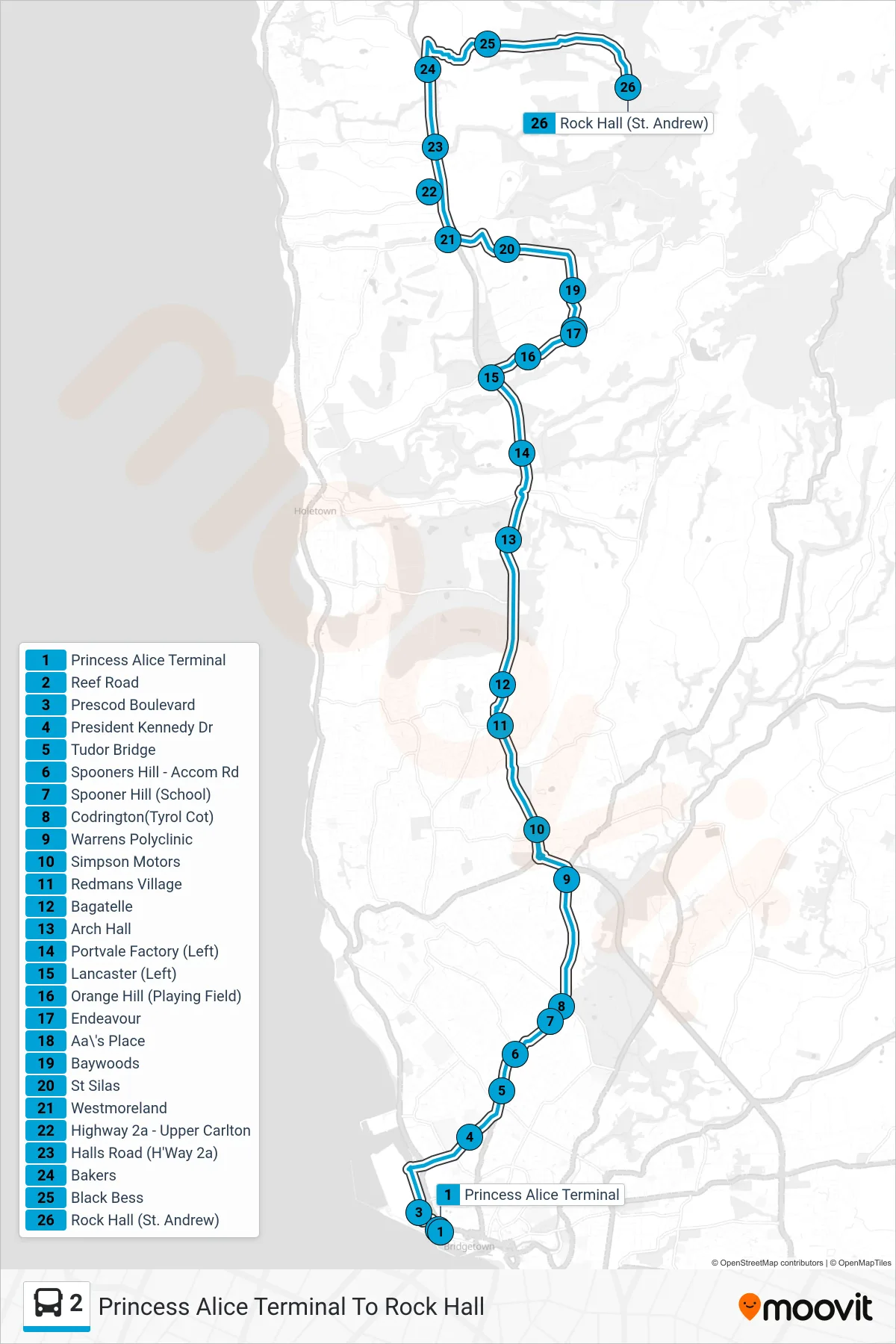
Stops list (2 - Princess Alice Terminal To Rock Hall)
- Princess Alice Terminal
- Reef Road
- Prescod Boulevard
- President Kennedy Dr
- Tudor Bridge
- Spooners Hill - Accom Rd
- Spooner Hill (School)
- Codrington(Tyrol Cot)
- Warrens Polyclinic
- Simpson Motors
- Redmans Village
- Bagatelle
- Arch Hall
- Portvale Factory (Left)
- Lancaster (Left)
- Orange Hill (Playing Field)
- Endeavour
- Aa\'s Place
- Baywoods
- St Silas
- Westmoreland
- Highway 2a - Upper Carlton
- Halls Road (H'Way 2a)
- Bakers
- Black Bess
- Rock Hall (St. Andrew)