
27X Bus Route Map
View the 27X route map and see all 27X stops along the route. The map of 27X shows where the bus travels and the location of each stop, making it easy to understand the entire route at a glance.
Explore Bus Átha Cliath – Dublin Bus routes on the map and see where Bus Átha Cliath – Dublin Bus bus services operate. Use the 27X map to find bus stops and see how the 27X connects different areas along its trip.
All 27X stops on the map are displayed in route order, helping you follow the 27X bus from the first stop to the last.
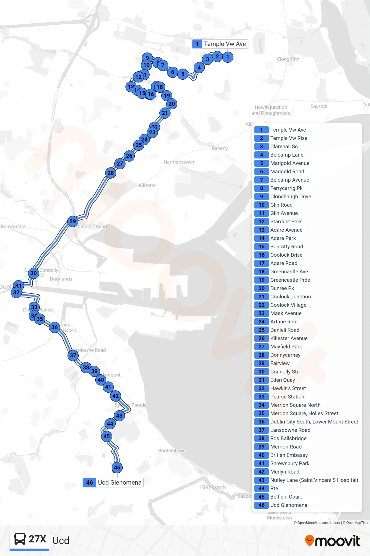
Stops list (27X - Ucd)
- Temple Vw Ave
- Temple Vw Rise
- Clarehall Sc
- Belcamp Lane
- Marigold Avenue
- Marigold Road
- Belcamp Avenue
- Ferrycarrig Pk
- Clonshaugh Drive
- Glin Road
- Glin Avenue
- Stardust Park
- Adare Avenue
- Adare Park
- Bunratty Road
- Coolock Drive
- Adare Road
- Greencastle Ave
- Greencastle Prde
- Dunree Pk
- Coolock Junction
- Coolock Village
- Mask Avenue
- Artane Rnbt
- Danieli Road
- Killester Avenue
- Mayfield Park
- Donnycarney
- Fairview
- Connolly Stn
- Eden Quay
- Hawkin's Street
- Pearse Station
- Merrion Square North
- Merrion Square, Holles Street
- Dublin City South, Lower Mount Street
- Lansdowne Road
- Rds Ballsbridge
- Merrion Road
- British Embassy
- Shrewsbury Park
- Merlyn Road
- Nutley Lane (Saint Vincent'S Hospital)
- Rte
- Belfield Court
- Ucd Glenomena