
29 Bus Route Map
View the 29 route map and see all 29 stops along the route. The map of 29 shows where the bus travels and the location of each stop, making it easy to understand the entire route at a glance.
Explore WRTA routes on the map and see where WRTA bus services operate. Use the 29 map to find bus stops and see how the 29 connects different areas along its trip.
All 29 stops on the map are displayed in route order, helping you follow the 29 bus from the first stop to the last.
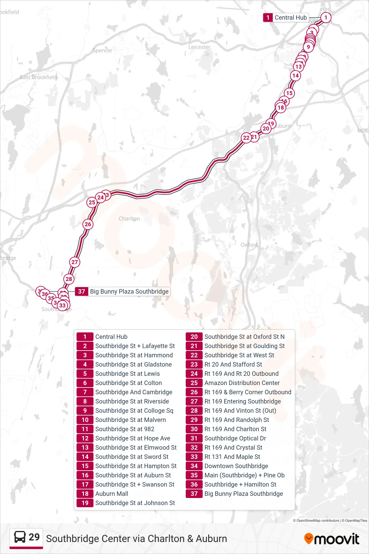
Stops list (29 - Central Hub→Big Bunny Plaza Southbridge)
- Central Hub
- Southbridge St + Lafayette St
- Southbridge St at Hammond
- Southbridge St at Gladstone
- Southbridge St at Lewis
- Southbridge St at Colton
- Southbridge And Cambridge
- Southbridge St at Riverside
- Southbridge St at Colloge Sq
- Southbridge St at Malvern
- Southbridge St at 982
- Southbridge St at Hope Ave
- Southbridge St at Elmwood St
- Southbridge St at Sword St
- Southbridge St at Hampton St
- Southbridge St at Auburn St
- Southbridge St + Swanson St
- Auburn Mall
- Southbridge St at Johnson St
- Southbridge St at Oxford St N
- Southbridge St at Goulding St
- Southbridge St at West St
- Rt 20 And Stafford St
- Rt 169 And Rt 20 Outbound
- Amazon Distribution Center
- Rt 169 & Berry Corner Outbound
- Rt 169 Entering Southbridge
- Rt 169 And Vinton St (Out)
- Rt 169 And Randolph St
- Rt 169 And Charlton St
- Southbridge Optical Dr
- Rt 169 And Crystal St
- Rt 131 And Maple St
- Downtown Southbridge
- Main (Southbridge) + Pine Ob
- Southbridge + Hamilton St
- Big Bunny Plaza Southbridge