
29 Bus Route Map
View the 29 route map and see all 29 stops along the route. The map of 29 shows where the bus travels and the location of each stop, making it easy to understand the entire route at a glance.
Explore WRTA routes on the map and see where WRTA bus services operate. Use the 29 map to find bus stops and see how the 29 connects different areas along its trip.
All 29 stops on the map are displayed in route order, helping you follow the 29 bus from the first stop to the last.
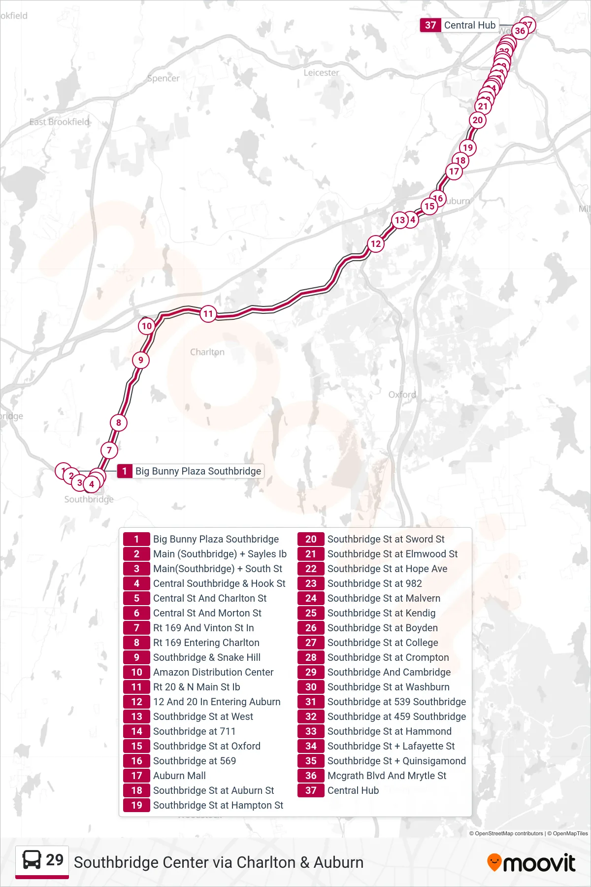
Stops list (29 - Big Bunny Plaza Southbridge→Central Hub)
- Big Bunny Plaza Southbridge
- Main (Southbridge) + Sayles Ib
- Main(Southbridge) + South St
- Central Southbridge & Hook St
- Central St And Charlton St
- Central St And Morton St
- Rt 169 And Vinton St In
- Rt 169 Entering Charlton
- Southbridge & Snake Hill
- Amazon Distribution Center
- Rt 20 & N Main St Ib
- 12 And 20 In Entering Auburn
- Southbridge St at West
- Southbridge at 711
- Southbridge St at Oxford
- Southbridge at 569
- Auburn Mall
- Southbridge St at Auburn St
- Southbridge St at Hampton St
- Southbridge St at Sword St
- Southbridge St at Elmwood St
- Southbridge St at Hope Ave
- Southbridge St at 982
- Southbridge St at Malvern
- Southbridge St at Kendig
- Southbridge St at Boyden
- Southbridge St at College
- Southbridge St at Crompton
- Southbridge And Cambridge
- Southbridge St at Washburn
- Southbridge at 539 Southbridge
- Southbridge at 459 Southbridge
- Southbridge St at Hammond
- Southbridge St + Lafayette St
- Southbridge St + Quinsigamond
- Mcgrath Blvd And Mrytle St
- Central Hub