
4 Bus Route Map
View the 4 route map and see all 4 stops along the route. The map of 4 shows where the bus travels and the location of each stop, making it easy to understand the entire route at a glance.
Explore Petersburg Area Transit routes on the map and see where Petersburg Area Transit bus services operate. Use the 4 map to find bus stops and see how the 4 connects different areas along its trip.
All 4 stops on the map are displayed in route order, helping you follow the 4 bus from the first stop to the last.
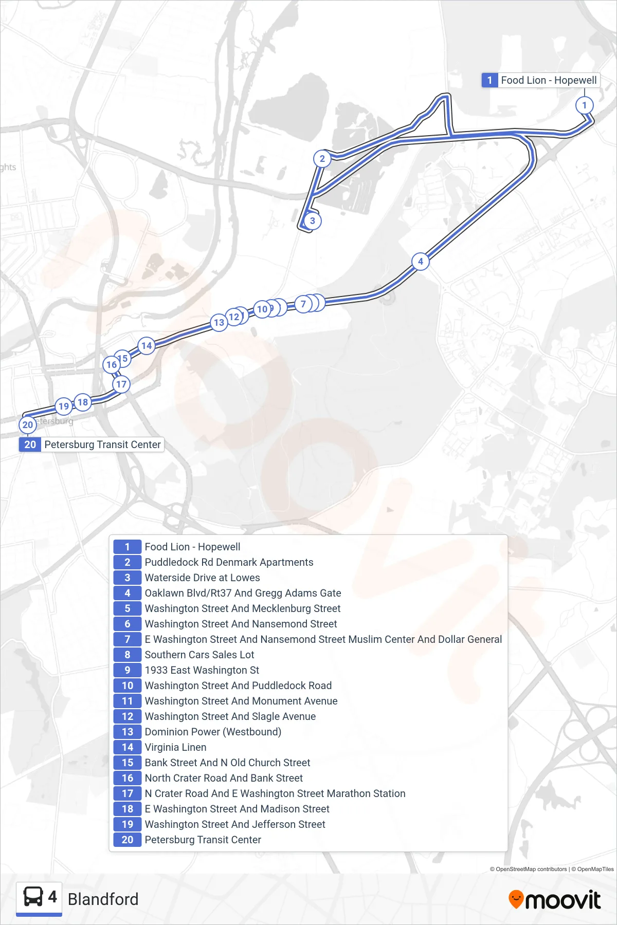
Stops list (4 - Petersburg Station)
- Food Lion - Hopewell
- Puddledock Rd Denmark Apartments
- Waterside Drive at Lowes
- Oaklawn Blvd/Rt37 And Gregg Adams Gate
- Washington Street And Mecklenburg Street
- Washington Street And Nansemond Street
- E Washington Street And Nansemond Street Muslim Center And Dollar General
- Southern Cars Sales Lot
- 1933 East Washington St
- Washington Street And Puddledock Road
- Washington Street And Monument Avenue
- Washington Street And Slagle Avenue
- Dominion Power (Westbound)
- Virginia Linen
- Bank Street And N Old Church Street
- North Crater Road And Bank Street
- N Crater Road And E Washington Street Marathon Station
- E Washington Street And Madison Street
- Washington Street And Jefferson Street
- Petersburg Transit Center