
40F Bus Route Map
View the 40F route map and see all 40F stops along the route. The map of 40F shows where the bus travels and the location of each stop, making it easy to understand the entire route at a glance.
Explore Connect Douglas routes on the map and see where Connect Douglas bus services operate. Use the 40F map to find bus stops and see how the 40F connects different areas along its trip.
All 40F stops on the map are displayed in route order, helping you follow the 40F bus from the first stop to the last.
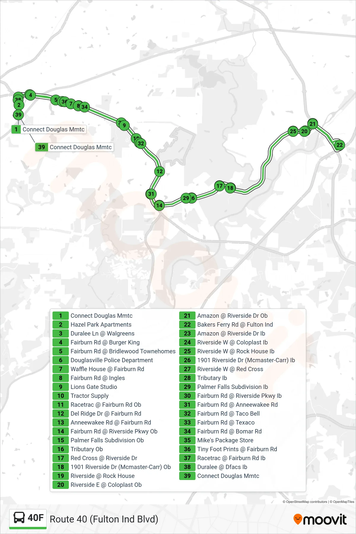
Stops list (40F - Connect Douglas Mmtc)
- Connect Douglas Mmtc
- Hazel Park Apartments
- Duralee Ln @ Walgreens
- Fairburn Rd @ Burger King
- Fairburn Rd @ Bridlewood Townehomes
- Douglasville Police Department
- Waffle House @ Fairburn Rd
- Fairburn Rd @ Ingles
- Lions Gate Studio
- Tractor Supply
- Racetrac @ Fairburn Rd Ob
- Del Ridge Dr @ Fairburn Rd
- Anneewakee Rd @ Fairburn Rd
- Fairburn Rd @ Riverside Pkwy Ob
- Palmer Falls Subdivision Ob
- Tributary Ob
- Red Cross @ Riverside Dr
- 1901 Riverside Dr (Mcmaster-Carr) Ob
- Riverside @ Rock House
- Riverside E @ Coloplast Ob
- Amazon @ Riverside Dr Ob
- Bakers Ferry Rd @ Fulton Ind
- Amazon @ Riverside Dr Ib
- Riverside W @ Coloplast Ib
- Riverside W @ Rock House Ib
- 1901 Riverside Dr (Mcmaster-Carr) Ib
- Riverside W @ Red Cross
- Tributary Ib
- Palmer Falls Subdivision Ib
- Fairburn Rd @ Riverside Pkwy Ib
- Fairburn Rd @ Anneewakee Rd
- Fairburn Rd @ Taco Bell
- Fairburn Rd @ Texaco
- Fairburn Rd @ Bomar Rd
- Mike's Package Store
- Tiny Foot Prints @ Fairburn Rd
- Racetrac @ Fairburn Rd Ib
- Duralee @ Dfacs Ib
- Connect Douglas Mmtc