
43 Bus Route Map
View the 43 route map and see all 43 stops along the route. The map of 43 shows where the bus travels and the location of each stop, making it easy to understand the entire route at a glance.
Explore Bus Átha Cliath – Dublin Bus routes on the map and see where Bus Átha Cliath – Dublin Bus bus services operate. Use the 43 map to find bus stops and see how the 43 connects different areas along its trip.
All 43 stops on the map are displayed in route order, helping you follow the 43 bus from the first stop to the last.
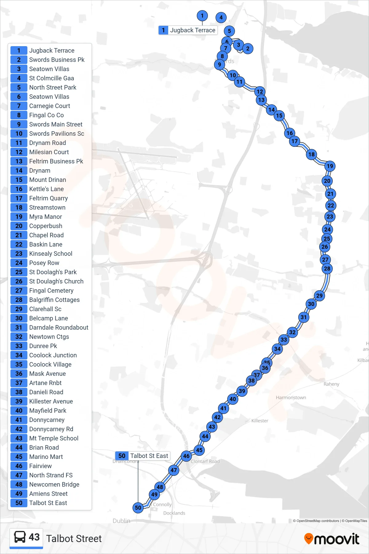
Stops list (43 - Talbot Street)
- Jugback Terrace
- Swords Business Pk
- Seatown Villas
- St Colmcille Gaa
- North Street Park
- Seatown Villas
- Carnegie Court
- Fingal Co Co
- Swords Main Street
- Swords Pavilions Sc
- Drynam Road
- Milesian Court
- Feltrim Business Pk
- Drynam
- Mount Drinan
- Kettle's Lane
- Feltrim Quarry
- Streamstown
- Myra Manor
- Copperbush
- Chapel Road
- Baskin Lane
- Kinsealy School
- Posey Row
- St Doolagh's Park
- St Doulagh's Church
- Fingal Cemetery
- Balgriffin Cottages
- Clarehall Sc
- Belcamp Lane
- Darndale Roundabout
- Newtown Ctgs
- Dunree Pk
- Coolock Junction
- Coolock Village
- Mask Avenue
- Artane Rnbt
- Danieli Road
- Killester Avenue
- Mayfield Park
- Donnycarney
- Donnycarney Rd
- Mt Temple School
- Brian Road
- Marino Mart
- Fairview
- North Strand FS
- Newcomen Bridge
- Amiens Street
- Talbot St East