
52 Bus Route Map
View the 52 route map and see all 52 stops along the route. The map of 52 shows where the bus travels and the location of each stop, making it easy to understand the entire route at a glance.
Explore MARTA routes on the map and see where MARTA bus services operate. Use the 52 map to find bus stops and see how the 52 connects different areas along its trip.
All 52 stops on the map are displayed in route order, helping you follow the 52 bus from the first stop to the last.
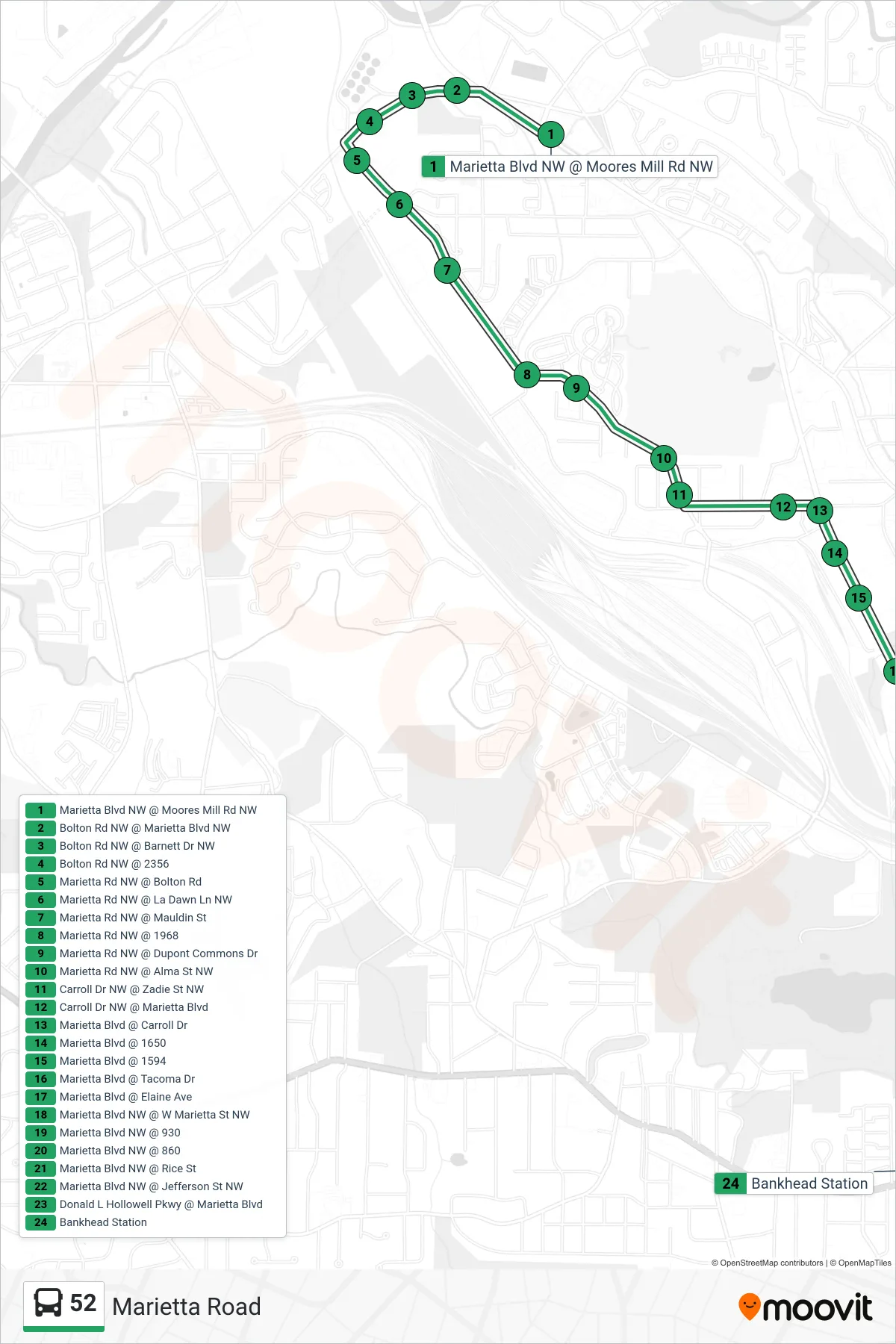
Stops list (52 - Bankhead Stn)
- Marietta Blvd NW @ Moores Mill Rd NW
- Bolton Rd NW @ Marietta Blvd NW
- Bolton Rd NW @ Barnett Dr NW
- Bolton Rd NW @ 2356
- Marietta Rd NW @ Bolton Rd
- Marietta Rd NW @ La Dawn Ln NW
- Marietta Rd NW @ Mauldin St
- Marietta Rd NW @ 1968
- Marietta Rd NW @ Dupont Commons Dr
- Marietta Rd NW @ Alma St NW
- Carroll Dr NW @ Zadie St NW
- Carroll Dr NW @ Marietta Blvd
- Marietta Blvd @ Carroll Dr
- Marietta Blvd @ 1650
- Marietta Blvd @ 1594
- Marietta Blvd @ Tacoma Dr
- Marietta Blvd @ Elaine Ave
- Marietta Blvd NW @ W Marietta St NW
- Marietta Blvd NW @ 930
- Marietta Blvd NW @ 860
- Marietta Blvd NW @ Rice St
- Marietta Blvd NW @ Jefferson St NW
- Donald L Hollowell Pkwy @ Marietta Blvd
- Bankhead Station