
69 Bus Route Map
View the 69 route map and see all 69 stops along the route. The map of 69 shows where the bus travels and the location of each stop, making it easy to understand the entire route at a glance.
Explore Bus Átha Cliath – Dublin Bus routes on the map and see where Bus Átha Cliath – Dublin Bus bus services operate. Use the 69 map to find bus stops and see how the 69 connects different areas along its trip.
All 69 stops on the map are displayed in route order, helping you follow the 69 bus from the first stop to the last.
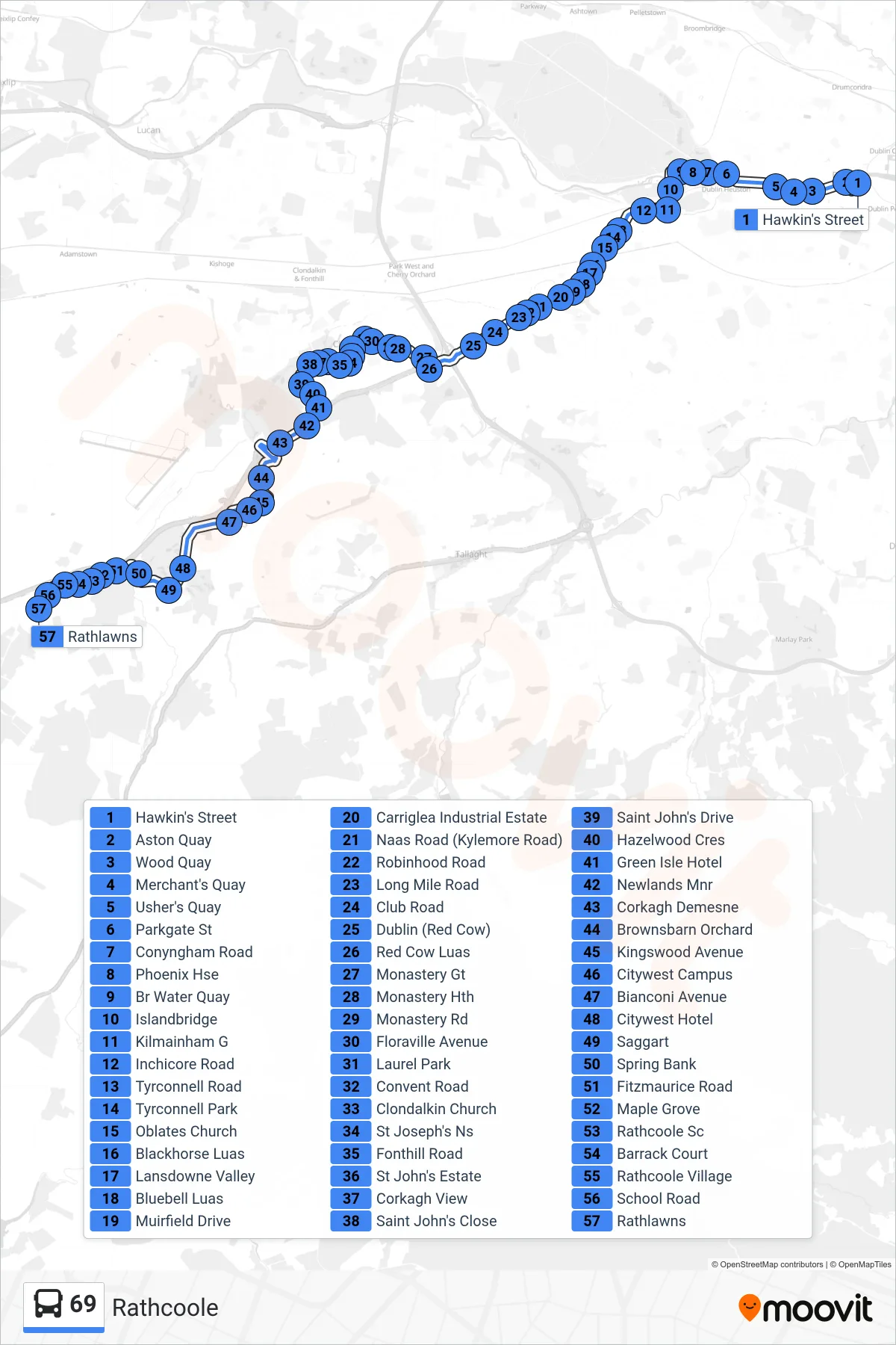
Stops list (69 - Rathcoole)
- Hawkin's Street
- Aston Quay
- Wood Quay
- Merchant's Quay
- Usher's Quay
- Parkgate St
- Conyngham Road
- Phoenix Hse
- Br Water Quay
- Islandbridge
- Kilmainham G
- Inchicore Road
- Tyrconnell Road
- Tyrconnell Park
- Oblates Church
- Blackhorse Luas
- Lansdowne Valley
- Bluebell Luas
- Muirfield Drive
- Carriglea Industrial Estate
- Naas Road (Kylemore Road)
- Robinhood Road
- Long Mile Road
- Club Road
- Dublin (Red Cow)
- Red Cow Luas
- Monastery Gt
- Monastery Hth
- Monastery Rd
- Floraville Avenue
- Laurel Park
- Convent Road
- Clondalkin Church
- St Joseph's Ns
- Fonthill Road
- St John's Estate
- Corkagh View
- Saint John's Close
- Saint John's Drive
- Hazelwood Cres
- Green Isle Hotel
- Newlands Mnr
- Corkagh Demesne
- Brownsbarn Orchard
- Kingswood Avenue
- Citywest Campus
- Bianconi Avenue
- Citywest Hotel
- Saggart
- Spring Bank
- Fitzmaurice Road
- Maple Grove
- Rathcoole Sc
- Barrack Court
- Rathcoole Village
- School Road
- Rathlawns