
E Bus Route Map
View the E route map and see all E stops along the route. The map of E shows where the bus travels and the location of each stop, making it easy to understand the entire route at a glance.
Explore RVS routes on the map and see where RVS bus services operate. Use the E map to find bus stops and see how the E connects different areas along its trip.
All E stops on the map are displayed in route order, helping you follow the E bus from the first stop to the last.
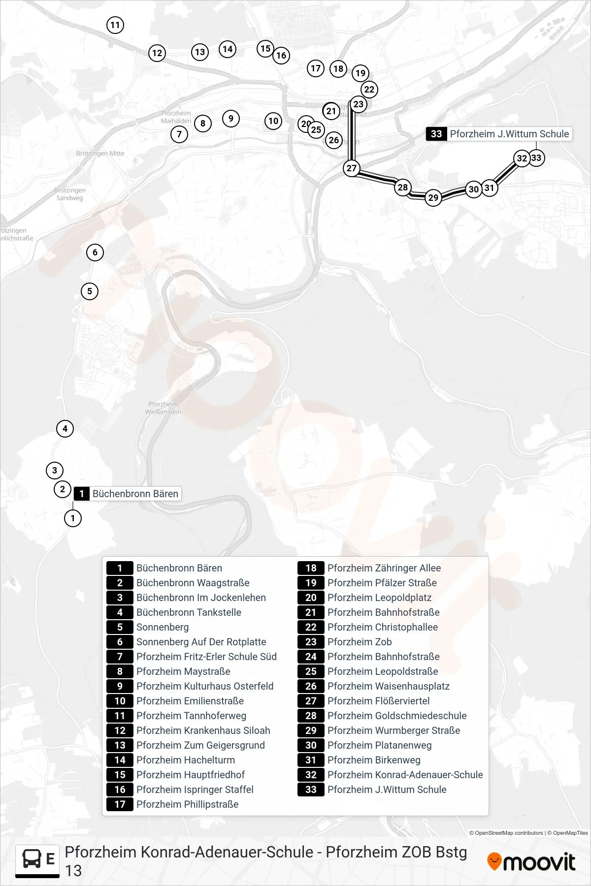
Stops list (E - Pforzheim J.Wittum Schule)
- Büchenbronn Bären
- Büchenbronn Waagstraße
- Büchenbronn Im Jockenlehen
- Büchenbronn Tankstelle
- Sonnenberg
- Sonnenberg Auf Der Rotplatte
- Pforzheim Fritz-Erler Schule Süd
- Pforzheim Maystraße
- Pforzheim Kulturhaus Osterfeld
- Pforzheim Emilienstraße
- Pforzheim Tannhoferweg
- Pforzheim Krankenhaus Siloah
- Pforzheim Zum Geigersgrund
- Pforzheim Hachelturm
- Pforzheim Hauptfriedhof
- Pforzheim Ispringer Staffel
- Pforzheim Phillipstraße
- Pforzheim Zähringer Allee
- Pforzheim Pfälzer Straße
- Pforzheim Leopoldplatz
- Pforzheim Bahnhofstraße
- Pforzheim Christophallee
- Pforzheim Zob
- Pforzheim Bahnhofstraße
- Pforzheim Leopoldstraße
- Pforzheim Waisenhausplatz
- Pforzheim Flößerviertel
- Pforzheim Goldschmiedeschule
- Pforzheim Wurmberger Straße
- Pforzheim Platanenweg
- Pforzheim Birkenweg
- Pforzheim Konrad-Adenauer-Schule
- Pforzheim J.Wittum Schule