
E10 Bus Route Map
View the E10 route map and see all E10 stops along the route. The map of E10 shows where the bus travels and the location of each stop, making it easy to understand the entire route at a glance.
Explore Stadtwerke Münster GmbH routes on the map and see where Stadtwerke Münster GmbH bus services operate. Use the E10 map to find bus stops and see how the E10 connects different areas along its trip.
All E10 stops on the map are displayed in route order, helping you follow the E10 bus from the first stop to the last.
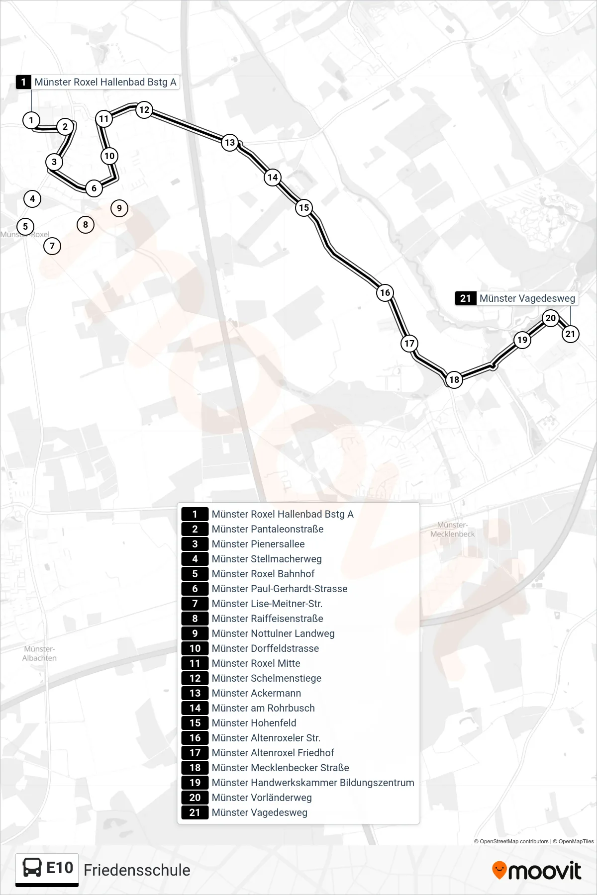
Stops list (E10 - Friedensschule)
- Münster Roxel Hallenbad Bstg A
- Münster Pantaleonstraße
- Münster Pienersallee
- Münster Stellmacherweg
- Münster Roxel Bahnhof
- Münster Paul-Gerhardt-Strasse
- Münster Lise-Meitner-Str.
- Münster Raiffeisenstraße
- Münster Nottulner Landweg
- Münster Dorffeldstrasse
- Münster Roxel Mitte
- Münster Schelmenstiege
- Münster Ackermann
- Münster am Rohrbusch
- Münster Hohenfeld
- Münster Altenroxeler Str.
- Münster Altenroxel Friedhof
- Münster Mecklenbecker Straße
- Münster Handwerkskammer Bildungszentrum
- Münster Vorländerweg
- Münster Vagedesweg