
E10 Bus Route Map
View the E10 route map and see all E10 stops along the route. The map of E10 shows where the bus travels and the location of each stop, making it easy to understand the entire route at a glance.
Explore Stadtwerke Münster GmbH routes on the map and see where Stadtwerke Münster GmbH bus services operate. Use the E10 map to find bus stops and see how the E10 connects different areas along its trip.
All E10 stops on the map are displayed in route order, helping you follow the E10 bus from the first stop to the last.
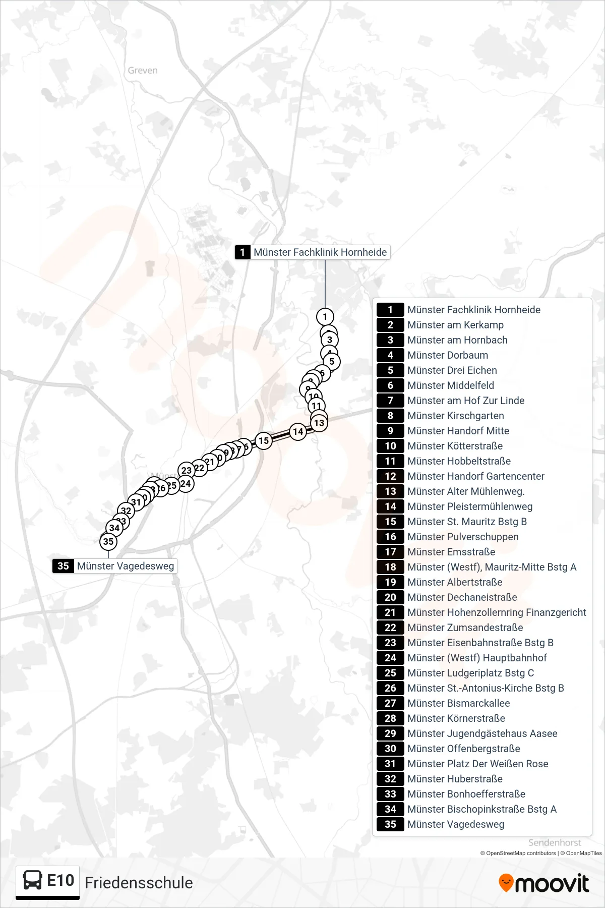
Stops list (E10 - Friedensschule)
- Münster Fachklinik Hornheide
- Münster am Kerkamp
- Münster am Hornbach
- Münster Dorbaum
- Münster Drei Eichen
- Münster Middelfeld
- Münster am Hof Zur Linde
- Münster Kirschgarten
- Münster Handorf Mitte
- Münster Kötterstraße
- Münster Hobbeltstraße
- Münster Handorf Gartencenter
- Münster Alter Mühlenweg.
- Münster Pleistermühlenweg
- Münster St. Mauritz Bstg B
- Münster Pulverschuppen
- Münster Emsstraße
- Münster (Westf), Mauritz-Mitte Bstg A
- Münster Albertstraße
- Münster Dechaneistraße
- Münster Hohenzollernring Finanzgericht
- Münster Zumsandestraße
- Münster Eisenbahnstraße Bstg B
- Münster (Westf) Hauptbahnhof
- Münster Ludgeriplatz Bstg C
- Münster St.-Antonius-Kirche Bstg B
- Münster Bismarckallee
- Münster Körnerstraße
- Münster Jugendgästehaus Aasee
- Münster Offenbergstraße
- Münster Platz Der Weißen Rose
- Münster Huberstraße
- Münster Bonhoefferstraße
- Münster Bischopinkstraße Bstg A
- Münster Vagedesweg