
L Bus Route Map
View the L route map and see all L stops along the route. The map of L shows where the bus travels and the location of each stop, making it easy to understand the entire route at a glance.
Explore AC Transit routes on the map and see where AC Transit bus services operate. Use the L map to find bus stops and see how the L connects different areas along its trip.
All L stops on the map are displayed in route order, helping you follow the L bus from the first stop to the last.
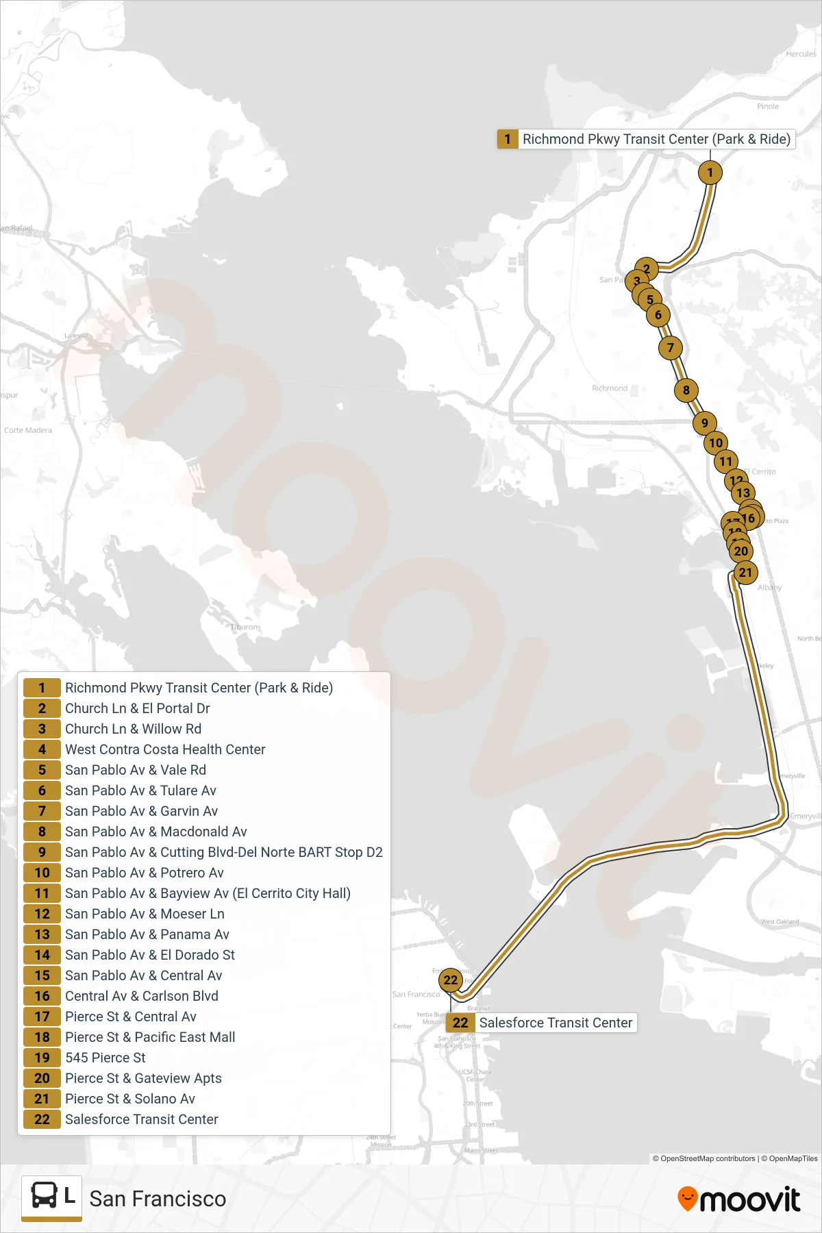
Stops list (L - San Francisco)
- Richmond Pkwy Transit Center (Park & Ride)
- Church Ln & El Portal Dr
- Church Ln & Willow Rd
- West Contra Costa Health Center
- San Pablo Av & Vale Rd
- San Pablo Av & Tulare Av
- San Pablo Av & Garvin Av
- San Pablo Av & Macdonald Av
- San Pablo Av & Cutting Blvd-Del Norte BART Stop D2
- San Pablo Av & Potrero Av
- San Pablo Av & Bayview Av (El Cerrito City Hall)
- San Pablo Av & Moeser Ln
- San Pablo Av & Panama Av
- San Pablo Av & El Dorado St
- San Pablo Av & Central Av
- Central Av & Carlson Blvd
- Pierce St & Central Av
- Pierce St & Pacific East Mall
- 545 Pierce St
- Pierce St & Gateview Apts
- Pierce St & Solano Av
- Salesforce Transit Center