
NE8 Bus Route Map
View the NE8 route map and see all NE8 stops along the route. The map of NE8 shows where the bus travels and the location of each stop, making it easy to understand the entire route at a glance.
Explore St. Werke Krefeld routes on the map and see where St. Werke Krefeld bus services operate. Use the NE8 map to find bus stops and see how the NE8 connects different areas along its trip.
All NE8 stops on the map are displayed in route order, helping you follow the NE8 bus from the first stop to the last.
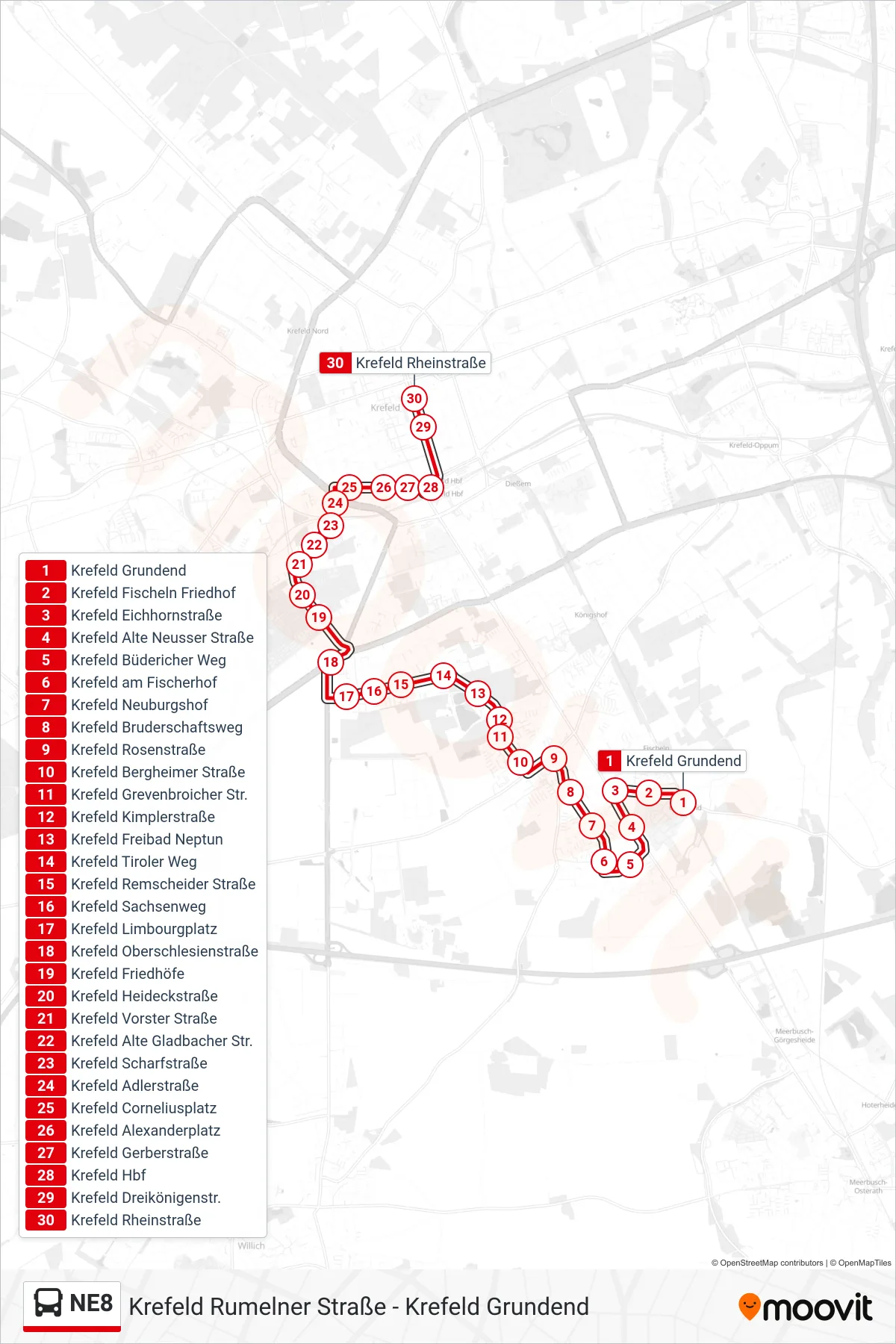
Stops list (NE8 - Krefeld Rheinstraße)
- Krefeld Grundend
- Krefeld Fischeln Friedhof
- Krefeld Eichhornstraße
- Krefeld Alte Neusser Straße
- Krefeld Büdericher Weg
- Krefeld am Fischerhof
- Krefeld Neuburgshof
- Krefeld Bruderschaftsweg
- Krefeld Rosenstraße
- Krefeld Bergheimer Straße
- Krefeld Grevenbroicher Str.
- Krefeld Kimplerstraße
- Krefeld Freibad Neptun
- Krefeld Tiroler Weg
- Krefeld Remscheider Straße
- Krefeld Sachsenweg
- Krefeld Limbourgplatz
- Krefeld Oberschlesienstraße
- Krefeld Friedhöfe
- Krefeld Heideckstraße
- Krefeld Vorster Straße
- Krefeld Alte Gladbacher Str.
- Krefeld Scharfstraße
- Krefeld Adlerstraße
- Krefeld Corneliusplatz
- Krefeld Alexanderplatz
- Krefeld Gerberstraße
- Krefeld Hbf
- Krefeld Dreikönigenstr.
- Krefeld Rheinstraße