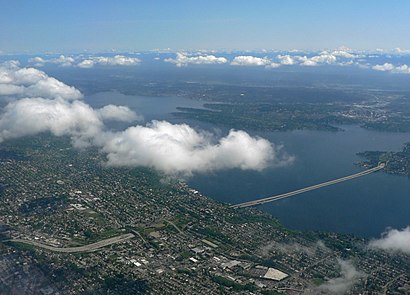
See mount baker tunnel, Seattle, on the map
Directions to mount baker tunnel (Seattle) with public transportation
The following transit lines have routes that pass near mount baker tunnel
Bus:
How to get to mount baker tunnel by Bus?
Click on the Bus route to see step by step directions with maps, line arrival times and updated time schedules.
Bus stations near mount baker tunnel in Seattle
- Lkside Ave S & S Day St,10 min walk,
Bus lines to mount baker tunnel in Seattle
- 27,Downtown Seattle Yesler,
What are the closest stations to mount baker tunnel?
The closest stations to mount baker tunnel are:
- Lkside Ave S & S Day St is 755 yards away, 10 min walk.
Which Bus lines stop near mount baker tunnel?
These Bus lines stop near mount baker tunnel: 14, 27, 48
What’s the nearest bus stop to mount baker tunnel in Seattle?
The nearest bus stop to mount baker tunnel in Seattle is Lkside Ave S & S Day St. It’s a 10 min walk away.
See mount baker tunnel, Seattle, on the map

Public Transit to mount baker tunnel in Seattle
Wondering how to get to mount baker tunnel in Seattle, United States? Moovit helps you find the best way to get to mount baker tunnel with step-by-step directions from the nearest public transit station.
Moovit provides free maps and live directions to help you navigate through your city. View schedules, routes, timetables, and find out how long does it take to get to mount baker tunnel in real time.
Looking for the nearest stop or station to mount baker tunnel? Check out this list of stops closest to your destination: Lkside Ave S & S Day St.
Bus:
Want to see if there’s another route that gets you there at an earlier time? Moovit helps you find alternative routes or times. Get directions from and directions to mount baker tunnel easily from the Moovit App or Website.
We make riding to mount baker tunnel easy, which is why over 1.5 million users, including users in Seattle, trust Moovit as the best app for public transit. You don’t need to download an individual bus app or train app, Moovit is your all-in-one transit app that helps you find the best bus time or train time available.
For information on prices of Bus, costs and ride fares to mount baker tunnel, please check the Moovit app.
Use the app to navigate to popular places including to the airport, hospital, stadium, grocery store, mall, coffee shop, school, college, and university.
Location: Seattle, Seattle - Tacoma, WA

Attractions near mount baker tunnel
- Homer M. Hadley Memorial Bridge
- LINK LRV 102
- I90 Stairs
- Lacey V. Murrow Memorial Bridge
- South Atlantic Street End
- Hosogi and Associates
- Day Street Boat Ramp
- Day Street Park
- Lakeside Ave S & S Day St
- Day Street Boat Ramp
- Metro Bus Stop 27180
- Lake Washington Blvd
- I-90 Floating Bridge
- Anti Aging Aesthetics
- 1500 Lakeside Ave S
- 1500 Lakeside Ave S
- Sandra L Lee
- Lakeside Ave S & S Day St
- South Day Street Park
- Zycon International
How to get to popular attractions in Seattle with public transit
- QFC, Seattle
- Starbucks, Seattle
- Westfield Southcenter, Tukwila
- Point Defiance Park, Tacoma
- Hotel Murano, Tacoma
- City of SeaTac, Seatac
- Bellevue Square, Bellevue
- Seattle Central College, Seattle
- Fluke Park, Everett
- TCC Transit Center, Tacoma
- Redmond Town Center, Redmond
- City of Lacey, Lacey
- PCC Community Markets - Edmonds, Edmonds
- The Evergreen State Fairgrounds, Monroe North
- Regal Cinemas Everett Mall 16 & RPX, Everett
- South Seattle College, Seattle
- Tacoma Community College, Tacoma
- Costco Business Center, Fife
- Uw Medical Center, Seattle
- Costco Wholesale, Tacoma