Directions to redbox (Boston) with public transportation
The following transit lines have routes that pass near redbox
 Bus: G2, T2, T3, T4, T21.
- Train: LAKE SHORE LIMITED, VERMONTER, AMTRAK HARTFORD LINE, NORTHEAST REGIONAL, VALLEY FLYER.
How to get to redbox by bus?
Click on the bus route to see step by step directions with maps, line arrival times and updated time schedules.
From Polar Park, Worcester
104 minFrom Palladium, Worcester
108 minFrom Foxwoods, Worcester
132 minFrom Walmart Supercenter, Worcester
161 minFrom Dcu Center, Worcester
105 minFrom Worcester, MA, Worcester
103 minFrom South High Community School, Worcester
199 minFrom Registry Of Motor Vehicles (Rmv) Branch Office, Worcester
107 min
How to get to redbox by train?
Click on the train route to see step by step directions with maps, line arrival times and updated time schedules.
Train station near redbox in Boston
- Springfield, 61 min walk,VIEW
Bus lines to redbox in Boston
What are the closest stations to redbox?
The closest stations to redbox are:
- Carew / Armory is 73 yards away, 2 min walk.
- Liberty / Carew is 483 yards away, 6 min walk.
- Springfield is 5136 yards away, 61 min walk.
Which bus line stops near redbox?
G2 (E Springfield Via Carew-Cottage)
Which train lines stop near redbox?
These train lines stop near redbox: LAKE SHORE LIMITED, VERMONTER.
What’s the nearest bus station to redbox in Boston?
The nearest bus station to redbox in Boston is Carew / Armory. It’s a 2 min walk away.
What time is the first train to redbox in Boston?
The NORTHEAST REGIONAL is the first train that goes to redbox in Boston. It stops nearby at 4:10 AM.
What time is the last train to redbox in Boston?
The LAKE SHORE LIMITED is the last train that goes to redbox in Boston. It stops nearby at 6:04 PM.
What time is the first bus to redbox in Boston?
The G2 is the first bus that goes to redbox in Boston. It stops nearby at 5:39 AM.
What time is the last bus to redbox in Boston?
The G2 is the last bus that goes to redbox in Boston. It stops nearby at 10:21 PM.
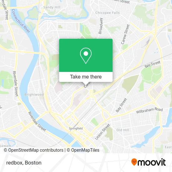
See redbox, Boston, on the map
Public Transit to redbox in Boston
Wondering how to get to redbox in Boston? Moovit helps you find the best way to get to redbox with step-by-step directions from the nearest public transit station.
Moovit provides free maps and live directions to help you navigate through your city. View schedules, routes, timetables, and find out how long does it take to get to redbox in real time.
Looking for the nearest stop or station to redbox? Check out this list of stops closest to your destination: Carew / Armory; Liberty / Carew; Springfield.
Bus: G2, T2, T3, T4, T21, G3, X90.Train: LAKE SHORE LIMITED, VERMONTER, AMTRAK HARTFORD LINE, NORTHEAST REGIONAL, VALLEY FLYER.
Want to see if there’s another route that gets you there at an earlier time? Moovit helps you find alternative routes or times. Get directions from and directions to redbox easily from the Moovit App or Website.
We make riding to redbox easy, which is why over 1.7 million users, including users in Boston, trust Moovit as the best app for public transit. You don’t need to download an individual bus app or train app, Moovit is your all-in-one transit app that helps you find the best bus time or train time available.
For information on prices of bus and train, costs and ride fares to redbox, please check the Moovit app.
Use the app to navigate to popular places including to the airport, hospital, stadium, grocery store, mall, coffee shop, school, college, and university.
redbox Address: 625 Carew St Springfield, MA 01104 street in Boston
- Walgreens,
- BMO Harris Bank,
- TD Bank,
- WESTERN UNION,
- FedEx,
- The Image Makers II,
- Racing Mart,
- ATM,
- Gerardo Express,
- Sisters of Saint Joseph,
- House of Huang,
- Metro by T-Mobile,
- Alfred Zanetti Elementary,
- Our Lady of Hope School,
- Our Lady Of Hope Church,
- Alfred G. Zanetti Montessori Magnet School,
- Savannah Style Floral Arrangement,
- Flower Box,
- American Express,
- Carew&Nye
Places Near redbox (Boston)
- Faneuil Hall, Boston,
- Prudential Center, Boston,
- North End, Boston,
- Quincy Market, Boston,
- Cheers, Boston,
- House Of Blues, Boston,
- Mgm Music Hall, Boston,
- Wilbur Theatre, Boston,
- Boston Convention & Exhibition Center, Boston,
- Wang Theater, Boston,
- Isabella Stewart Gardner Museum, Boston,
- Boston Common, Boston,
- Td Garden, Boston,
- Museum Of Science, Boston,
- Seaport District, Boston,
- Boston Medical Center, Boston,
- Leader Bank Pavilion (Leader Bank Pavillion), Boston,
- Castle Island, Boston,
- Massachusetts General Hospital, Boston,
- Boston Children's Hospital, Boston
How to get to popular places in Boston with public transit
Get around Boston by public transit!
Traveling around Boston has never been so easy. See step by step directions as you travel to any attraction, street or major public transit station. View bus and train schedules, arrival times, service alerts and detailed routes on a map, so you know exactly how to get to anywhere in Boston.
When traveling to any destination around Boston use Moovit's Live Directions with Get Off Notifications to know exactly where and how far to walk, how long to wait for your line, and how many stops are left. Moovit will alert you when it's time to get off — no need to constantly re-check whether yours is the next stop.
Wondering how to use public transit in Boston or how to pay for public transit in Boston? Moovit public transit app can help you navigate your way with public transit easily, and at minimum cost. It includes public transit fees, ticket prices, and costs. Looking for a map of Boston public transit lines? Moovit public transit app shows all public transit maps in Boston with all Bus, Train, Subway and Ferry routes and stops on an interactive map.
Boston has 4 transit type(s), including: Bus, Train, Subway and Ferry, operated by several transit agencies, including MBTA, Southeastern Regional Transit Authority, MetroWest Regional Transit Authority, Rhode Island Public Transit Authority, WRTA, Lowell Regional Transit Authority, Merrimack Valley Transit, Montachusett Regional Transit Authority, Cape Cod Regional Transit Authority, Brockton Area Transit Authority, Martha's Vineyard Transit Authority, the WAVE - Nantucket Regional Transit Authority, GATRA, Cape Ann Transportation Authority and Massport