The Most Popular Urban Mobility App in Sandusky, OH.
All local mobility options in one app
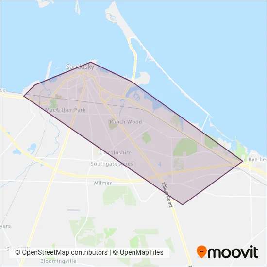
Sandusky Transit System is a public transportation provider in Sandusky, OH which operates Bus routes.
The Sandusky Transit System has 6 Bus routes in Sandusky, OH with 113 Bus stops.
Their Bus routes cover an area from the Edgewater (Tofts) stop to the Cleveland Rd (Mcdonalds) stop and from the Water & Perry stop to the Kalahari Employee Lot stop.
Sandusky Transit System line schedules (timetables, itineraries, service hours), and departure and arrival times to stations are updated in the app in real time.
For Sandusky Transit System service alerts, please check the Moovit website for real-time info on bus status, bus delays, changes of bus routes, changes of stops and any service changes.
Sandusky Transit System is a public transportation provider in Sandusky, OH which operates Bus routes.
The Sandusky Transit System has 6 Bus routes in Sandusky, OH with 113 Bus stops.
Their Bus routes cover an area from the Edgewater (Tofts) stop to the Cleveland Rd (Mcdonalds) stop and from the Water & Perry stop to the Kalahari Employee Lot stop.
Sandusky Transit System line schedules (timetables, itineraries, service hours), and departure and arrival times to stations are updated in the app in real time.
The Sandusky Transit System has Bus routes operating across Sandusky, OH including: Sandusky.
The longest line from the Sandusky Transit System is: YELLOW. This Bus route starts from Washington & Wayne and ends at Washington & Wayne. It covers over 25 km and has 14 stops.
The shortest line is: ORANGE. This Bus line begins from B.G.S.U. Firelands and finishes at Washington & Wayne. It runs through 13 km with 13 stops.
According to Moovit Insights, the most popular lines for Sandusky Transit System are .
Costs and prices of different ticket types may change, based on several factors. Please check the Moovit app to view bus fares of individual lines. For more information on ride fares and for buying bus tickets online please visit Sandusky Transit System's official site.
Looking for a specific Sandusky Transit System Bus schedule? All Sandusky Transit System lines and schedules in Sandusky, OH can be found in the Moovit App. Moovit gives you directions for Sandusky Transit System routes and provides helpful step-by-step navigation.