The Most Popular Urban Mobility App in Madrid.
All local mobility options in one app
Metro de Madrid, also known as Madrid Metro, is a public transportation provider in Madrid that operates Metro lines since 1919.
The Metro de Madrid has 13 Metro lines in Madrid with 242 Metro stations.
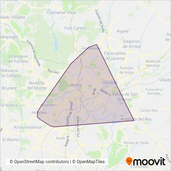
Their Metro lines cover an area from the North (San Sebastián De Los Reyes) with a stop at Hospital Infanta Sofía to the South (Fuenlabrada) with a stop at Fuenlabrada Central.Their most western stop is Hospital De Móstoles (Móstoles) and the most eastern stop is Arganda Del Rey (Arganda Del Rey).
Metro de Madrid line schedules (timetables, itineraries, service hours), and departure and arrival times to stations are updated in the app in real time.
For Metro de Madrid service alerts, please check the Moovit website for real-time info on metro status, metro delays, changes of metro routes, changes of stations and any service changes.
Metro de Madrid, also known as Madrid Metro, is a public transportation provider in Madrid that operates Metro lines since 1919.
The Metro de Madrid has 13 Metro lines in Madrid with 242 Metro stations.
Their Metro lines cover an area from the North (San Sebastián De Los Reyes) with a stop at Hospital Infanta Sofía to the South (Fuenlabrada) with a stop at Fuenlabrada Central.Their most western stop is Hospital De Móstoles (Móstoles) and the most eastern stop is Arganda Del Rey (Arganda Del Rey).
Metro de Madrid line schedules (timetables, itineraries, service hours), and departure and arrival times to stations are updated in the app in real time.
The Metro de Madrid has Metro lines operating across Madrid including: Arganda Del Rey, Alcobendas, San Sebastián De Los Reyes, Fuenlabrada, Getafe, Leganés, Madrid.
The longest line from the Metro de Madrid is: M-12. This Metro line starts from Puerta Del Sur (Alcorcón) and ends at Puerta Del Sur (Alcorcón). It covers over 73 km and has 57 stops.
The shortest line is: M-3. This Metro line begins from Argüelles (Madrid) and finishes at Moncloa (Madrid). It runs through 1 km with 2 stops.
According to Moovit Insights, the most popular lines for Metro de Madrid are M-2, M-3, M-1, M-4, M-5.
Costs and prices of different ticket types may change, based on several factors. Please check the Moovit app to view metro fares of individual lines. For more information on ride fares and for buying metro tickets online please visit Metro de Madrid's official site.
The headquarter offices of the Metro de Madrid are located in: C/ Cavanilles, 58 28007 Madrid
Company Owner: Consorcio Regional de Transportes de Madrid
Looking for a specific Metro de Madrid Metro schedule? All Metro de Madrid lines and schedules in Madrid can be found in the Moovit App. Moovit gives you directions for Metro de Madrid routes and provides helpful step-by-step navigation.