The Most Popular Urban Mobility App in Adelaide.
All local mobility options in one app
Adelaide Metro (Busways) is a public transport provider in Adelaide which operates Bus routes.
The Adelaide Metro (Busways) has 55 Bus routes in Adelaide with 1112 Bus stops.
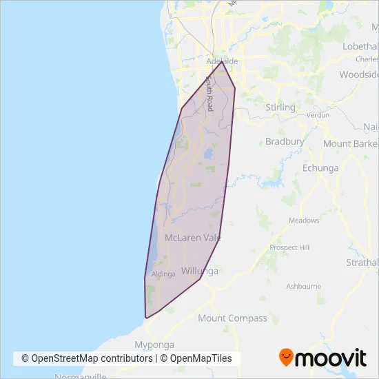
Their Bus routes cover an area from the North (Seaton) with a stop at Stop Temp Frederick Rd (Gate C) - West side to the South (Sellicks Beach) with a stop at Stop 146 Gulf View Rd - South side.Their most western stop is Stop 121 Croser Ave - West side (Aldinga Beach) and the most eastern stop is Stop 49 Grants Gully Rd - West side (Happy Valley).
Adelaide Metro (Busways) line schedules (timetables, itineraries, service hours), and departure and arrival times to stations are updated in the app in real time.
For Adelaide Metro (Busways) service alerts, please check the Moovit website for real-time info on bus status, bus delays, changes of bus routes, changes of stops and any service changes.
Adelaide Metro (Busways) is a public transport provider in Adelaide which operates Bus routes.
The Adelaide Metro (Busways) has 55 Bus routes in Adelaide with 1112 Bus stops.
Their Bus routes cover an area from the North (Seaton) with a stop at Stop Temp Frederick Rd (Gate C) - West side to the South (Sellicks Beach) with a stop at Stop 146 Gulf View Rd - South side.Their most western stop is Stop 121 Croser Ave - West side (Aldinga Beach) and the most eastern stop is Stop 49 Grants Gully Rd - West side (Happy Valley).
Adelaide Metro (Busways) line schedules (timetables, itineraries, service hours), and departure and arrival times to stations are updated in the app in real time.
The Adelaide Metro (Busways) has Bus routes operating across Adelaide including: Morphett Vale, Mclaren Vale, Sellicks Beach, Aldinga Beach, Hallett Cove, Seaford, Happy Valley, Ohalloran Hill, Old Reynella, Noarlunga Downs.
The longest line from the Adelaide Metro (Busways) is: N721. This Bus route starts from Stop 85 The Parade - South side and ends at Stop Z2 King William Rd - West side. It covers over 40 km and has 101 stops.
The shortest line is: 683. This Bus line begins from Stop 57H Cherub St - East side and finishes at Stop 65 Freebairn Dr - East side (Hallett Cove). It runs through 3 km with 9 stops.
According to Moovit Insights, the most popular lines for Adelaide Metro (Busways) are .
Costs and prices of different ticket types may change, based on several factors. Please check the Moovit app to view bus fares of individual lines. For more information on ride fares and for buying bus tickets online please visit Adelaide Metro (Busways)'s official site.
Looking for a specific Adelaide Metro (Busways) Bus timetable? All Adelaide Metro (Busways) routes and timetables in Adelaide can be found in the Moovit App. Moovit gives you directions for Adelaide Metro (Busways) routes and provides helpful step-by-step navigation.