Ashfield Road stop - Thursday schedule
| Line | Direction | Time |
|---|---|---|
| 245 | Altrincham Interchange | 06:08 |
| 263 | Altrincham Interchange | 06:12 |
| 5 | Altrincham Interchange | 06:19 |
| 5 | Altrincham Interchange | 06:44 |
| 245 | Altrincham Interchange | 06:48 |
| 263 | Altrincham Interchange | 06:52 |
| 263 | Altrincham Interchange | 07:20 |
| 245 | Altrincham Interchange | 07:24 |
| 5 | Altrincham Interchange | 07:24 |
| 758 | Loreto Grammar School | 07:38 |
| 756 | Loreto Grammar School | 07:41 |
| 263 | Altrincham Interchange | 07:42 |
| 770 | Altrincham College Of Arts | 07:42 |
| 757 | Loreto Grammar School | 07:47 |
| 764 | St Ambrose College | 07:56 |
| 764 | St Ambrose College | 07:56 |
| 762 | St Ambrose College | 07:59 |
| 245 | Altrincham Interchange | 08:03 |
| 263 | Altrincham Interchange | 08:04 |
| 263 | Altrincham Interchange | 08:24 |
| 245 | Altrincham Interchange | 08:33 |
| 263 | Altrincham Interchange | 08:47 |
| 5 | Altrincham Interchange | 08:50 |
| 245 | Altrincham Interchange | 09:05 |
| 263 | Altrincham Interchange | 09:09 |
Directions to Ashfield Road stop (Sale) with public transport
The following transport lines have routes that pass near Ashfield Road
How to get to Ashfield Road stop by bus?
Click on the bus route to see step by step directions with maps, line arrival times and updated time schedules.
How to get to Ashfield Road stop by train?
Click on the train route to see step by step directions with maps, line arrival times and updated time schedules.
How to get to Ashfield Road stop by light rail?
Click on the light rail route to see step by step directions with maps, line arrival times and updated time schedules.
Bus stops near Ashfield Road stop in Sale
- Magistrates Court, 2 min walk,
- Chapel Road, 2 min walk,
- Mersey Road, 4 min walk,
- Cranleigh Drive, 6 min walk,
- Windsor Avenue, 8 min walk,
- Sale Metrolink Stop, 9 min walk,
Light Rail stations near Ashfield Road station in Sale
- Brooklands (Manchester Metrolink), 11 min walk,
Bus lines to Ashfield Road stop in Sale
- 248, The Trafford Centre Bus Station,
- 249, Wythenshawe Interchange,
- 281, Altrincham Interchange,
- 762, Chorlton Bus Station,
- 5, Altrincham Interchange,
- 86, Ashfield Road,
- 245, Altrincham Interchange,
- 263, Piccadilly Gardens,
- 746, St Margaret's Road,
- 756, Woodbridge Road,
- 757, Loreto Grammar School,
- 758, Loreto Grammar School,
- 759, Loreto Grammar School,
- 764, Raglan Road,
- 770, Altrincham College Of Arts,
- 778, Brook's Bar,
- 771, Epsom Avenue,
- 789, Blessed Thomas Holford,
- 798, Blessed Thomas Holford,
- 41, Middleton Bus Station,
What are the nearest stations to Ashfield Road?
The nearest stations to Ashfield Road are:
- Magistrates Court is 110 meters away, 2 min walk.
- Chapel Road is 116 meters away, 2 min walk.
- Mersey Road is 256 meters away, 4 min walk.
- Cranleigh Drive is 412 meters away, 6 min walk.
- Windsor Avenue is 536 meters away, 8 min walk.
- Sale Metrolink Stop is 619 meters away, 9 min walk.
- Brooklands (Manchester Metrolink) is 790 meters away, 11 min walk.
Which bus lines stop near Ashfield Road?
These bus lines stop near Ashfield Road: 245, 263, 41.
Which train line stops near Ashfield Road?
NORTHERN (Liverpool Lime Street)
Which light rail lines stop near Ashfield Road?
These light rail lines stop near Ashfield Road: GREEN LINE, PURPLE LINE.
What’s the nearest light rail station to Ashfield Road in Sale?
The nearest light rail station to Ashfield Road in Sale is Brooklands (Manchester Metrolink). It’s a 11 min walk away.
What’s the nearest bus station to Ashfield Road in Sale?
The nearest bus stations to Ashfield Road in Sale are Magistrates Court and Chapel Road. The closest one is a 2 min walk away.
What time is the first light rail to Ashfield Road in Sale?
The PURPLE LINE is the first light rail that goes to Ashfield Road in Sale. It stops nearby at 06:26.
What time is the last light rail to Ashfield Road in Sale?
The PURPLE LINE is the last light rail that goes to Ashfield Road in Sale. It stops nearby at 00:46.
What time is the first bus to Ashfield Road in Sale?
The 86 is the first bus that goes to Ashfield Road in Sale. It stops nearby at 03:24.
What time is the last bus to Ashfield Road in Sale?
The 263 is the last bus that goes to Ashfield Road in Sale. It stops nearby at 00:39.
Ashfield Road station
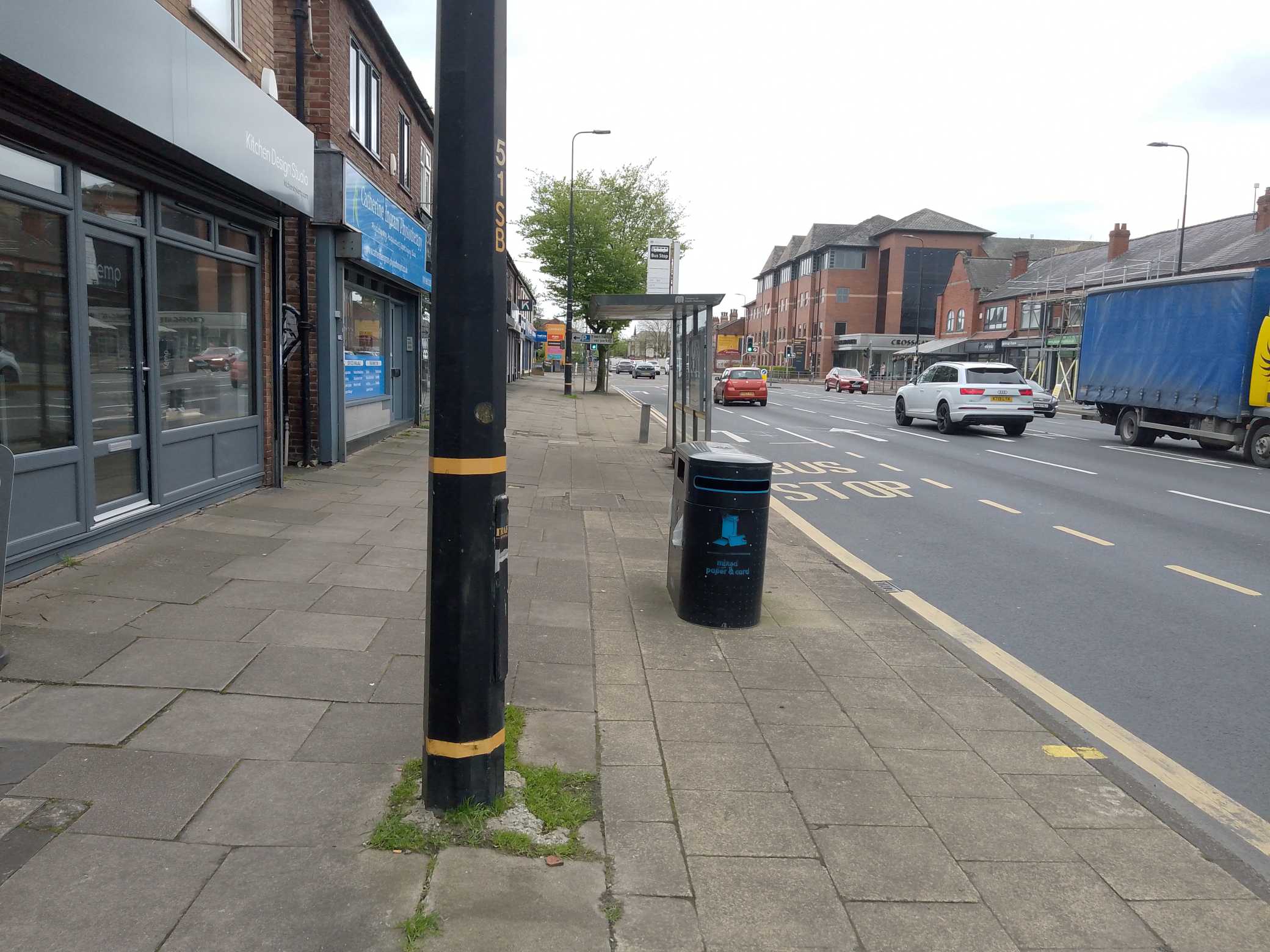 Taken by David S.
See Ashfield Road stop, Sale, on the map
Public transport to Ashfield Road stop (ID: MANJPGAD) in Sale
Looking for directions to Ashfield Road in Sale, United Kingdom?
Download the Moovit App to find the current schedule and step-by-step directions for Bus, Light rail or Train routes that pass through Ashfield Road.
Looking for the nearest stops closest to Ashfield Road ? Check out this list of closest stops to your destination: Magistrates Court; Chapel Road; Mersey Road; Cranleigh Drive; Windsor Avenue; Sale Metrolink Stop; Brooklands (Manchester Metrolink).
Bus: 245, 263, 41, 248, 249, 281, 762, 5, 86, 746, 778, 771, 789, 789, 789, 798.Train: NORTHERN.Light rail: GREEN LINE, PURPLE LINE.
We make riding on public transit to Ashfield Road easy, which is why over 1.5 million users, including users in Sale trust Moovit as the best app for public transit.
Use the app to navigate to popular places including to the airport, hospital, stadium, grocery store, mall, coffee shop, school, college, and university.
Ashfield Road stop’s code is MANJPGAD
The first line to this stop is 245, at 06:08, and the last line is 263 at 00:38.
Leicester Road, Altrincham, England, United Kingdom
This stop serves Bee Network, Warrington's Own Buses, Bee Network and Swans Travel Ltd’s lines
Bus stops near Ashfield Road stop
Light Rail station near Ashfield Road station
Popular public transport stations in Sale
Get around Sale by public transport!
Travelling around Sale has never been so easy. See step by step directions as you travel to any attraction, street or major public transport station. View bus and train timetables, arrival times, service alerts and detailed routes on a map, so you know exactly how to get to anywhere in Sale.
When travelling to any destination around Sale use Moovit's Live Directions with Get Off Notifications to know exactly where and how far to walk, how long to wait for your line , and how many stops are left. Moovit will alert you when it’s time to get off — no need to constantly re-check whether yours is the next stop.
Wondering how to use public transport in Sale or how to pay for public transport in Sale? Moovit public transport app can help you navigate your way with public transport easily, and at minimum cost. It includes public transport fees, ticket prices, and costs. Looking for a map of Sale public transport lines? Moovit public transport app shows all public transport maps in Sale with all Bus, Train, Light rail and Ferry routes and stops on an interactive map.
North West has 4 transport type(s), including: Bus, Train, Light rail and Ferry, operated by several transport agencies, including National Rail, Blackpool Transport, Metrolink, Archway Travel, The Blackburn Bus Company, D & G Bus, Mikro Coaches, Pilkingtonbus, Arriva Wales, A2B Travel, Rosso, Arriva North West, Blackburn Private Hire, Al's Coaches and Moving People