B&Q stop - Wednesday schedule
| Line | Direction | Time |
|---|---|---|
| 61 | Blackpool Corporation St | 05:52 |
| 61 | Blackpool Corporation St | 05:52 |
| 61 | Blackpool Corporation St | 06:57 |
| 61 | Blackpool Corporation St | 06:57 |
| 61 | Blackpool Corporation St | 07:19 |
| 61 | Blackpool Corporation St | 07:44 |
| 61 | Blackpool Corporation St | 08:19 |
| 6 | Grange Park | 08:26 |
| 6 | Pilling Crescent | 08:26 |
| 61 | Blackpool Corporation St | 08:44 |
| 61 | Blackpool Corporation St | 09:14 |
| 6 | Grange Park | 09:26 |
| 6 | Pilling Crescent | 09:26 |
| 61 | Blackpool Corporation St | 09:54 |
| 61 | Blackpool Corporation St | 10:24 |
| 61 | Blackpool Corporation St | 10:24 |
| 6 | Grange Park | 10:26 |
| 6 | Pilling Crescent | 10:26 |
| 61 | Blackpool Corporation St | 10:54 |
| 61 | Blackpool Corporation St | 11:24 |
| 6 | Grange Park | 11:26 |
| 6 | Pilling Crescent | 11:26 |
| 61 | Blackpool Corporation St | 11:54 |
| 61 | Blackpool Corporation St | 12:24 |
| 6 | Grange Park | 12:26 |
Directions to B&Q stop (North West) with public transport
The following transport lines have routes that pass near B&Q
How to get to B&Q stop by bus?
Click on the bus route to see step by step directions with maps, line arrival times and updated time schedules.
Bus stops near B&Q stop in North West
- Whitehill Road, 2 min walk,
- B&Q, 6 min walk,
- Clifton Road, 10 min walk,
- Branstree Road, 14 min walk,
Bus lines to B&Q stop in North West
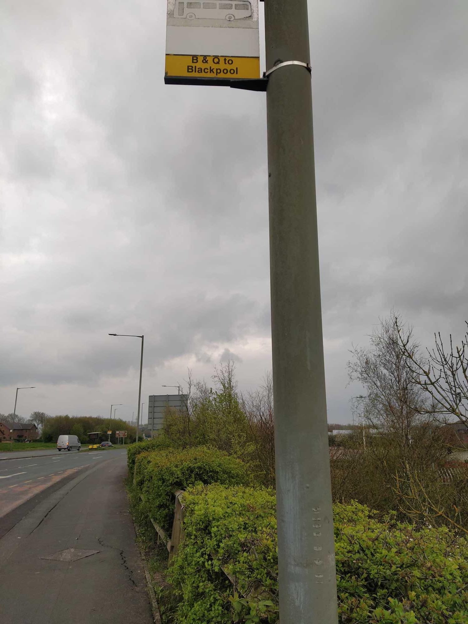
- 61, Blackpool Corporation St,
- 6, Pilling Crescent,
- 18, Hospital Entrance,
- 3, Victoria Square,
- 3A, Crescent,
What are the nearest stations to B&Q?
The nearest stations to B&Q are:
- Whitehill Road is 92 meters away, 2 min walk.
- B&Q is 405 meters away, 6 min walk.
- Clifton Road is 710 meters away, 10 min walk.
- Branstree Road is 1041 meters away, 14 min walk.
Which bus lines stop near B&Q?
These bus lines stop near B&Q: 6, 61.
What’s the nearest bus station to B&Q in North West?
The nearest bus station to B&Q in North West is Whitehill Road. It’s a 2 min walk away.
What time is the first bus to B&Q in North West?
The 61 is the first bus that goes to B&Q in North West. It stops nearby at 05:51.
What time is the last bus to B&Q in North West?
The 61 is the last bus that goes to B&Q in North West. It stops nearby at 23:31.
B&Q station
 Taken by Anonymous
See B&Q stop, North West, on the map
Public transport to B&Q stop (ID: lanwjga) in North West
Looking for directions to B&Q in North West, United Kingdom?
Download the Moovit App to find the current schedule and step-by-step directions for Bus routes that pass through B&Q.
Looking for the nearest stops closest to B&Q ? Check out this list of closest stops to your destination: Whitehill Road; B&Q; Clifton Road; Branstree Road.
Bus: 6, 61, 18, 3, 3A.
We make riding on public transit to B&Q easy, which is why over 1.5 million users, including users in North West trust Moovit as the best app for public transit.
Use the app to navigate to popular places including to the airport, hospital, stadium, grocery store, mall, coffee shop, school, college, and university.
B&Q stop’s code is lanwjga
The first line to this stop is 61, at 05:52, and the last line is 61 at 22:52.
This stop serves Blackpool Transport and Stagecoach Merseyside and South Lancashire’s lines
Popular public transport stations in North West
Get around North West by public transport!
Travelling around North West has never been so easy. See step by step directions as you travel to any attraction, street or major public transport station. View bus and train timetables, arrival times, service alerts and detailed routes on a map, so you know exactly how to get to anywhere in North West.
When travelling to any destination around North West use Moovit's Live Directions with Get Off Notifications to know exactly where and how far to walk, how long to wait for your line , and how many stops are left. Moovit will alert you when it’s time to get off — no need to constantly re-check whether yours is the next stop.
Wondering how to use public transport in North West or how to pay for public transport in North West? Moovit public transport app can help you navigate your way with public transport easily, and at minimum cost. It includes public transport fees, ticket prices, and costs. Looking for a map of North West public transport lines? Moovit public transport app shows all public transport maps in North West with all Bus, Train, Light rail and Ferry routes and stops on an interactive map.
North West has 4 transport type(s), including: Bus, Train, Light rail and Ferry, operated by several transport agencies, including National Rail, Blackpool Transport, Metrolink, Archway Travel, The Blackburn Bus Company, Mikro Coaches, Pilkingtonbus, Arriva Wales, A2B Travel, Rosso, Blackburn Private Hire, Al's Coaches, Moving People, Stotts Tours and Kirkby Lonsdale Coaches