Barkly Road stop - Tuesday schedule
| Line | Direction | Time |
|---|---|---|
| 202 | Bus Stn | 05:21 |
| 200 | Bus Stn | 05:36 |
| 203 | Bus Stn | 05:51 |
| 201 | Bus Stn | 06:06 |
| 202 | Bus Stn | 06:21 |
| 200 | Bus Stn | 06:36 |
| 203 | Bus Stn | 06:51 |
| 116 | Leeds Bus Station 8 | 06:56 |
| 201 | Bus Stn | 07:06 |
| 202 | Bus Stn | 07:21 |
| 200 | Bus Stn | 07:25 |
| 203 | Bus Stn | 07:32 |
| 201 | Bus Stn | 07:39 |
| 202 | Bus Stn | 07:46 |
| 116 | Leeds Bus Station 8 | 07:48 |
| 200 | Bus Stn | 07:54 |
| 203 | Bus Stn | 08:01 |
| 201 | Bus Stn | 08:09 |
| 202 | Bus Stn | 08:16 |
| 200 | Bus Stn | 08:24 |
| 116 | Leeds Bus Station 8 | 08:26 |
| 203 | Bus Stn | 08:31 |
| 201 | Bus Stn | 08:39 |
| 202 | Bus Stn | 08:46 |
| 200 | Bus Stn | 08:54 |
Directions to Barkly Road stop (Leeds) with public transport
The following transport lines have routes that pass near Barkly Road
How to get to Barkly Road stop by bus?
Click on the bus route to see step by step directions with maps, line arrival times and updated time schedules.
How to get to Barkly Road stop by train?
Click on the train route to see step by step directions with maps, line arrival times and updated time schedules.
Bus stops near Barkly Road stop in Leeds
- Cross Flatts Park, 2 min walk,
- Old Lane Grovehall Rd, 6 min walk,
- Old Lane Moorhouse Ave, 6 min walk,
- Waincliffe Drive, 10 min walk,
- Tommy Wass Junction, 17 min walk,
- Cottingley, 46 min walk,
Bus lines to Barkly Road stop in Leeds
- 116, Leeds - Wakefield,
- 116, Wakefield - Leeds,
- 200, Heckmondwike - Leeds,
- 201, Heckmondwike - Leeds,
- 202, Huddersfield - Leeds,
- 203, Huddersfield - Leeds,
- 65, Morley Town Hall,
- 75, Middleton Shop Ctr,
- 74, Leeds the Headrow L,
- 9A, Seacroft Bus Stn,
- 9C, White Rose Centre Stand A,
- 118, White Rose Ctr,
- 9, White Rose Centre Stand A,
- NORTHERN, Leeds,
- TRANSPENNINE EXPRESS, Redcar Central,
- TRANSPENNINE EXPRESS, Bus Replacement: Leeds,
What are the nearest stations to Barkly Road?
The nearest stations to Barkly Road are:
- Cross Flatts Park is 122 meters away, 2 min walk.
- Old Lane Grovehall Rd is 443 meters away, 6 min walk.
- Old Lane Moorhouse Ave is 450 meters away, 6 min walk.
- Waincliffe Drive is 734 meters away, 10 min walk.
- Tommy Wass Junction is 1292 meters away, 17 min walk.
- Cottingley is 3589 meters away, 46 min walk.
Which bus lines stop near Barkly Road?
These bus lines stop near Barkly Road: 2, 200, 202, 203, 3A.
Which train line stops near Barkly Road?
NORTHERN
What’s the nearest bus station to Barkly Road in Leeds?
The nearest bus station to Barkly Road in Leeds is Cross Flatts Park. It’s a 2 min walk away.
What time is the first bus to Barkly Road in Leeds?
The 12 is the first bus that goes to Barkly Road in Leeds. It stops nearby at 04:29.
What time is the last bus to Barkly Road in Leeds?
The TRANSPENNINE EXPRESS is the last bus that goes to Barkly Road in Leeds. It stops nearby at 00:57.
Barkly Road station
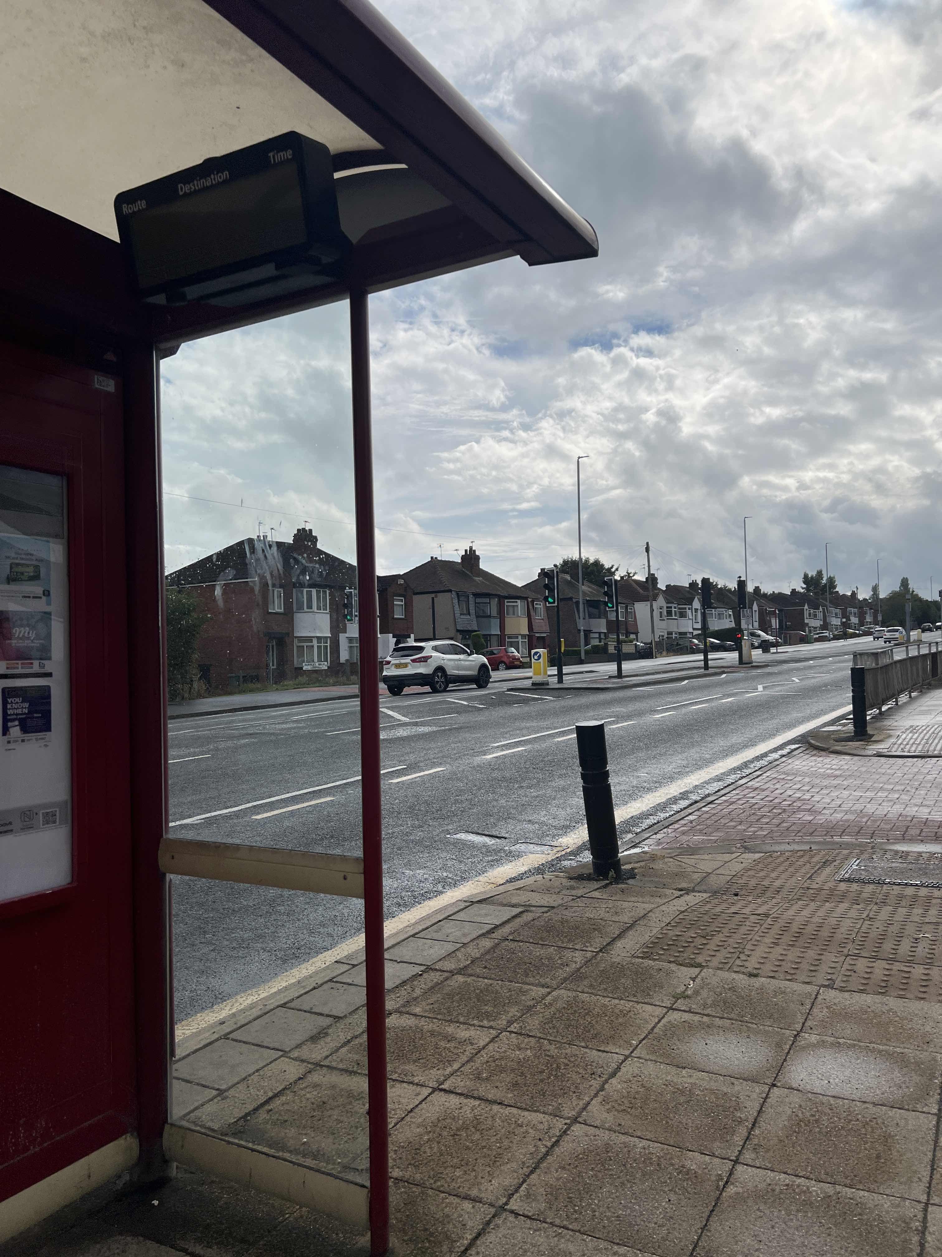 Taken by Anonymous
See Barkly Road stop, Leeds, on the map
Public transport to Barkly Road stop (ID: 45010053) in Leeds
Looking for directions to Barkly Road in Leeds, United Kingdom?
Download the Moovit App to find the current schedule and step-by-step directions for Bus or Train routes that pass through Barkly Road.
Looking for the nearest stops closest to Barkly Road ? Check out this list of closest stops to your destination: Cross Flatts Park; Old Lane Grovehall Rd; Old Lane Moorhouse Ave; Waincliffe Drive; Tommy Wass Junction; Cottingley.
Bus: 2, 200, 202, 203, 3A, 116, 116, 201, 65, 75, 74, 9A, 9C, 118, 9, NORTHERN, TRANSPENNINE EXPRESS, TRANSPENNINE EXPRESS.Train: NORTHERN.
We make riding on public transit to Barkly Road easy, which is why over 1.5 million users, including users in Leeds trust Moovit as the best app for public transit.
Use the app to navigate to popular places including to the airport, hospital, stadium, grocery store, mall, coffee shop, school, college, and university.
Barkly Road stop’s code is 45010053
The first line to this stop is 202, at 05:21, and the last line is 203 at 23:12.
388-390 Dewsbury Road, Leeds, England, United Kingdom
This stop serves Station Coaches, Arriva Yorkshire and Yorkshire Travel Group’s lines
Bus stops near Barkly Road stop
Popular public transport stations in Leeds
Get around Leeds by public transport!
Travelling around Leeds has never been so easy. See step by step directions as you travel to any attraction, street or major public transport station. View bus and train timetables, arrival times, service alerts and detailed routes on a map, so you know exactly how to get to anywhere in Leeds.
When travelling to any destination around Leeds use Moovit's Live Directions with Get Off Notifications to know exactly where and how far to walk, how long to wait for your line , and how many stops are left. Moovit will alert you when it’s time to get off — no need to constantly re-check whether yours is the next stop.
Wondering how to use public transport in Leeds or how to pay for public transport in Leeds? Moovit public transport app can help you navigate your way with public transport easily, and at minimum cost. It includes public transport fees, ticket prices, and costs. Looking for a map of Leeds public transport lines? Moovit public transport app shows all public transport maps in Leeds with all Bus, Train and Light rail routes and stops on an interactive map.
Yorkshire has 3 transport type(s), including: Bus, Train and Light rail, operated by several transport agencies, including National Rail, South Yorkshire Future Tram, Stevenson's Travel, Hulleys of Baslow, TLC Travel, R & S Watersons, The Keighley Bus Company, Stagecoach Yorkshire, Jacksons of Silsden Ltd, First Bradford, Hodgsons, Sheffield Community Transport, Station Coaches, Coastliner and York Pullman