The Most Popular Urban Mobility App in Clifton.
All local mobility options in one app
| Line | Direction | Time |
|---|---|---|
| NORTHERN | Stalybridge | 08:36 |
| NORTHERN | Southport | 18:20 |
The following transport lines have routes that pass near Clifton (Manchester)
Click on the bus route to see step by step directions with maps, line arrival times and updated time schedules.
Click on the train route to see step by step directions with maps, line arrival times and updated time schedules.
The nearest stations to Clifton (Manchester) are:
These bus lines stop near Clifton (Manchester): 21, 8.
NORTHERN
The nearest light rail station to Clifton (Manchester) is Besses O'Th'Barn (Manchester Metrolink). It’s a 13 min walk away.
The nearest bus stop to Clifton (Manchester) is Whitehead Road. It’s a 6 min walk away.
The YELLOW LINE is the first light rail that goes to Clifton (Manchester). It stops nearby at 06:23.
The YELLOW LINE is the last light rail that goes to Clifton (Manchester). It stops nearby at 00:34.
The 21 is the first bus that goes to Clifton (Manchester). It stops nearby at 09:30.
The 21 is the last bus that goes to Clifton (Manchester). It stops nearby at 22:34.
Looking for directions to Clifton (Manchester) in Clifton, United Kingdom?
Download the Moovit App to find the current schedule and step-by-step directions for Bus, Train or Light rail routes that pass through Clifton (Manchester).
Looking for the nearest stops closest to Clifton (Manchester) ? Check out this list of closest stops to your destination: Whitehead Road; Besses O'Th'Barn (Manchester Metrolink).
Bus:Train:
We make riding on public transit to Clifton (Manchester) easy, which is why over 1.5 million users, including users in Clifton trust Moovit as the best app for public transit.
Use the app to navigate to popular places including to the airport, hospital, stadium, grocery store, mall, coffee shop, school, college, and university.
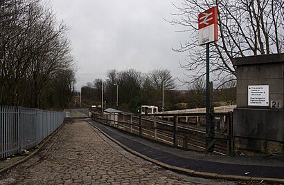
The station has the following entrances: Rake Ln
The first line to this station is NORTHERN, at 08:36, and the last line is NORTHERN at 18:20.
This station serves National Rail’s lines
Clifton railway station is a railway station in Clifton, Greater Manchester, England which was formerly called Clifton Junction. It lies on the Manchester–Preston line.Wiki
Travelling around Clifton has never been so easy. See step by step directions as you travel to any attraction, street or major public transport station. View bus and train timetables, arrival times, service alerts and detailed routes on a map, so you know exactly how to get to anywhere in Clifton.
When travelling to any destination around Clifton use Moovit's Live Directions with Get Off Notifications to know exactly where and how far to walk, how long to wait for your line , and how many stops are left. Moovit will alert you when it’s time to get off — no need to constantly re-check whether yours is the next stop.
Wondering how to use public transport in Clifton or how to pay for public transport in Clifton? Moovit public transport app can help you navigate your way with public transport easily, and at minimum cost. It includes public transport fees, ticket prices, and costs. Looking for a map of Clifton public transport lines? Moovit public transport app shows all public transport maps in Clifton with all bus, train or light rail routes and stops on an interactive map.
Clifton has 3 transport type(s), including: bus, train or light rail, operated by several transport agencies, including Stagecoach Manchester, Arriva North West, Diamond Bus North West, Stagecoach Merseyside and South Lancashire, Stagecoach Cumbria and North Lancashire, First Greater Manchester, First Halifax, National Express, Warrington's Own Buses, First Potteries, Rosso, Blackpool Transport, Blackpool Transport, The Blackburn Bus Company and The Burnley Bus Company