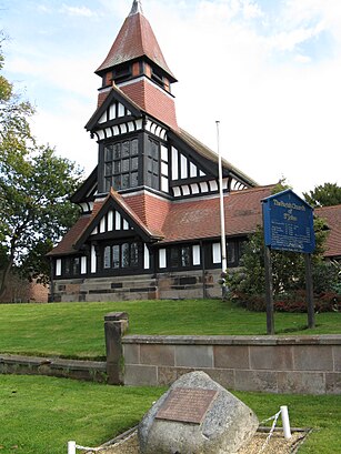
See St. John's Church High Legh on the map
Directions to St. John's Church High Legh with public transportation
The following transport lines have routes that pass near St. John's Church High Legh
 Bus:
Bus:
How to get to St. John's Church High Legh by bus?
Click on the bus route to see step by step directions with maps, line arrival times and updated time schedules.
Which bus lines stop near St. John's Church High Legh?
These bus lines stop near St. John's Church High Legh: CAT5, CC5A.
See St. John's Church High Legh on the map
Public Transportation to St. John's Church High Legh
Wondering how to get to St. John's Church High Legh, United Kingdom? Moovit helps you find the best way to get to St. John's Church High Legh with step-by-step directions from the nearest public transit station.
Moovit provides free maps and live directions to help you navigate through your city. View schedules, routes, timetables, and find out how long does it take to get to St. John's Church High Legh in real time.
Bus:
Want to see if there’s another route that gets you there at an earlier time? Moovit helps you find alternative routes or times. Get directions from and directions to St. John's Church High Legh easily from the Moovit App or Website.
We make riding to St. John's Church High Legh easy, which is why over 1.5 million users, including users in High Legh, trust Moovit as the best app for public transit. You don’t need to download an individual bus app or train app, Moovit is your all-in-one transit app that helps you find the best bus time or train time available.
For information on prices of bus and train, costs and ride fares to St. John's Church High Legh, please check the Moovit app.
Use the app to navigate to popular places including to the airport, hospital, stadium, grocery store, mall, coffee shop, school, college, and university.
Location: High Legh, North West
Attractions near St. John's Church High Legh
Access Plus Ltd.,High Legh Church,Caltec (Atc) Ltd.,Wa16 6xa,9 Pheasant Walk,Balmoral Management Consulting Ltd.,Wa16 6lu,Wa16 6nj,Wa16 6nb,Wa16 6nd,Wa16 6ps,1 The Avenue,5 Arley End,West Hall Lodge,High Legh Village Hall,M P Barnfield,26 Egerton,High Legh,Wa16 6lt,2 Kinderton CloseHow to get to popular attractions in High Legh with public transportation
Tyldesley, Tyldesley,Stopford Building, Manchester,Warrington, Warrington,Priestley College, Warrington,Salford Royal Nhs Foundation Trust, Salford,Reflexion Lounge, Salford,Mmu Business School And Student Hub, Manchester,Pennington Flash, Leigh,Hilton Blackpool, Blackpool,Ormskirk Hospital, Ormskirk,Cleveleys Beach, Cleveleys,The Trafford Centre, Trafford Park,HMRC Trinity Bridge House, Manchester,Halewood Park Environmental Centre, Halewood,Bury College, Bury,Royal Preston Hospital, Preston,Salford Quays, Salford,David Lloyd Liverpool Speke, Garston,Tesco, St Helens,Liverpool One, LiverpoolGet around High Legh by public transport!
Travelling around High Legh has never been so easy. See step by step directions as you travel to any attraction, street or major public transport station. View bus and train timetables, arrival times, service alerts and detailed routes on a map, so you know exactly how to get to anywhere in High Legh.
When travelling to any destination around High Legh use Moovit's Live Directions with Get Off Notifications to know exactly where and how far to walk, how long to wait for your line , and how many stops are left. Moovit will alert you when it’s time to get off — no need to constantly re-check whether yours is the next stop.
Wondering how to use public transport in High Legh or how to pay for public transport in High Legh? Moovit public transport app can help you navigate your way with public transport easily, and at minimum cost. It includes public transport fees, ticket prices, and costs. Looking for a map of High Legh public transport lines? Moovit public transport app shows all public transport maps in High Legh with all bus or train routes and stops on an interactive map.
High Legh has 2 transport type(s), including: bus or train, operated by several transport agencies, including Stagecoach Manchester, Arriva North West, Diamond Bus North West, Stagecoach Merseyside and South Lancashire, Stagecoach Cumbria and North Lancashire, First Greater Manchester, First Halifax, National Express, Warrington's Own Buses, First Potteries, Rosso, Blackpool Transport, The Blackburn Bus Company, The Burnley Bus Company and Vision Bus