Sunnybank stop - Thursday schedule
| Line | Direction | Time |
|---|---|---|
| 35 | Willerby Square | 06:09 |
| 54 | Willerby Square | 06:10 |
| 35 | Willerby Square | 06:24 |
| 54 | Willerby Square | 06:30 |
| 35 | Willerby Square | 07:00 |
| 54 | Willerby Square | 07:00 |
| 35 | Willerby Square | 07:30 |
| 54 | Willerby Square | 07:30 |
| 54 | Willerby Square | 08:18 |
| 35 | Willerby Square | 08:18 |
| 54 | Willerby Square | 08:46 |
| 35 | Willerby Square | 08:46 |
| 54 | Willerby Square | 09:21 |
| 35 | Willerby Square | 09:21 |
| 54 | Willerby Square | 09:51 |
| 35 | Willerby Square | 09:51 |
| 54 | Willerby Square | 10:21 |
| 35 | Willerby Square | 10:21 |
| 54 | Willerby Square | 10:51 |
| 35 | Willerby Square | 10:51 |
| 54 | Willerby Square | 11:21 |
| 35 | Willerby Square | 11:21 |
| 54 | Willerby Square | 11:51 |
| 35 | Willerby Square | 11:51 |
| 54 | Willerby Square | 12:21 |
Directions to Sunnybank stop (Hull) with public transport
The following transport lines have routes that pass near Sunnybank
How to get to Sunnybank stop by bus?
Click on the bus route to see step by step directions with maps, line arrival times and updated time schedules.
How to get to Sunnybank stop by train?
Click on the train route to see step by step directions with maps, line arrival times and updated time schedules.
Bus stops near Sunnybank stop in Hull
- Walton Street, 2 min walk,
- Hymers Avenue, 4 min walk,
- Princes Avenue, 5 min walk,
- Hymers College, 6 min walk,
- Old Zoological, 7 min walk,
Train stations near Sunnybank station in Hull
- Cottingham, 61 min walk,
Bus lines to Sunnybank stop in Hull
- 35, Willerby Square,
- 929, Wyke College Bricknell Avenue Layby,
- 3, North Hull Estate Orchard Park Tesco,
- 18, Cottingham Cottingham Castle Road,
- 934, Wyke College Bricknell Avenue Layby,
- 944, Wyke College Bricknell Avenue Layby,
- 24, Hornsea Eyms Depot,
- 75H, Hymers College,
- 5, Kingswood Asda Kingswood,
- 104, Castle Hill Main Entrance,
What are the nearest stations to Sunnybank?
The nearest stations to Sunnybank are:
- Walton Street is 71 meters away, 2 min walk.
- Hymers Avenue is 246 meters away, 4 min walk.
- Princes Avenue is 358 meters away, 5 min walk.
- Hymers College is 439 meters away, 6 min walk.
- Old Zoological is 481 meters away, 7 min walk.
- Cottingham is 4770 meters away, 61 min walk.
Which bus lines stop near Sunnybank?
These bus lines stop near Sunnybank: 18, 3, 35, 934.
Which train line stops near Sunnybank?
NORTHERN (York)
What’s the nearest bus station to Sunnybank in Hull?
The nearest bus station to Sunnybank in Hull is Walton Street. It’s a 2 min walk away.
What time is the first train to Sunnybank in Hull?
The NORTHERN is the first train that goes to Sunnybank in Hull. It stops nearby at 06:05.
What time is the last train to Sunnybank in Hull?
The NORTHERN is the last train that goes to Sunnybank in Hull. It stops nearby at 23:42.
What time is the first bus to Sunnybank in Hull?
The 3 is the first bus that goes to Sunnybank in Hull. It stops nearby at 04:44.
What time is the last bus to Sunnybank in Hull?
The 104 is the last bus that goes to Sunnybank in Hull. It stops nearby at 00:19.
Sunnybank station
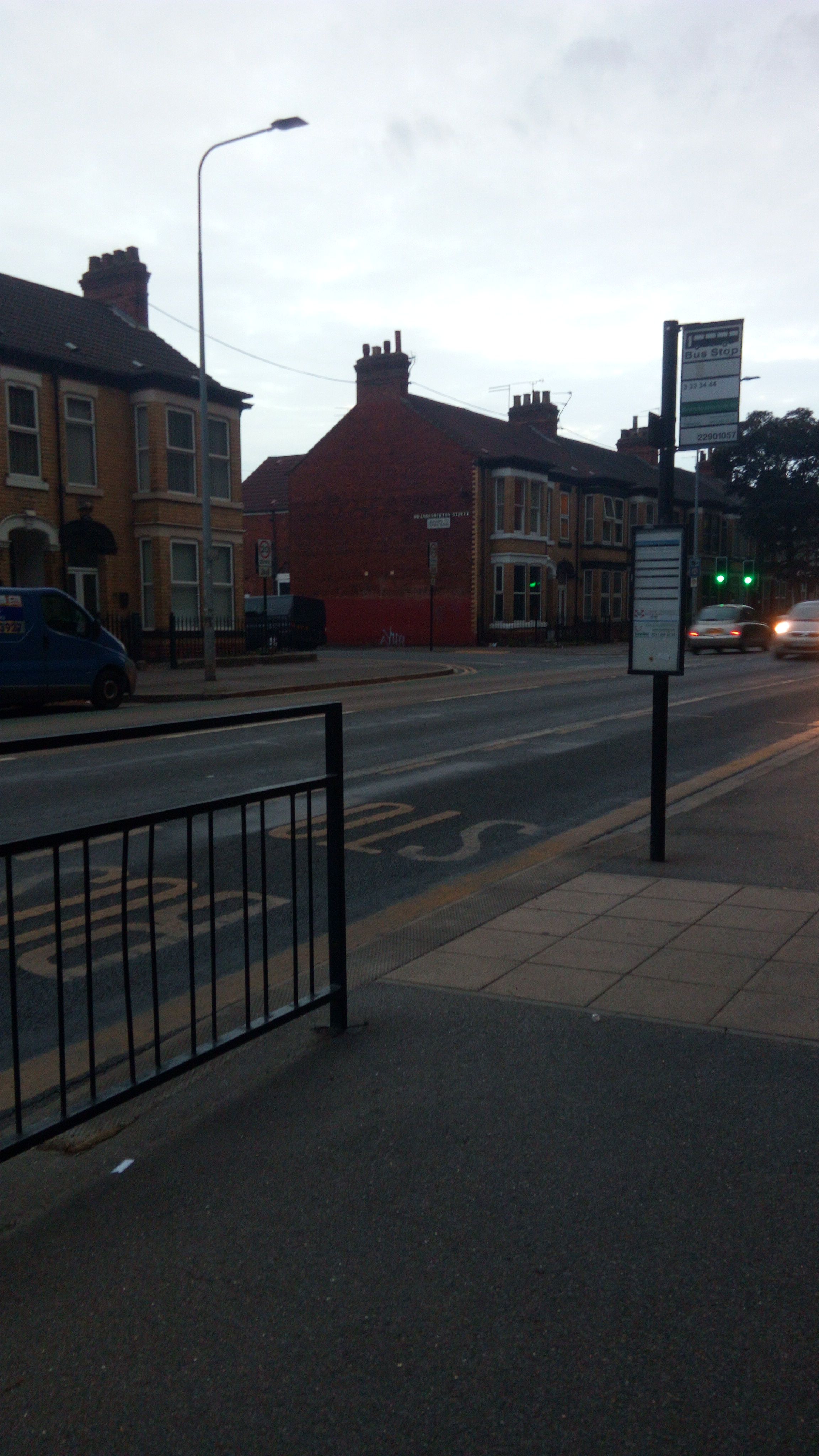 Taken by Anonymous
See Sunnybank stop, Hull, on the map
Public transport to Sunnybank stop (ID: 22901056) in Hull
Looking for directions to Sunnybank in Hull, United Kingdom?
Download the Moovit App to find the current schedule and step-by-step directions for Bus or Train routes that pass through Sunnybank.
Looking for the nearest stops closest to Sunnybank ? Check out this list of closest stops to your destination: Walton Street; Hymers Avenue; Princes Avenue; Hymers College; Old Zoological; Cottingham.
Bus: 18, 3, 35, 934, 929, 944, 24, 75H, 5, 104.Train: NORTHERN, HULL TRAINS.
We make riding on public transit to Sunnybank easy, which is why over 1.5 million users, including users in Hull trust Moovit as the best app for public transit.
Use the app to navigate to popular places including to the airport, hospital, stadium, grocery store, mall, coffee shop, school, college, and university.
Sunnybank stop’s code is 22901056
The first line to this stop is 35, at 06:09, and the last line is 35 at 23:40.
Brandesburton Street, Kingston Upon Hull, England, United Kingdom
This stop serves East Yorkshire’s lines
Bus stops near Sunnybank stop
Train station near Sunnybank station
Popular public transport stations in Hull
Get around Hull by public transport!
Travelling around Hull has never been so easy. See step by step directions as you travel to any attraction, street or major public transport station. View bus and train timetables, arrival times, service alerts and detailed routes on a map, so you know exactly how to get to anywhere in Hull.
When travelling to any destination around Hull use Moovit's Live Directions with Get Off Notifications to know exactly where and how far to walk, how long to wait for your line , and how many stops are left. Moovit will alert you when it’s time to get off — no need to constantly re-check whether yours is the next stop.
Wondering how to use public transport in Hull or how to pay for public transport in Hull? Moovit public transport app can help you navigate your way with public transport easily, and at minimum cost. It includes public transport fees, ticket prices, and costs. Looking for a map of Hull public transport lines? Moovit public transport app shows all public transport maps in Hull with all Bus, Train and Light rail routes and stops on an interactive map.
Yorkshire has 3 transport type(s), including: Bus, Train and Light rail, operated by several transport agencies, including National Rail, South Yorkshire Future Tram, Stevenson's Travel, Hulleys of Baslow, TLC Travel, R & S Watersons, The Keighley Bus Company, Stagecoach Yorkshire, Jacksons of Silsden Ltd, First Bradford, Hodgsons, Sheffield Community Transport, Station Coaches, Coastliner and York Pullman