Directions to 11th St Nw & H St Nw station (Washington) with public transit
The following transit lines have routes that pass near 11th St Nw & H St Nw
How to get to 11th St Nw & H St Nw station by bus?
Click on the bus route to see step by step directions with maps, line arrival times and updated time schedules.
How to get to 11th St Nw & H St Nw station by train?
Click on the train route to see step by step directions with maps, line arrival times and updated time schedules.
How to get to 11th St Nw & H St Nw station by metro?
Click on the metro route to see step by step directions with maps, line arrival times and updated time schedules.
Bus stops near 11th St Nw & H St Nw stop in Washington
- 11 St Nw+G St NW, 1 min walk,
- 12th St & G St NW Nb, 1 min walk,
- 11th St NW @ F St NW, 2 min walk,
- F St Nw+12 St NW, 2 min walk,
- Nw H St & Nw 11th St, 2 min walk,
- Nw 11th St & Nw H St, 2 min walk,
- 13 St Nw+H St NW, 3 min walk,
- 11th St NW & F St NW, 3 min walk,
- F St NW & 11th St NW, 3 min walk,
Metro stations near 11th St Nw & H St Nw station in Washington
- Gallery Place-Chinatown, 7 min walk,
- Metro Center, 7 min walk,
Bus lines to 11th St Nw & H St Nw station in Washington
- S2, North To Silver Spring,
- P6, South To Anacostia,
- 63, North To Takoma,
- 64, South To Federal Triangle,
- 315, 315/8 Columbia Mall,
- 325, 325/5 Columbia,
- 610, 610/1 Washington Dc,
- 620, 620/22 Waldorf,
- 640, 640/7 Waldorf,
- 650, 650/11 La Plata,
- 705, 705/16 Waldorf/Charlotte Hall,
- 715, 715/10 Golden Beach Park & Ride,
- 725, 725/4 California,
- 810, 810/5 Pindell,
- 820, 820/15 Pg Equestrian Center,
- 830, 830/7 Washington Dc,
- 840, 840/2 Washington Dc,
- 943, 543 - L'Enfant Plaza - Washington, Dc,
- 953, L'Enfant Plaza / Washington Dc,
- 52, North To 14th & Colorado,
What are the closest stations to 11th St Nw & H St Nw?
The closest stations to 11th St Nw & H St Nw are:
- 11 St Nw+G St NW is 26 yards away, 1 min walk.
- 12th St & G St NW Nb is 38 yards away, 1 min walk.
- 11th St NW @ F St NW is 98 yards away, 2 min walk.
- F St Nw+12 St NW is 145 yards away, 2 min walk.
- Nw H St & Nw 11th St is 151 yards away, 2 min walk.
- Nw 11th St & Nw H St is 157 yards away, 2 min walk.
- 13 St Nw+H St NW is 197 yards away, 3 min walk.
- 11th St NW & F St NW is 218 yards away, 3 min walk.
- F St NW & 11th St NW is 223 yards away, 3 min walk.
- Gallery Place-Chinatown is 513 yards away, 7 min walk.
- Metro Center is 576 yards away, 7 min walk.
Which bus lines stop near 11th St Nw & H St Nw?
These bus lines stop near 11th St Nw & H St Nw: 11Y, 64, 79, 80, 971, G8, P6, S2.
Which train lines stop near 11th St Nw & H St Nw?
These train lines stop near 11th St Nw & H St Nw: FREDERICKSBURG LINE, MARC.
Which metro lines stop near 11th St Nw & H St Nw?
These metro lines stop near 11th St Nw & H St Nw: METRORAIL BLUE LINE, METRORAIL GREEN LINE, METRORAIL RED LINE.
What’s the nearest metro station to 11th St Nw & H St Nw in Washington?
The nearest metro stations to 11th St Nw & H St Nw in Washington are Gallery Place-Chinatown and Metro Center. The closest one is a 7 min walk away.
What’s the nearest bus station to 11th St Nw & H St Nw in Washington?
The nearest bus stations to 11th St Nw & H St Nw in Washington are 11 St Nw+G St NW and 12th St & G St NW Nb. The closest one is a 1 min walk away.
What time is the first metro to 11th St Nw & H St Nw in Washington?
The METRORAIL GREEN LINE is the first metro that goes to 11th St Nw & H St Nw in Washington. It stops nearby at 5:21 AM.
What time is the last metro to 11th St Nw & H St Nw in Washington?
The METRORAIL GREEN LINE is the last metro that goes to 11th St Nw & H St Nw in Washington. It stops nearby at 12:17 AM.
What time is the first bus to 11th St Nw & H St Nw in Washington?
The X2 is the first bus that goes to 11th St Nw & H St Nw in Washington. It stops nearby at 3:01 AM.
What time is the last bus to 11th St Nw & H St Nw in Washington?
The 80 is the last bus that goes to 11th St Nw & H St Nw in Washington. It stops nearby at 3:16 AM.
11th St Nw & H St Nw station
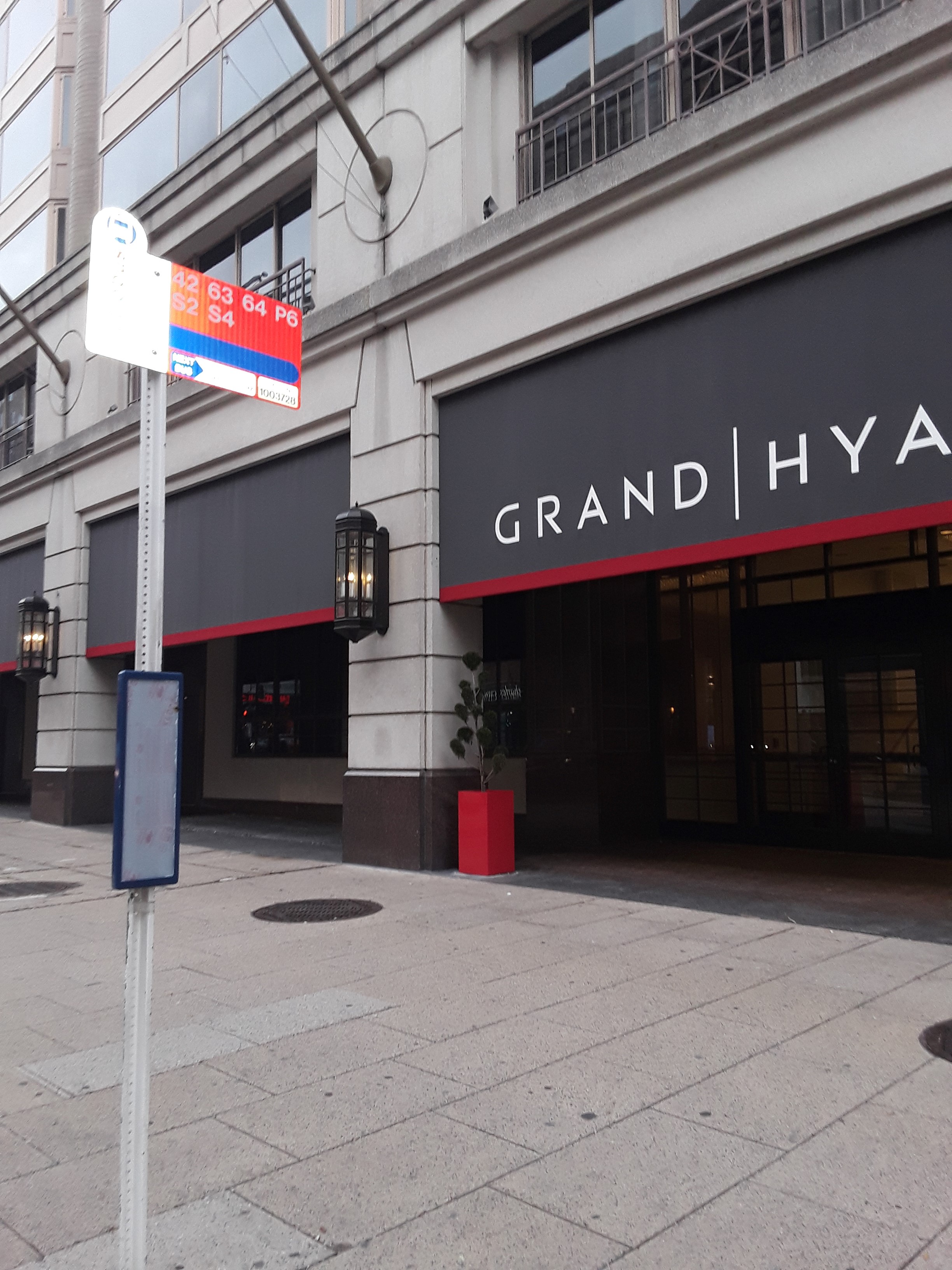 Taken by Gayle A.
See 11th St Nw & H St Nw station, Washington, on the map
Public Transit to 11th St Nw & H St Nw in Washington
Looking for directions to 11th St Nw & H St Nw in Washington, United States?
Download the Moovit App to find the current schedule and step-by-step directions for Bus, Metro or Train routes that pass through 11th St Nw & H St Nw.
Looking for the nearest stops closest to 11th St Nw & H St Nw ? Check out this list of closest stops to your destination: 11 St Nw+G St NW; 12th St & G St NW Nb; 11th St NW @ F St NW; F St Nw+12 St NW; Nw H St & Nw 11th St; Nw 11th St & Nw H St; 13 St Nw+H St NW; 11th St NW & F St NW; F St NW & 11th St NW; Gallery Place-Chinatown; Metro Center.
Bus: 11Y, 64, 79, 80, 971, G8, P6, S2, 63, 315, 325, 610, 620, 640, 943, 953, X2.Train: FREDERICKSBURG LINE, MARC.Metro: METRORAIL BLUE LINE, METRORAIL GREEN LINE, METRORAIL RED LINE, METRORAIL YELLOW LINE, METRORAIL ORANGE LINE, METRORAIL SILVER LINE.
We make riding on public transit to 11th St Nw & H St Nw easy, which is why over 1.5 million users, including users in Washington trust Moovit as the best app for public transit.
Use the app to navigate to popular places including to the airport, hospital, stadium, grocery store, mall, coffee shop, school, college, and university.
Location: Washington, Washington, D.C. - Baltimore, MD
Bus stops near 11th St Nw & H St Nw stop
Get around Washington by public transit!
Traveling around Washington has never been so easy. See step by step directions as you travel to any attraction, street or major public transit station. View bus and train schedules, arrival times, service alerts and detailed routes on a map, so you know exactly how to get to anywhere in Washington.
When traveling to any destination around Washington use Moovit's Live Directions with Get Off Notifications to know exactly where and how far to walk, how long to wait for your line, and how many stops are left. Moovit will alert you when it's time to get off — no need to constantly re-check whether yours is the next stop.
Wondering how to use public transit in Washington or how to pay for public transit in Washington? Moovit public transit app can help you navigate your way with public transit easily, and at minimum cost. It includes public transit fees, ticket prices, and costs. Looking for a map of Washington public transit lines? Moovit public transit app shows all public transit maps in Washington with all Bus, Train, Metro, Light Rail and Ferry routes and stops on an interactive map.
Washington, D.C. - Baltimore, MD has 5 transit type(s), including: Bus, Train, Metro, Light Rail and Ferry, operated by several transit agencies, including MDOT MTA, Marc, Arlington Transit (ART), Montgomery County Ride On, Fairfax Connector, WMATA, DASH - Alexandria, Virginia Railway Express (VRE), RTA of Central Maryland, PRTC, University of Maryland Baltimore Shuttle, NIST Shuttle, DC Streetcar, LCT and Delmarva Community Transit