85 St-Forest Pkwy station - Tuesday schedule
| Line | Direction | Time |
|---|---|---|
| COMMUTER RAIL | New London | 6:03 AM |
| COMMUTER RAIL | New London | 6:13 AM |
| COMMUTER RAIL | New Haven | 6:18 AM |
| COMMUTER RAIL | New London | 6:22 AM |
| COMMUTER RAIL | New London | 6:33 AM |
| COMMUTER RAIL | New Haven | 6:38 AM |
| COMMUTER RAIL | New London | 6:44 AM |
| COMMUTER RAIL | New Haven | 6:47 AM |
| COMMUTER RAIL | New London | 6:54 AM |
| COMMUTER RAIL | New Haven | 6:55 AM |
| COMMUTER RAIL | New London | 7:03 AM |
| COMMUTER RAIL | New Haven | 7:03 AM |
| COMMUTER RAIL | New Haven | 7:11 AM |
| COMMUTER RAIL | New London | 7:11 AM |
| COMMUTER RAIL | New Haven | 7:18 AM |
| COMMUTER RAIL | New London | 7:19 AM |
| COMMUTER RAIL | New Haven | 7:24 AM |
| COMMUTER RAIL | New London | 7:26 AM |
| COMMUTER RAIL | New London | 7:32 AM |
| COMMUTER RAIL | New Haven | 7:34 AM |
| COMMUTER RAIL | New London | 7:38 AM |
| COMMUTER RAIL | New London | 7:43 AM |
| COMMUTER RAIL | New Haven | 7:44 AM |
| COMMUTER RAIL | New London | 7:49 AM |
| COMMUTER RAIL | New London | 7:53 AM |
Directions to 85 St-Forest Pkwy station (Queens) with public transit
The following transit lines have routes that pass near 85 St-Forest Pkwy
How to get to 85 St-Forest Pkwy station by bus?
Click on the bus route to see step by step directions with maps, line arrival times and updated time schedules.
How to get to 85 St-Forest Pkwy station by train?
Click on the train route to see step by step directions with maps, line arrival times and updated time schedules.
How to get to 85 St-Forest Pkwy station by subway?
Click on the subway route to see step by step directions with maps, line arrival times and updated time schedules.
Bus stops near 85 St-Forest Pkwy stop in Queens
- Jamaica Av/86 St, 1 min walk,
Subway stations near 85 St-Forest Pkwy station in Queens
- Woodhaven Blvd, 2 min walk,
- 80 St, 18 min walk,
Bus lines to 85 St-Forest Pkwy station in Queens
- Q56, Broadway Jct Van Sinderen Av Via Jamaica,
What are the closest stations to 85 St-Forest Pkwy?
The closest stations to 85 St-Forest Pkwy are:
- Jamaica Av/86 St is 50 yards away, 1 min walk.
- Woodhaven Blvd is 144 yards away, 2 min walk.
- 80 St is 1462 yards away, 18 min walk.
Which bus lines stop near 85 St-Forest Pkwy?
These bus lines stop near 85 St-Forest Pkwy: Q52-SBS, Q53-SBS, Q56.
Which train lines stop near 85 St-Forest Pkwy?
These train lines stop near 85 St-Forest Pkwy: BABYLON BRANCH, FAR ROCKAWAY BRANCH, LONG BEACH BRANCH.
Which subway line stops near 85 St-Forest Pkwy?
J (Queens)
What’s the nearest subway station to 85 St-Forest Pkwy in Queens?
The nearest subway station to 85 St-Forest Pkwy in Queens is Woodhaven Blvd. It’s a 2 min walk away.
What’s the nearest bus station to 85 St-Forest Pkwy in Queens?
The nearest bus station to 85 St-Forest Pkwy in Queens is Jamaica Av/86 St. It’s a 1 min walk away.
What time is the first subway to 85 St-Forest Pkwy in Queens?
The J is the first subway that goes to 85 St-Forest Pkwy in Queens. It stops nearby at 3:01 AM.
What time is the last subway to 85 St-Forest Pkwy in Queens?
The A is the last subway that goes to 85 St-Forest Pkwy in Queens. It stops nearby at 4:07 AM.
What time is the first bus to 85 St-Forest Pkwy in Queens?
The Q56 is the first bus that goes to 85 St-Forest Pkwy in Queens. It stops nearby at 3:19 AM.
What time is the last bus to 85 St-Forest Pkwy in Queens?
The Q56 is the last bus that goes to 85 St-Forest Pkwy in Queens. It stops nearby at 2:54 AM.
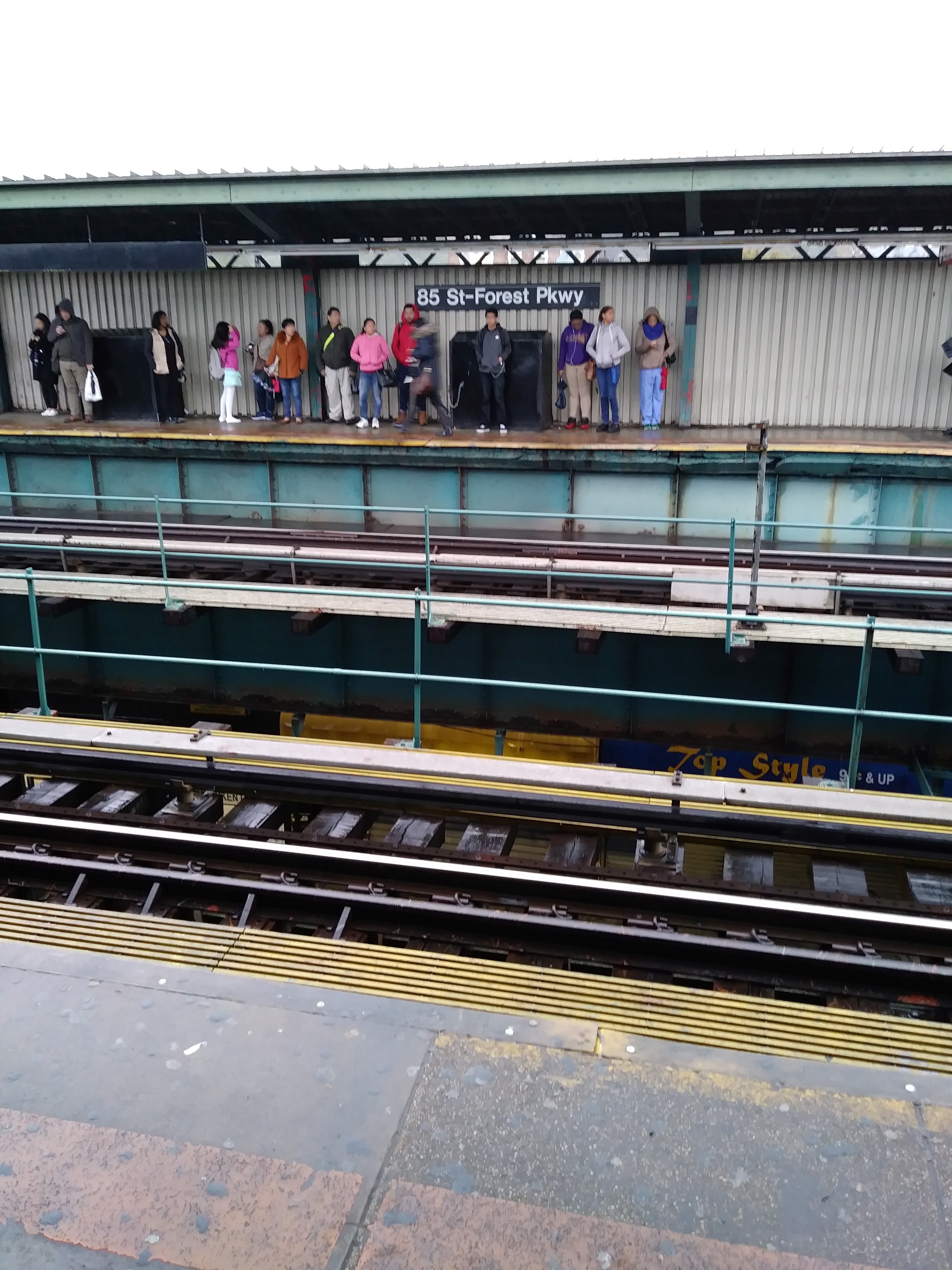
85 St-Forest Pkwy station
 Taken by Anonymous
See 85 St-Forest Pkwy station, Queens, on the map
Public transit to 85 St-Forest Pkwy station in Queens
Looking for directions to 85 St-Forest Pkwy in Queens, United States?
Download the Moovit App to find the current schedule and step-by-step directions for Subway, Bus or Train routes that pass through 85 St-Forest Pkwy.
Looking for the nearest stops closest to 85 St-Forest Pkwy ? Check out this list of closest stops to your destination: Jamaica Av/86 St; Woodhaven Blvd; 80 St.
Bus: Q52-SBS, Q53-SBS, Q56.Train: BABYLON BRANCH, FAR ROCKAWAY BRANCH, LONG BEACH BRANCH.Subway: J, Z, A.
We make riding on public transit to 85 St-Forest Pkwy easy, which is why over 1.5 million users, including users in Queens trust Moovit as the best app for public transit.
Use the app to navigate to popular places including to the airport, hospital, stadium, grocery store, mall, coffee shop, school, college, and university.
The station has the following entrances: 85th St and Jamaica Ave NE and 85th St and Jamaica Ave SE
The first line to this station is COMMUTER RAIL, at 6:03 AM, and the last line is COMMUTER RAIL at 5:58 AM.
84-27 Jamaica Ave, Queens, New York, NY, USA
This station serves Shore Line East’s lines
Popular routes from 85 St-Forest Pkwy station, Queens
Bus stop near 85 St-Forest Pkwy stop
Popular public transit stations in Queens
Get around Queens by public transit!
Traveling around Queens has never been so easy. See step by step directions as you travel to any attraction, street or major public transit station. View bus and train schedules, arrival times, service alerts and detailed routes on a map, so you know exactly how to get to anywhere in Queens.
When traveling to any destination around Queens use Moovit's Live Directions with Get Off Notifications to know exactly where and how far to walk, how long to wait for your line, and how many stops are left. Moovit will alert you when it's time to get off — no need to constantly re-check whether yours is the next stop.
Wondering how to use public transit in Queens or how to pay for public transit in Queens? Moovit public transit app can help you navigate your way with public transit easily, and at minimum cost. It includes public transit fees, ticket prices, and costs. Looking for a map of Queens public transit lines? Moovit public transit app shows all public transit maps in Queens with all Bus, Train, Subway, Light Rail, Ferry and Cable Car routes and stops on an interactive map.
New York - New Jersey has 6 transit type(s), including: Bus, Train, Subway, Light Rail, Ferry and Cable Car, operated by several transit agencies, including Metro-North Railroad, NJ Transit, PATH, NJ Transit Rail, NICE bus, Norwalk Transit District, Bee-Line Bus, LIRR, Staten Island Railway, MTA Subway, Roosevelt Island Operating Corporation, MTA Bus, HART, Suffolk County Transit and Seastreak