Directions to Crypto Dispensers | Cdreload (Boston) with public transportation
The following transit lines have routes that pass near Crypto Dispensers | Cdreload
 Bus: 120, 450, 712, 713, BLUE LINE SHUTTLE.
- Train: NEWBURYPORT/ROCKPORT.
- Subway: BLUE LINE.
How to get to Crypto Dispensers | Cdreload by bus?
Click on the bus route to see step by step directions with maps, line arrival times and updated time schedules.
From 110 Francis Street Garage, Boston
109 minFrom Harvard Stadium, Boston
99 minFrom Lynn, MA, Lynn
70 minFrom Mass Eye & Ear, Boston
82 minFrom Cheers Beacon Hill, Boston
44 minFrom Park Plaza Castle, Boston
48 minFrom Homewood Suites-Boston Seaport District, Boston
40 minFrom Hyatt Regency Boston, Boston
35 minFrom Boston University Track and Tennis Center, Boston
107 minFrom Mapparium, Boston
77 min
How to get to Crypto Dispensers | Cdreload by train?
Click on the train route to see step by step directions with maps, line arrival times and updated time schedules.
How to get to Crypto Dispensers | Cdreload by subway?
Click on the subway route to see step by step directions with maps, line arrival times and updated time schedules.
From 110 Francis Street Garage, Boston
53 minFrom Harvard Stadium, Boston
55 minFrom Mass Eye & Ear, Boston
49 minFrom Cheers Beacon Hill, Boston
35 minFrom Mapparium, Boston
34 minFrom Park Plaza Castle, Boston
30 minFrom Homewood Suites-Boston Seaport District, Boston
52 minFrom Hyatt Regency Boston, Boston
25 minFrom Boston University Track and Tennis Center, Boston
55 min
Bus stop near Crypto Dispensers | Cdreload in Boston
- Orient Heights, 5 min walk,VIEW
Subway station near Crypto Dispensers | Cdreload in Boston
- Orient Heights, 33 min walk,VIEW
Bus lines to Crypto Dispensers | Cdreload in Boston
- 120, Maverick via Jeffries Point - Orient Heights via Waldemar,VIEW
- 712, Orient Heights - Point Shirley,VIEW
- 713, Orient Heights - Point Shirley,VIEW
- BLUE LINE SHUTTLE, Orient Heights - Government Center (Local),VIEW
- BLUE LINE SHUTTLE, Airport - Wonderland,VIEW
- BLUE LINE SHUTTLE, Wonderland - Orient Heights,VIEW
- BLUE LINE SHUTTLE, Maverick - Wonderland,VIEW
- BLUE LINE SHUTTLE, Orient Heights - Government Center (Express),VIEW
- BLUE LINE SHUTTLE, Wonderland - Government Center,VIEW
- BLUE LINE SHUTTLE, Wonderland - Airport (Shuttle),VIEW
What are the closest stations to Crypto Dispensers | Cdreload?
The closest stations to Crypto Dispensers | Cdreload are:
- Orient Heights is 423 yards away, 5 min walk.
Which bus lines stop near Crypto Dispensers | Cdreload?
These bus lines stop near Crypto Dispensers | Cdreload: 120, 450.
Which train line stops near Crypto Dispensers | Cdreload?
NEWBURYPORT/ROCKPORT (#120 | North Station)
Which subway line stops near Crypto Dispensers | Cdreload?
BLUE LINE (Wonderland)
What’s the nearest bus station to Crypto Dispensers | Cdreload in Boston?
The nearest bus station to Crypto Dispensers | Cdreload in Boston is Orient Heights. It’s a 5 min walk away.
What time is the first subway to Crypto Dispensers | Cdreload in Boston?
The BLUE LINE is the first subway that goes to Crypto Dispensers | Cdreload in Boston. It stops nearby at 5:08 AM.
What time is the last subway to Crypto Dispensers | Cdreload in Boston?
The BLUE LINE is the last subway that goes to Crypto Dispensers | Cdreload in Boston. It stops nearby at 2:06 AM.
What time is the first bus to Crypto Dispensers | Cdreload in Boston?
The 712 is the first bus that goes to Crypto Dispensers | Cdreload in Boston. It stops nearby at 4:50 AM.
What time is the last bus to Crypto Dispensers | Cdreload in Boston?
The 120 is the last bus that goes to Crypto Dispensers | Cdreload in Boston. It stops nearby at 1:38 AM.
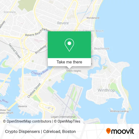
See Crypto Dispensers | Cdreload, Boston, on the map
Public Transit to Crypto Dispensers | Cdreload in Boston
Wondering how to get to Crypto Dispensers | Cdreload in Boston? Moovit helps you find the best way to get to Crypto Dispensers | Cdreload with step-by-step directions from the nearest public transit station.
Moovit provides free maps and live directions to help you navigate through your city. View schedules, routes, timetables, and find out how long does it take to get to Crypto Dispensers | Cdreload in real time.
Looking for the nearest stop or station to Crypto Dispensers | Cdreload? Check out this list of stops closest to your destination: Orient Heights.
Bus: 120, 450, 712, 713, BLUE LINE SHUTTLE, BLUE LINE SHUTTLE.Train: NEWBURYPORT/ROCKPORT.Subway: BLUE LINE.
Want to see if there’s another route that gets you there at an earlier time? Moovit helps you find alternative routes or times. Get directions from and directions to Crypto Dispensers | Cdreload easily from the Moovit App or Website.
We make riding to Crypto Dispensers | Cdreload easy, which is why over 1.7 million users, including users in Boston, trust Moovit as the best app for public transit. You don’t need to download an individual bus app or train app, Moovit is your all-in-one transit app that helps you find the best bus time or train time available.
For information on prices of subway, bus and train, costs and ride fares to Crypto Dispensers | Cdreload, please check the Moovit app.
Use the app to navigate to popular places including to the airport, hospital, stadium, grocery store, mall, coffee shop, school, college, and university.
Crypto Dispensers | Cdreload Address: 971 Bennington St street in Boston
- Crush Pizza,
- Wave n Pave Surf Skate & Tattoo,
- New Trend Hair Styling House For Men,
- Beauty Nails Boston,
- Orient Heights Branch Library,
- Business,
- Bajucol,
- East Boston,
- Coinbridge Bitcoin ATM,
- MBTA Bus Route 120 to Maverick Station,
- MBTA Orient Heights Station,
- MBTA Winthrop Bus Orient Heights T Stop,
- USPS Collection Box - Blue Box,
- Swift Sell,
- Chels's Cheese and Cracka Castle,
- Constitution Beach,
- Constitution Beach,
- Bellair Expediting Boston,
- Reference Real Estate,
- Orient Heights Beach
Places Near Crypto Dispensers | Cdreload (Boston)
- Isabella Stewart Gardner Museum, Boston,
- Wang Theater, Boston,
- House Of Blues, Boston,
- Cheers, Boston,
- Faneuil Hall, Boston,
- Leader Bank Pavilion (Leader Bank Pavillion), Boston,
- Td Garden, Boston,
- Castle Island, Boston,
- Massachusetts General Hospital, Boston,
- Mgm Music Hall, Boston,
- Prudential Center, Boston,
- North End, Boston,
- Museum Of Science, Boston,
- Seaport District, Boston,
- Boston Children's Hospital, Boston,
- Quincy Market, Boston,
- Boston Common, Boston,
- Boston Medical Center, Boston,
- Boston Convention & Exhibition Center, Boston,
- Wilbur Theatre, Boston
How to get to popular places in Boston with public transit
Get around Boston by public transit!
Traveling around Boston has never been so easy. See step by step directions as you travel to any attraction, street or major public transit station. View bus and train schedules, arrival times, service alerts and detailed routes on a map, so you know exactly how to get to anywhere in Boston.
When traveling to any destination around Boston use Moovit's Live Directions with Get Off Notifications to know exactly where and how far to walk, how long to wait for your line, and how many stops are left. Moovit will alert you when it's time to get off — no need to constantly re-check whether yours is the next stop.
Wondering how to use public transit in Boston or how to pay for public transit in Boston? Moovit public transit app can help you navigate your way with public transit easily, and at minimum cost. It includes public transit fees, ticket prices, and costs. Looking for a map of Boston public transit lines? Moovit public transit app shows all public transit maps in Boston with all Bus, Train, Subway and Ferry routes and stops on an interactive map.
Boston has 4 transit type(s), including: Bus, Train, Subway and Ferry, operated by several transit agencies, including MBTA, Southeastern Regional Transit Authority, MetroWest Regional Transit Authority, Rhode Island Public Transit Authority, WRTA, Lowell Regional Transit Authority, Merrimack Valley Transit, Montachusett Regional Transit Authority, Cape Cod Regional Transit Authority, Brockton Area Transit Authority, Martha's Vineyard Transit Authority, the WAVE - Nantucket Regional Transit Authority, GATRA, Cape Ann Transportation Authority and Massport